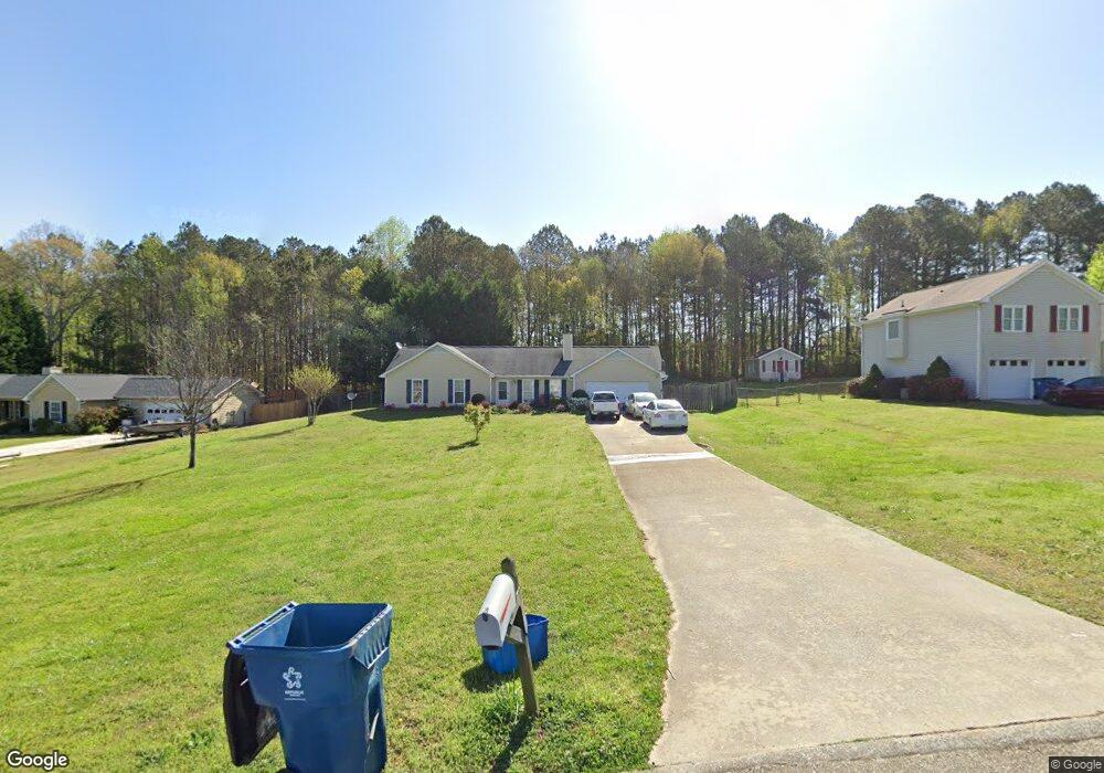
1242 Cabots Dr Unit 2 Auburn, GA 30011
Estimated Value: $308,000 - $324,503
3
Beds
2
Baths
1,341
Sq Ft
$237/Sq Ft
Est. Value
About This Home
This home is located at 1242 Cabots Dr Unit 2, Auburn, GA 30011 and is currently estimated at $318,126, approximately $237 per square foot. 1242 Cabots Dr Unit 2 is a home located in Barrow County with nearby schools including Auburn Elementary School, Westside Middle School, and Apalachee High School.
Ownership History
Date
Name
Owned For
Owner Type
Purchase Details
Closed on
Feb 7, 2014
Sold by
Binley Kent N
Bought by
Binley Christine
Current Estimated Value
Purchase Details
Closed on
Aug 31, 2006
Sold by
Watkins Christopher S
Bought by
Binley Kent N
Home Financials for this Owner
Home Financials are based on the most recent Mortgage that was taken out on this home.
Original Mortgage
$90,900
Interest Rate
6.36%
Mortgage Type
New Conventional
Purchase Details
Closed on
Jun 29, 1995
Sold by
Mark Michael Tonya
Bought by
Watkins Christopher
Purchase Details
Closed on
Sep 9, 1992
Bought by
Mauk Michael J and Mauk Ton
Create a Home Valuation Report for This Property
The Home Valuation Report is an in-depth analysis detailing your home's value as well as a comparison with similar homes in the area
Home Values in the Area
Average Home Value in this Area
Purchase History
| Date | Buyer | Sale Price | Title Company |
|---|---|---|---|
| Binley Christine | $200 | -- | |
| Binley Kent N | $129,900 | -- | |
| Watkins Christopher | $79,900 | -- | |
| Mauk Michael J | $69,000 | -- |
Source: Public Records
Mortgage History
| Date | Status | Borrower | Loan Amount |
|---|---|---|---|
| Previous Owner | Binley Kent N | $90,900 | |
| Closed | Watkins Christopher | $0 |
Source: Public Records
Tax History Compared to Growth
Tax History
| Year | Tax Paid | Tax Assessment Tax Assessment Total Assessment is a certain percentage of the fair market value that is determined by local assessors to be the total taxable value of land and additions on the property. | Land | Improvement |
|---|---|---|---|---|
| 2024 | $2,689 | $90,877 | $20,000 | $70,877 |
| 2023 | $1,297 | $71,127 | $20,000 | $51,127 |
| 2022 | $1,427 | $51,880 | $12,800 | $39,080 |
| 2021 | $1,523 | $51,880 | $12,800 | $39,080 |
| 2020 | $1,529 | $51,880 | $12,800 | $39,080 |
| 2019 | $1,551 | $51,880 | $12,800 | $39,080 |
| 2018 | $1,387 | $47,047 | $9,800 | $37,247 |
| 2017 | $208 | $38,038 | $9,800 | $28,238 |
| 2016 | $988 | $35,278 | $9,800 | $25,478 |
| 2015 | $1,001 | $35,631 | $9,800 | $25,831 |
| 2014 | $390 | $32,481 | $6,272 | $26,209 |
| 2013 | -- | $31,480 | $6,272 | $25,208 |
Source: Public Records
Map
Nearby Homes
- 1236 Cabots Dr
- 1162 Pinebrook Rd Unit 1
- 624 Red Fox Ln
- 1201 Saint Andrews Dr
- 410 Kilcrease Rd
- 4079 Brookmont Way
- 5779 Wheeler Ridge Rd
- 1306 Stonemont Rd Unit 1
- 1308 Smokerise Ln
- 305 Crosswalk Dr
- 302 Jonaquil Ave
- 298 Dandelion Ln
- 23 Woodland Rd
- 569 Appalachee Ridge Rd
- 1127 Bradford Park Dr
- 1237 Carl Bethlehem Rd
- 1071 Atlanta Hwy NW
- 0 Hwy 316 Unit 10599538
- 0 Hwy 316 Unit 7645364
- 00 Atlanta Hwy
- 1244 Cabots Dr
- 1240 Cabots Dr
- 1246 Cabots Dr
- 1238 Cabots Dr
- 1241 Cabots Dr Unit 2
- 1243 Cabots Dr
- 1239 Cabots Dr
- 1245 Cabots Dr Unit 26
- 1245 Cabots Dr
- 1248 Cabots Dr Unit 2
- 1236 Cabots Dr Unit 16
- 1237 Cabots Dr Unit 2
- 237 Kennedy Sells Rd
- 241 Kennedy Sells Rd
- 1247 Cabots Dr Unit 2
- 1228 Cabots Ridge Unit 2
- 1228 Cabots Ridge
- 227 Kennedy Sells Rd
- 1230 Cabots Ridge
- 1250 Cabots Dr