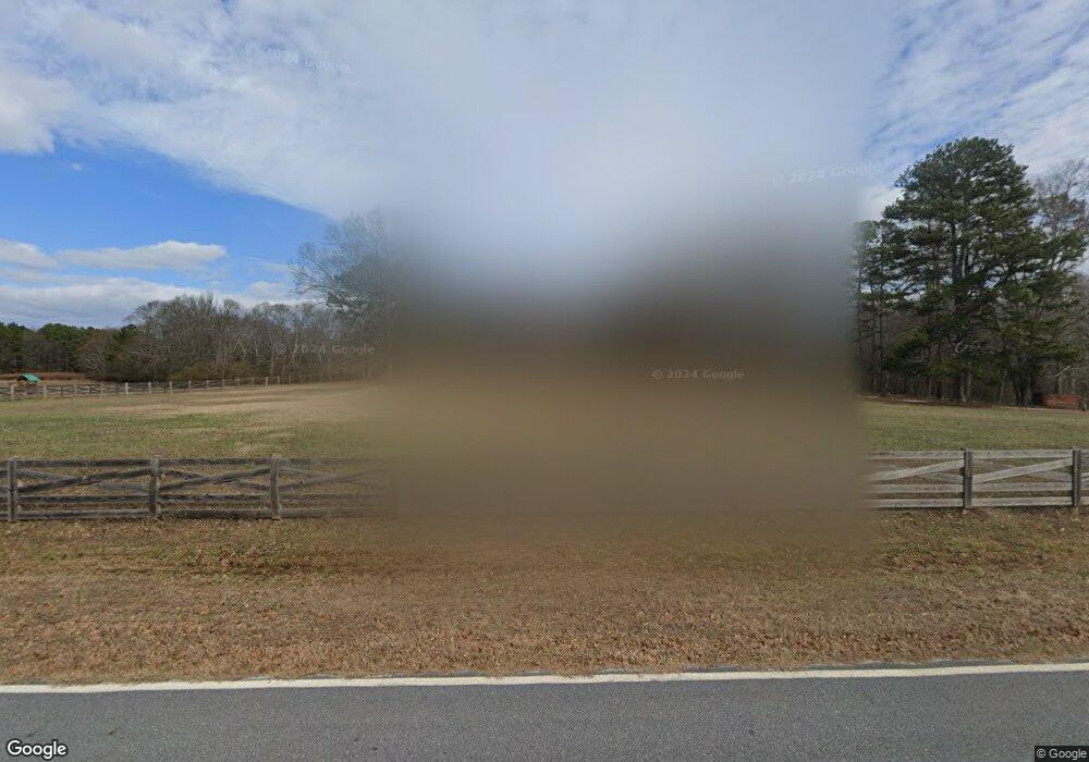
1242 Foster Rd Statham, GA 30666
Estimated Value: $387,000 - $483,000
--
Bed
2
Baths
1,562
Sq Ft
$279/Sq Ft
Est. Value
About This Home
This home is located at 1242 Foster Rd, Statham, GA 30666 and is currently estimated at $435,462, approximately $278 per square foot. 1242 Foster Rd is a home located in Barrow County with nearby schools including Bethlehem Elementary School, Haymon-Morris Middle School, and Apalachee High School.
Ownership History
Date
Name
Owned For
Owner Type
Purchase Details
Closed on
Apr 4, 2024
Sold by
Freeman Teddy Mark
Bought by
Teddy Mark Freeman Revocable Trust Dated and Freeman Teddy Mark Tr
Current Estimated Value
Purchase Details
Closed on
Nov 30, 2023
Sold by
Freeman Teddy Mark
Bought by
Freeman Teddy Mark Trust and Teddy Mark Freeman Revocable Trust Dated
Purchase Details
Closed on
Oct 23, 2023
Sold by
Freeman Deborah Jane
Bought by
Freeman Ashley
Create a Home Valuation Report for This Property
The Home Valuation Report is an in-depth analysis detailing your home's value as well as a comparison with similar homes in the area
Home Values in the Area
Average Home Value in this Area
Purchase History
| Date | Buyer | Sale Price | Title Company |
|---|---|---|---|
| Teddy Mark Freeman Revocable Trust Dated | -- | -- | |
| Freeman Amber Michelle | -- | -- | |
| Freeman Teddy Mark Trust | -- | -- | |
| Freeman Ashley | -- | -- |
Source: Public Records
Tax History Compared to Growth
Tax History
| Year | Tax Paid | Tax Assessment Tax Assessment Total Assessment is a certain percentage of the fair market value that is determined by local assessors to be the total taxable value of land and additions on the property. | Land | Improvement |
|---|---|---|---|---|
| 2024 | $2,044 | $162,395 | $88,451 | $73,944 |
| 2023 | $1,617 | $162,395 | $88,451 | $73,944 |
| 2022 | $1,437 | $130,639 | $88,451 | $42,188 |
| 2021 | $1,201 | $100,942 | $62,270 | $38,672 |
| 2020 | $1,092 | $73,709 | $38,552 | $35,157 |
| 2019 | $1,107 | $73,709 | $38,552 | $35,157 |
| 2018 | $1,083 | $73,709 | $38,552 | $35,157 |
| 2017 | $1,978 | $67,930 | $38,552 | $29,378 |
| 2016 | $883 | $60,922 | $31,202 | $29,719 |
| 2015 | $895 | $61,263 | $31,202 | $30,061 |
| 2014 | $894 | $45,350 | $15,289 | $30,061 |
| 2013 | -- | $43,881 | $15,289 | $28,592 |
Source: Public Records
Map
Nearby Homes
- 1190 Foster Rd
- 0 Wall Rd Unit 10504981
- 0 Wall Rd Unit 7564754
- 572 Elder Rd SE
- 568 Elder Rd SE
- 564 Elder Rd SE
- 576 Elder Rd SE
- 0 Mccarty Rd Unit 10583122
- 0 Mccarty Rd Unit CL338739
- 0 Mccarty Rd Unit 10587569
- 0 Mccarty Rd Unit 7620562
- 2439 Kumbanad Ct
- 0 Georgia 316
- 112 Shallow Way
- The Everglade Plan at Sutton's Landing - Sutton’s Landing
- The Farmington Plan at Sutton's Landing - Sutton’s Landing
- 537 Elder Rd
- 223 Westlyn Way
- 0 Perkins Rd Unit 10623675
- 0 Perkins Rd Unit 7664605
- 1232 Foster Rd
- 1228 Foster Rd
- 1224 Foster Rd
- 1220 Foster Rd
- 1208 Foster Rd
- 1225 Foster Rd
- 1225 Foster Rd Unit 17
- 1216 Foster Rd
- 0 Foster Rd Unit 8548819
- 0 Foster Rd Unit 8760719
- 0 Foster Rd Unit 8927138
- 100 Bowman Ct
- 1212 Foster Rd
- 1221 Foster Rd
- 1221 Foster Rd Unit 16
- 90 Bowman Ct
- 1215 Foster Rd
- 1215 Foster Rd Unit 15
- 1260 Foster Rd
- 1256 Foster Rd