1242 Lockhart Ave The Villages, FL 32162
Village of Caroline NeighborhoodEstimated Value: $408,380 - $498,000
--
Bed
--
Bath
1,927
Sq Ft
$232/Sq Ft
Est. Value
About This Home
This home is located at 1242 Lockhart Ave, The Villages, FL 32162 and is currently estimated at $446,595, approximately $231 per square foot. 1242 Lockhart Ave is a home located in Sumter County with nearby schools including Wildwood Elementary School and Wildwood Middle/High School.
Ownership History
Date
Name
Owned For
Owner Type
Purchase Details
Closed on
May 16, 2006
Sold by
The Villages Of Lake Sumter Inc
Bought by
Newhart William J and Newhart Lucille J
Current Estimated Value
Home Financials for this Owner
Home Financials are based on the most recent Mortgage that was taken out on this home.
Original Mortgage
$213,624
Outstanding Balance
$122,658
Interest Rate
6.25%
Mortgage Type
Fannie Mae Freddie Mac
Estimated Equity
$323,937
Create a Home Valuation Report for This Property
The Home Valuation Report is an in-depth analysis detailing your home's value as well as a comparison with similar homes in the area
Home Values in the Area
Average Home Value in this Area
Purchase History
| Date | Buyer | Sale Price | Title Company |
|---|---|---|---|
| Newhart William J | $267,100 | None Available |
Source: Public Records
Mortgage History
| Date | Status | Borrower | Loan Amount |
|---|---|---|---|
| Open | Newhart William J | $213,624 |
Source: Public Records
Tax History Compared to Growth
Tax History
| Year | Tax Paid | Tax Assessment Tax Assessment Total Assessment is a certain percentage of the fair market value that is determined by local assessors to be the total taxable value of land and additions on the property. | Land | Improvement |
|---|---|---|---|---|
| 2024 | $3,452 | $235,070 | -- | -- |
| 2023 | $3,452 | $228,230 | $0 | $0 |
| 2022 | $3,375 | $221,590 | $0 | $0 |
| 2021 | $3,789 | $215,140 | $0 | $0 |
| 2020 | $3,847 | $212,170 | $0 | $0 |
| 2019 | $3,853 | $207,400 | $0 | $0 |
| 2018 | $3,619 | $203,540 | $0 | $0 |
| 2017 | $3,640 | $199,360 | $0 | $0 |
| 2016 | $3,584 | $195,260 | $0 | $0 |
| 2015 | $3,605 | $193,910 | $0 | $0 |
| 2014 | $3,678 | $192,380 | $0 | $0 |
Source: Public Records
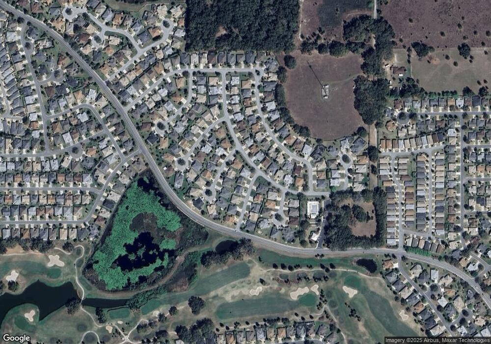
Map
Nearby Homes
- 1240 Gloverville Terrace
- 1175 Johnston Path
- 654 Poinsett Ct
- 445 Society Hill Cir
- 1410 Natalie Ln
- 523 Richburg St
- 323 Olanta Dr
- 752 Maybank Loop
- 133 Olanta Dr
- 290 Jefferson Ln
- 1428 Gayle Mill Dr
- 1079 Vance Trail
- 301 Pacolet Terrace
- 1135 Easley Way
- 1508 Gifford Ct
- 772 Hammond Place
- 1550 Ward Ct
- 1542 Wyatt Ave
- 375 Simpson St
- 859 Kline St
- 1250 Lockhart Ave
- 1221 Donalds Place
- 1237 Donalds Place
- 1229 Brunson Way
- 1235 Brunson Way
- 1258 Lockhart Ave
- 1245 Lockhart Ave
- 1223 Brunson Way
- 1249 Donalds Place
- 1241 Brunson Way Unit 111
- 1257 Lockhart Ave
- 1211 Brunson Way
- 1266 Lockhart Ave
- 1257 Donalds Place
- 1247 Brunson Way Unit 111
- 1247 Brunson Way
- 480 Cokesbury Dr
- 1218 Donalds Place
- 1226 Donalds Place
- 484 Cokesbury Dr