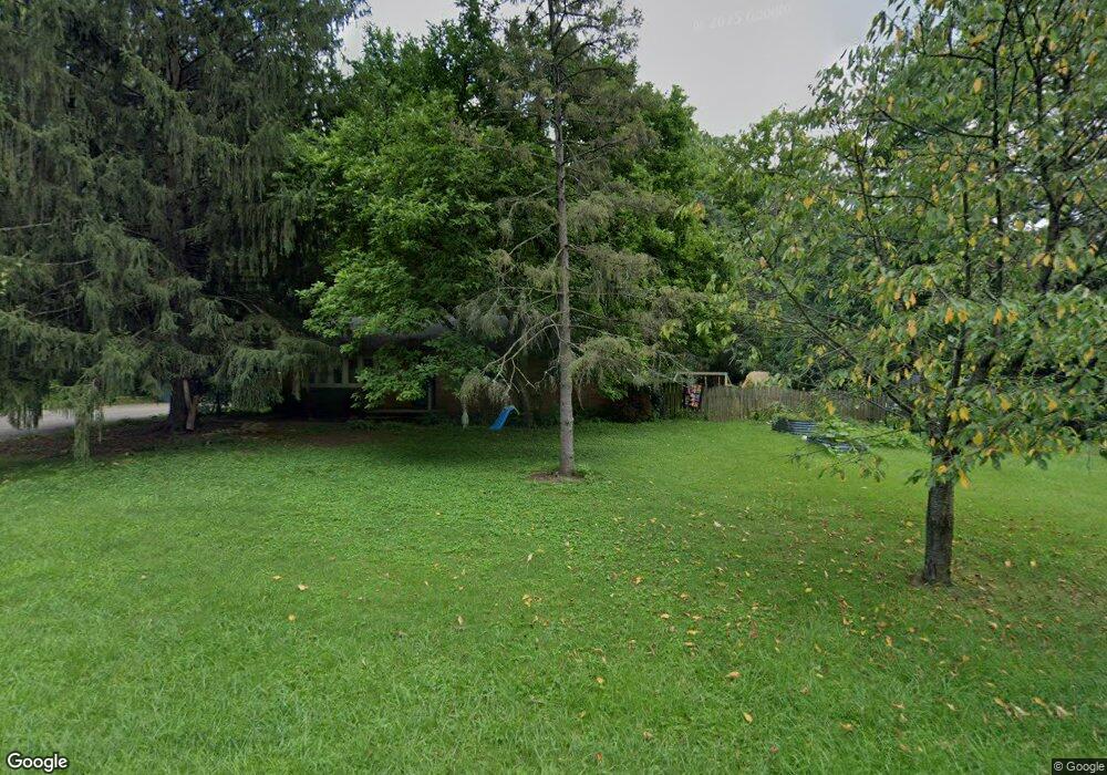
1242 Opal Ave Miamisburg, OH 45342
Downtown Miamisburg NeighborhoodEstimated Value: $253,000 - $286,000
3
Beds
2
Baths
1,196
Sq Ft
$229/Sq Ft
Est. Value
About This Home
This home is located at 1242 Opal Ave, Miamisburg, OH 45342 and is currently estimated at $273,607, approximately $228 per square foot. 1242 Opal Ave is a home located in Montgomery County with nearby schools including Miamisburg High School and Bethel Baptist School.
Ownership History
Date
Name
Owned For
Owner Type
Purchase Details
Closed on
May 5, 2017
Sold by
Alexander Eve W
Bought by
Miller William and Pultz Christina N
Current Estimated Value
Home Financials for this Owner
Home Financials are based on the most recent Mortgage that was taken out on this home.
Original Mortgage
$152,683
Outstanding Balance
$126,166
Interest Rate
3.87%
Mortgage Type
FHA
Estimated Equity
$147,441
Purchase Details
Closed on
Jul 18, 2003
Sold by
Smith Frank D
Bought by
Alexander Eva W
Home Financials for this Owner
Home Financials are based on the most recent Mortgage that was taken out on this home.
Original Mortgage
$144,875
Interest Rate
5.3%
Mortgage Type
Purchase Money Mortgage
Purchase Details
Closed on
Jan 27, 1994
Sold by
Smith Frank D and Smith Naomi
Bought by
Smith Frank D and Smith Naomi P
Create a Home Valuation Report for This Property
The Home Valuation Report is an in-depth analysis detailing your home's value as well as a comparison with similar homes in the area
Home Values in the Area
Average Home Value in this Area
Purchase History
| Date | Buyer | Sale Price | Title Company |
|---|---|---|---|
| Miller William | $155,500 | First Ohino Title Insurance | |
| Alexander Eva W | $157,500 | -- | |
| Smith Frank D | -- | -- |
Source: Public Records
Mortgage History
| Date | Status | Borrower | Loan Amount |
|---|---|---|---|
| Open | Miller William | $152,683 | |
| Closed | Alexander Eva W | $144,875 |
Source: Public Records
Tax History Compared to Growth
Tax History
| Year | Tax Paid | Tax Assessment Tax Assessment Total Assessment is a certain percentage of the fair market value that is determined by local assessors to be the total taxable value of land and additions on the property. | Land | Improvement |
|---|---|---|---|---|
| 2024 | $4,814 | $75,860 | $11,860 | $64,000 |
| 2023 | $4,814 | $75,860 | $11,860 | $64,000 |
| 2022 | $3,713 | $49,260 | $7,700 | $41,560 |
| 2021 | $3,284 | $49,260 | $7,700 | $41,560 |
| 2020 | $3,276 | $49,260 | $7,700 | $41,560 |
| 2019 | $2,919 | $40,240 | $7,700 | $32,540 |
| 2018 | $2,929 | $40,240 | $7,700 | $32,540 |
| 2017 | $2,909 | $40,240 | $7,700 | $32,540 |
| 2016 | $2,573 | $34,270 | $7,700 | $26,570 |
| 2015 | $2,522 | $34,270 | $7,700 | $26,570 |
| 2014 | $2,522 | $34,270 | $7,700 | $26,570 |
| 2012 | -- | $38,630 | $8,400 | $30,230 |
Source: Public Records
Map
Nearby Homes
- 1232 Hollyhill Dr
- 1109 Sundance Dr
- 1121 Dayket Cir
- 857 Lea Castle Place
- 00 Heincke Rd
- 1803 Cudgell Dr
- 308 Ironwood Dr
- 765 Heincke Rd
- 948 Kercher St
- 429 Wilson Park Dr
- 860 Mardel Dr
- 00 Graceland Dr
- 257 Ironwood Dr
- 250 Grantwood Dr
- 838 Maid Marion Ct
- 1000 Skyview Dr
- 1137 E Pearl St
- 703 Friar Tuck Ct
- 1642 Carolyn Dr
- 1678 Carolyn Dr
- 1310 Opal Ave
- 1261 Hollyhill Dr
- 1243 Hollyhill Dr
- 1243 Opal Ave
- 1253 Opal Ave
- 1311 Opal Ave
- 1233 Opal Ave
- 1222 Opal Ave
- 1258 Hollyhill Dr
- 1223 Opal Ave
- 1233 Hollyhill Dr
- 1317 Chrisman Land
- 1351 Opal Ave
- 1332 Chrisman Land
- 1368 Chrisman Land
- 1356 Chrisman Landing
- 1329 Chrisman Landing
- 1341 Chrisman Landing
- 1350 Opal Ave
- 1252 Hollyhill Dr