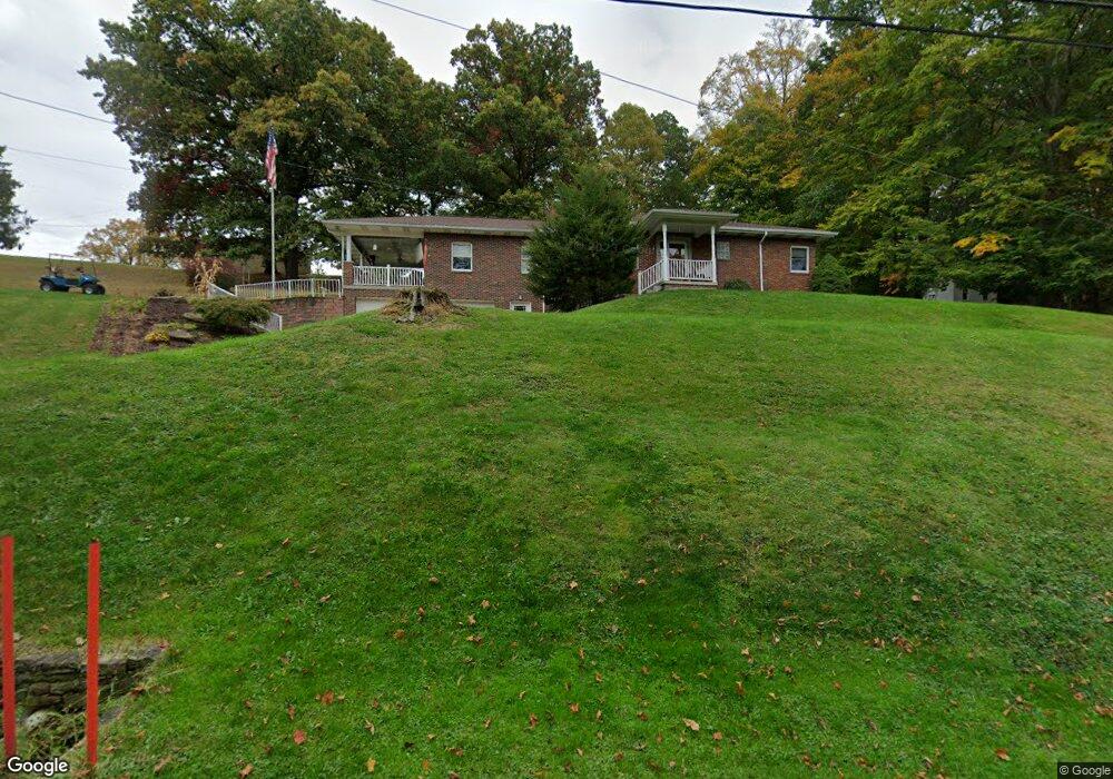
1242 Route 481 Charleroi, PA 15022
Fallowfield Township NeighborhoodEstimated Value: $221,000 - $282,894
3
Beds
2
Baths
1,637
Sq Ft
$155/Sq Ft
Est. Value
About This Home
This home is located at 1242 Route 481, Charleroi, PA 15022 and is currently estimated at $253,724, approximately $154 per square foot. 1242 Route 481 is a home located in Washington County with nearby schools including Charleroi Elementary Center, Charleroi Area Middle School, and Charleroi Area High School.
Ownership History
Date
Name
Owned For
Owner Type
Purchase Details
Closed on
Oct 28, 2022
Sold by
Thompson Colton R
Bought by
Paterline John F
Current Estimated Value
Purchase Details
Closed on
Jul 20, 2017
Sold by
Reesman Charistopher P and Reesman Jessica L
Bought by
Thompson Colton R
Home Financials for this Owner
Home Financials are based on the most recent Mortgage that was taken out on this home.
Original Mortgage
$184,594
Interest Rate
3.75%
Mortgage Type
FHA
Purchase Details
Closed on
May 28, 2015
Sold by
Wheatley Chad R
Bought by
Reesman Christopher P
Home Financials for this Owner
Home Financials are based on the most recent Mortgage that was taken out on this home.
Original Mortgage
$168,547
Interest Rate
3.62%
Mortgage Type
VA
Purchase Details
Closed on
Aug 21, 2009
Sold by
Cheskawich Jason L and Coulter Deborah S
Bought by
Wheatley Robert B
Create a Home Valuation Report for This Property
The Home Valuation Report is an in-depth analysis detailing your home's value as well as a comparison with similar homes in the area
Home Values in the Area
Average Home Value in this Area
Purchase History
| Date | Buyer | Sale Price | Title Company |
|---|---|---|---|
| Paterline John F | $237,000 | -- | |
| Thompson Colton R | $188,000 | None Available | |
| Reesman Christopher P | $165,000 | -- | |
| Wheatley Robert B | $24,000 | -- |
Source: Public Records
Mortgage History
| Date | Status | Borrower | Loan Amount |
|---|---|---|---|
| Previous Owner | Thompson Colton R | $184,594 | |
| Previous Owner | Reesman Christopher P | $168,547 |
Source: Public Records
Tax History Compared to Growth
Tax History
| Year | Tax Paid | Tax Assessment Tax Assessment Total Assessment is a certain percentage of the fair market value that is determined by local assessors to be the total taxable value of land and additions on the property. | Land | Improvement |
|---|---|---|---|---|
| 2025 | $4,200 | $178,400 | $21,500 | $156,900 |
| 2024 | $4,056 | $178,400 | $21,500 | $156,900 |
| 2023 | $4,056 | $178,400 | $21,500 | $156,900 |
| 2022 | $3,080 | $140,800 | $21,500 | $119,300 |
| 2021 | $3,080 | $140,800 | $21,500 | $119,300 |
| 2020 | $2,989 | $140,800 | $21,500 | $119,300 |
| 2019 | $2,911 | $140,800 | $21,500 | $119,300 |
| 2018 | $2,834 | $140,800 | $21,500 | $119,300 |
| 2017 | $202 | $140,800 | $21,500 | $119,300 |
| 2016 | $202 | $8,110 | $884 | $7,226 |
| 2015 | -- | $8,110 | $884 | $7,226 |
| 2014 | $202 | $8,110 | $884 | $7,226 |
| 2013 | $202 | $8,110 | $884 | $7,226 |
Source: Public Records
Map
Nearby Homes
- 1190 Route 481
- 138 Crossridge Rd
- 306 & 308 Fallowfield Ave
- 60 Wisetown Rd
- 5 Wesley St
- 0 Chestnut St
- 316 Fox Stop Rd
- 9 Coyle Curtain Rd
- 000 Bentleyville Rd
- 138 Chestnut St
- 30 Evans Rd
- 959 Bentleyville Rd
- 444 Deems Park Rd
- 415 Oakland Ave
- 27 S California Dr
- 216 Oakland Ave
- 413 Shady Ave
- 200 Piersol Ave
- 706 Shady Ave
- 705 Meadow Ave
- 1242 Route 481
- 1242 Route 481
- 1242 Route 481
- 1242 Route 481
- 30 Willow Ln
- 1219 Route 481
- 7 Willow Ln
- 1205 Route 481
- 1273 Route 481
- 1283 Route 481
- 227 Lover Jonestown Rd
- 966 Duvall Rd
- 5 Twin Bridges Rd
- 213 Lover Jonestown Rd
- 209 Lover Jonestown Rd
- 962 Duvall Rd
- 205 Lover Jonestown Rd
- 324 Kennedy Rd
- 244 Lover Jonestown Rd
- 244 Lover Jonestown Rd