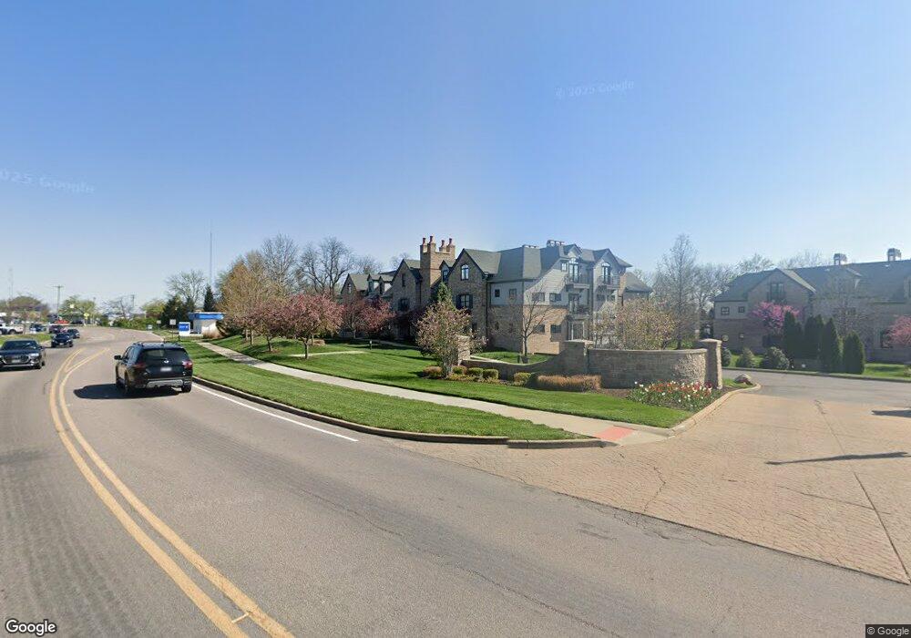
12420 Rott-2b1 Rd Unit 2B Sunset Hills, MO 63127
Estimated Value: $230,000 - $723,000
2
Beds
2
Baths
2,275
Sq Ft
$229/Sq Ft
Est. Value
About This Home
This home is located at 12420 Rott-2b1 Rd Unit 2B, Sunset Hills, MO 63127 and is currently estimated at $521,305, approximately $229 per square foot. 12420 Rott-2b1 Rd Unit 2B is a home located in St. Louis County with nearby schools including Crestwood Elementary School, Truman Middle School, and Lindbergh High School.
Ownership History
Date
Name
Owned For
Owner Type
Purchase Details
Closed on
Jun 21, 2013
Sold by
Novus Laumeier Development Co Llc
Bought by
Adams Kay
Current Estimated Value
Home Financials for this Owner
Home Financials are based on the most recent Mortgage that was taken out on this home.
Original Mortgage
$149,000
Outstanding Balance
$106,648
Interest Rate
3.63%
Mortgage Type
New Conventional
Estimated Equity
$414,657
Create a Home Valuation Report for This Property
The Home Valuation Report is an in-depth analysis detailing your home's value as well as a comparison with similar homes in the area
Home Values in the Area
Average Home Value in this Area
Purchase History
| Date | Buyer | Sale Price | Title Company |
|---|---|---|---|
| Adams Kay | $299,000 | Hillsboro Title Company |
Source: Public Records
Mortgage History
| Date | Status | Borrower | Loan Amount |
|---|---|---|---|
| Open | Adams Kay | $149,000 |
Source: Public Records
Tax History Compared to Growth
Tax History
| Year | Tax Paid | Tax Assessment Tax Assessment Total Assessment is a certain percentage of the fair market value that is determined by local assessors to be the total taxable value of land and additions on the property. | Land | Improvement |
|---|---|---|---|---|
| 2025 | $6,442 | $112,160 | $19,840 | $92,320 |
| 2024 | $6,442 | $90,080 | $10,340 | $79,740 |
| 2023 | $6,427 | $90,080 | $10,340 | $79,740 |
| 2022 | $6,248 | $84,230 | $16,530 | $67,700 |
| 2021 | $6,217 | $84,230 | $16,530 | $67,700 |
| 2020 | $6,110 | $79,910 | $16,530 | $63,380 |
| 2019 | $6,094 | $79,910 | $16,530 | $63,380 |
| 2018 | $6,092 | $74,690 | $8,270 | $66,420 |
| 2017 | $6,027 | $74,690 | $8,270 | $66,420 |
| 2016 | $5,525 | $68,520 | $14,880 | $53,640 |
| 2015 | $5,452 | $68,520 | $14,880 | $53,640 |
| 2014 | $5,214 | $64,600 | $27,040 | $37,560 |
Source: Public Records
Map
Nearby Homes
- 12420 Rott Rd Unit 1B
- 118 Monica Dr
- 119 Monica Dr
- 12685 Alberts Laumeier Ct
- 10225 E Watson Rd
- 3906 Courtyard Place Dr
- 1412 Windward Ridge Dr
- 21 Black Oak Dr
- 301 Memphis St
- 1 Boxwood Ln
- 338 Memphis St
- 9129 Rott Rd
- 421 Spears St
- 362 Memphis St
- 343 Memphis St
- 322 Chicago St
- 367 Memphis St
- 318 Chicago St
- 1211 S Geyer Rd
- 8726 Gayle Ave
- 12420 Rott-2c1 Rd Unit 2C
- 12420 Rott-3b1 Unit 3B
- 12420 Rott-3c1 Rd Unit 3C
- 12420 Rott-3a1 Unit 3A
- 12420 Rott Rd Unit 1A
- 12420 Rott Rd Unit 1D
- 12420 Rott Rd Unit 1C
- 12420 Rott Rd Unit 3C
- 12420 Rott Rd Unit 3B
- 12420 Rott Rd Unit 3A
- 12420 Rott Rd Unit 2D
- 12420 Rott Rd Unit 2C
- 12420 Rott Rd Unit 2B
- 12420 Rott Rd Unit 2A
- 12420 Rott-1b1 Unit 1B
- 12420 Rott-1c1 Unit 1C
- 12420 Rott Bld 2 Rd Unit 1B
- 12420Bld 2 Rott Rd Unit 1B
- 12420 Rott-2b@lp Rd Unit 2B
- 12420 Rott-2d1 Rd Unit 2D