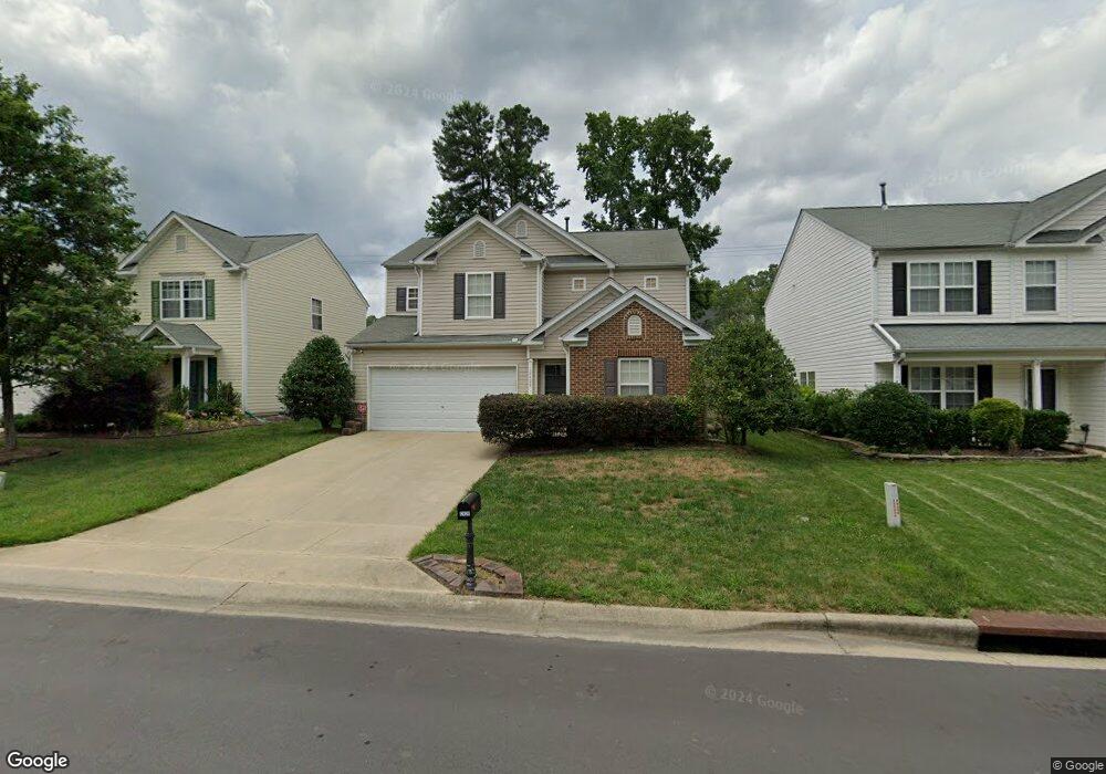
12428 N Exeter Way Durham, NC 27703
Eastern Durham NeighborhoodEstimated Value: $454,000 - $492,000
4
Beds
3
Baths
2,125
Sq Ft
$220/Sq Ft
Est. Value
About This Home
This home is located at 12428 N Exeter Way, Durham, NC 27703 and is currently estimated at $468,550, approximately $220 per square foot. 12428 N Exeter Way is a home located in Durham County with nearby schools including Spring Valley Elementary School, John W Neal Middle School, and Southern School of Energy & Sustainability.
Ownership History
Date
Name
Owned For
Owner Type
Purchase Details
Closed on
Nov 20, 2002
Sold by
Colony Homes Llc
Bought by
Battle Jesse and Battle Sharon M
Current Estimated Value
Home Financials for this Owner
Home Financials are based on the most recent Mortgage that was taken out on this home.
Original Mortgage
$131,076
Outstanding Balance
$54,619
Interest Rate
5.95%
Estimated Equity
$413,931
Create a Home Valuation Report for This Property
The Home Valuation Report is an in-depth analysis detailing your home's value as well as a comparison with similar homes in the area
Home Values in the Area
Average Home Value in this Area
Purchase History
| Date | Buyer | Sale Price | Title Company |
|---|---|---|---|
| Battle Jesse | $164,000 | -- |
Source: Public Records
Mortgage History
| Date | Status | Borrower | Loan Amount |
|---|---|---|---|
| Open | Battle Jesse | $131,076 | |
| Closed | Battle Jesse | $32,769 |
Source: Public Records
Tax History Compared to Growth
Tax History
| Year | Tax Paid | Tax Assessment Tax Assessment Total Assessment is a certain percentage of the fair market value that is determined by local assessors to be the total taxable value of land and additions on the property. | Land | Improvement |
|---|---|---|---|---|
| 2025 | $4,242 | $466,588 | $114,000 | $352,588 |
| 2024 | $2,859 | $247,809 | $45,400 | $202,409 |
| 2023 | $2,937 | $247,809 | $45,400 | $202,409 |
| 2022 | $2,764 | $247,809 | $45,400 | $202,409 |
| 2021 | $2,714 | $247,809 | $45,400 | $202,409 |
| 2020 | $2,645 | $247,809 | $45,400 | $202,409 |
| 2019 | $2,851 | $247,809 | $45,400 | $202,409 |
| 2018 | $2,570 | $211,355 | $36,887 | $174,468 |
| 2017 | $2,522 | $211,355 | $36,887 | $174,468 |
| 2016 | $2,449 | $211,355 | $36,887 | $174,468 |
| 2015 | $2,481 | $204,320 | $32,451 | $171,869 |
| 2014 | $2,446 | $204,320 | $32,451 | $171,869 |
Source: Public Records
Map
Nearby Homes
- 5519 Spindlewood Ct
- 12317 Aberdeen Chase Way
- Southampton Plan at Running Brook Townes
- Ashland Plan at Running Brook Townes
- Bristol Plan at Running Brook Townes
- 7229 Terregles Dr
- 10132 Marleybone Dr
- 7224 Ladbrooke St
- 10119 2nd Star Ct
- 3208 Shady Grove Rd
- 7328 Caversham Way
- 7330 Caversham Way
- 7403 Leesville Rd
- 7125 Crested Iris Place
- 11829 N Exeter Way
- 5608 Barham Ct
- 12116 Queensbridge Ct
- 4208 Carpenter Pond Rd
- 5233 Fairmead Cir
- 12133 Mabledon Ct
- 12424 N Exeter Way
- 12432 N Exeter Way
- 12436 N Exeter Way
- 12420 N Exeter Way
- 12440 N Exeter Way
- 12416 N Exeter Way
- 12429 Angel Vale Place
- 12425 Angel Vale Place
- 11216 N Exeter Way
- 12433 Angel Vale Place
- 12429 N Exeter Way
- 12425 N Exeter Way
- 12444 N Exeter Way
- 12421 N Exeter Way
- 12412 N Exeter Way
- 12437 N Exeter Way
- 12417 Angel Vale Place
- 12417 N Exeter Way
- 12441 N Exeter Way
- 12437 Angel Vale Place