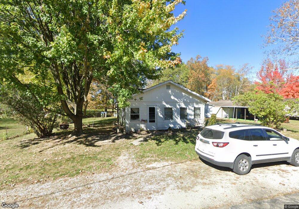
12429 State Route 362 Minster, OH 45865
Estimated Value: $101,668 - $143,000
1
Bed
1
Bath
848
Sq Ft
$145/Sq Ft
Est. Value
About This Home
This home is located at 12429 State Route 362, Minster, OH 45865 and is currently estimated at $123,223, approximately $145 per square foot. 12429 State Route 362 is a home located in Shelby County with nearby schools including Minster Elementary School and Minster Junior/Senior High School.
Ownership History
Date
Name
Owned For
Owner Type
Purchase Details
Closed on
May 9, 2019
Sold by
Brussell Darlene M and Francis Amye S
Bought by
Brussell David W
Current Estimated Value
Purchase Details
Closed on
May 8, 2019
Sold by
Rlt Orville C and Rlt Chambers Rlt
Bought by
Burnside Rebecca D and Brussell Victoria B
Purchase Details
Closed on
Apr 10, 2019
Sold by
Estate Of Helen Chambers
Bought by
Brussell Darlene M and Francis Amye S
Purchase Details
Closed on
Oct 5, 2018
Create a Home Valuation Report for This Property
The Home Valuation Report is an in-depth analysis detailing your home's value as well as a comparison with similar homes in the area
Home Values in the Area
Average Home Value in this Area
Purchase History
| Date | Buyer | Sale Price | Title Company |
|---|---|---|---|
| Brussell David W | -- | None Available | |
| Burnside Rebecca D | -- | None Available | |
| Brussell Darlene M | -- | None Available | |
| -- | -- | -- |
Source: Public Records
Tax History Compared to Growth
Tax History
| Year | Tax Paid | Tax Assessment Tax Assessment Total Assessment is a certain percentage of the fair market value that is determined by local assessors to be the total taxable value of land and additions on the property. | Land | Improvement |
|---|---|---|---|---|
| 2024 | $567 | $25,120 | $6,160 | $18,960 |
| 2023 | $539 | $25,740 | $6,160 | $19,580 |
| 2022 | $685 | $19,130 | $5,010 | $14,120 |
| 2021 | $682 | $19,130 | $5,010 | $14,120 |
| 2020 | $695 | $19,130 | $5,010 | $14,120 |
| 2019 | $466 | $16,290 | $4,160 | $12,130 |
| 2018 | $288 | $16,290 | $4,160 | $12,130 |
| 2017 | $287 | $16,290 | $4,160 | $12,130 |
| 2016 | $216 | $14,320 | $3,470 | $10,850 |
| 2015 | $210 | $14,320 | $3,470 | $10,850 |
| 2014 | $210 | $14,320 | $3,470 | $10,850 |
| 2013 | $193 | $13,500 | $3,470 | $10,030 |
Source: Public Records
Map
Nearby Homes
- 12299 Short Dr
- 7 E 2nd St
- 4221 State Route 362
- 194 S Cleveland St
- 10 W Main St
- 193 N Paris St
- 47 N Frankfort St
- 0 Stonegate Dr Unit 14 10544847
- 0 Stonegate Dr Unit 21 10544857
- 17 Stonegate Dr
- 11 Shania Place Unit 28
- 36 Shania Place Unit 23
- 28 Shania Place Unit 33
- 19 Shania Place Unit 33
- 27 Shania Place Unit 26
- 8381 Ohio 66
- 561 S Walnut St Unit Lot3
- 11968 Arling Rd
- 149 Janice Dr
- 129 Janice Dr
- 12401 State Route 362
- 12422 State Route 362
- 12040 State Route 362
- 12389 State Route 362
- 12511 Ohio 362
- 12511 Ohio 362 Unit 91
- 12517 Ohio 362
- 12532 Ohio 362 Unit 65
- 12539 Ohio 362 Unit 77
- 12541 Ohio 362 Unit 76
- 12545 Ohio 362 Unit 73
- 12555 Ohio 362 Unit 48
- 12557 Ohio 362
- 12557 Ohio 362 Unit 47
- 12562 Ohio 362 Unit x
- 12565 Ohio 362 Unit 43
- 12564 Ohio 362 Unit 8
- 12566 Ohio 362 Unit 9
- 12570 Ohio 362 Unit 11
- 12517 State Route 362 Unit Lot 88