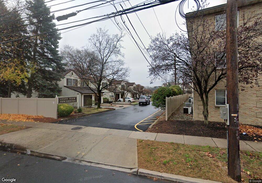
1242B N Broad St Hillside, NJ 07205
Westminster NeighborhoodEstimated Value: $372,000 - $553,000
Studio
--
Bath
2,131
Sq Ft
$197/Sq Ft
Est. Value
About This Home
This home is located at 1242B N Broad St, Hillside, NJ 07205 and is currently estimated at $418,977, approximately $196 per square foot. 1242B N Broad St is a home located in Union County with nearby schools including Abram P. Morris-Saybrook Elementary School, Hurden Looker School, and Ola Edwards Community School.
Ownership History
Date
Name
Owned For
Owner Type
Purchase Details
Closed on
Nov 11, 2007
Sold by
Hofler Brenda Louise
Bought by
Hofler Battle Brenda and Battle Milton
Current Estimated Value
Home Financials for this Owner
Home Financials are based on the most recent Mortgage that was taken out on this home.
Original Mortgage
$166,000
Outstanding Balance
$102,399
Interest Rate
5.9%
Mortgage Type
New Conventional
Estimated Equity
$316,578
Purchase Details
Closed on
Aug 14, 1995
Sold by
Willis Barbara
Bought by
Hofler Brenda Louise
Create a Home Valuation Report for This Property
The Home Valuation Report is an in-depth analysis detailing your home's value as well as a comparison with similar homes in the area
Home Values in the Area
Average Home Value in this Area
Purchase History
| Date | Buyer | Sale Price | Title Company |
|---|---|---|---|
| Hofler Battle Brenda | -- | Title Research Inc | |
| Hofler Brenda Louise | $116,500 | -- |
Source: Public Records
Mortgage History
| Date | Status | Borrower | Loan Amount |
|---|---|---|---|
| Open | Hofler Battle Brenda | $166,000 |
Source: Public Records
Tax History
| Year | Tax Paid | Tax Assessment Tax Assessment Total Assessment is a certain percentage of the fair market value that is determined by local assessors to be the total taxable value of land and additions on the property. | Land | Improvement |
|---|---|---|---|---|
| 2025 | $9,144 | $110,800 | $10,000 | $100,800 |
| 2024 | $8,878 | $110,800 | $10,000 | $100,800 |
| 2023 | $8,878 | $110,800 | $10,000 | $100,800 |
| 2022 | $8,796 | $110,800 | $10,000 | $100,800 |
| 2021 | $8,739 | $110,800 | $10,000 | $100,800 |
| 2020 | $8,688 | $110,800 | $10,000 | $100,800 |
| 2019 | $8,519 | $110,800 | $10,000 | $100,800 |
| 2018 | $8,434 | $110,800 | $10,000 | $100,800 |
| 2017 | $8,383 | $110,800 | $10,000 | $100,800 |
| 2016 | $8,373 | $110,800 | $10,000 | $100,800 |
| 2015 | $8,299 | $110,800 | $10,000 | $100,800 |
| 2014 | $8,168 | $110,800 | $10,000 | $100,800 |
Source: Public Records
Map
Nearby Homes
- 1250 N Broad St Unit A1
- 1229 Robert St
- 24 Hollywood Ave
- 1204 Salem Ave
- 1200 Salem Ave
- 137 Fairbanks St
- 161 Virginia St
- 1408 Lexington Place Unit 1410
- 124 Woodruff Place
- 1444 N Broad St
- 1379 Garfield Place
- 75 Hillside Ave
- 1018 John Glenn Dr
- 345 Sanford Ave
- 1038 Fairview Place
- 17 Country Club Ln
- 1504 Munn Ave
- 904 Cross Ave
- 1318 State St
- 111 Hanford St
- 1242A N Broad St
- 1234B N Broad St
- 1234A N Broad St
- 1240A N Broad St
- 1240 N Broad St
- 1240B N Broad St
- 1238B N Broad St
- 1250 N Broad St Unit A10
- 1250 N Broad St Unit C1
- 1250 N Broad St Unit B10
- 1250 N Broad St Unit C3
- 1250 N Broad St Unit A6
- 1250 N Broad St Unit C10
- 1250 N Broad St Unit C8
- 1250 N Broad St Unit B3
- 1250 N Broad St Unit B4
- 1250 N Broad St Unit A5
- 1250 N Broad St Unit C9
- 1250 N Broad St Unit C2
- 1250 N Broad St Unit C7
Your Personal Tour Guide
Ask me questions while you tour the home.