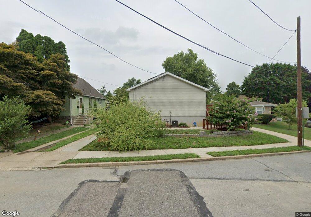
1243 Angora Dr Lansdowne, PA 19050
Estimated Value: $260,761 - $306,000
4
Beds
2
Baths
1,508
Sq Ft
$185/Sq Ft
Est. Value
About This Home
This home is located at 1243 Angora Dr, Lansdowne, PA 19050 and is currently estimated at $279,690, approximately $185 per square foot. 1243 Angora Dr is a home located in Delaware County with nearby schools including Evans Elementary School, Penn Wood Middle School, and Penn Wood High School - Cypress Street Campus.
Ownership History
Date
Name
Owned For
Owner Type
Purchase Details
Closed on
Jun 12, 2002
Sold by
Cotroneo Mary and Cotroneo Margaret
Bought by
Brazington Mabel C
Current Estimated Value
Home Financials for this Owner
Home Financials are based on the most recent Mortgage that was taken out on this home.
Original Mortgage
$60,000
Outstanding Balance
$24,578
Interest Rate
6.37%
Estimated Equity
$255,112
Create a Home Valuation Report for This Property
The Home Valuation Report is an in-depth analysis detailing your home's value as well as a comparison with similar homes in the area
Home Values in the Area
Average Home Value in this Area
Purchase History
| Date | Buyer | Sale Price | Title Company |
|---|---|---|---|
| Brazington Mabel C | $98,000 | Fidelity National Title Ins |
Source: Public Records
Mortgage History
| Date | Status | Borrower | Loan Amount |
|---|---|---|---|
| Open | Brazington Mabel C | $60,000 |
Source: Public Records
Tax History Compared to Growth
Tax History
| Year | Tax Paid | Tax Assessment Tax Assessment Total Assessment is a certain percentage of the fair market value that is determined by local assessors to be the total taxable value of land and additions on the property. | Land | Improvement |
|---|---|---|---|---|
| 2025 | $4,935 | $115,560 | $53,060 | $62,500 |
| 2024 | $4,935 | $115,560 | $53,060 | $62,500 |
| 2023 | $4,482 | $115,560 | $53,060 | $62,500 |
| 2022 | $4,273 | $115,560 | $53,060 | $62,500 |
| 2021 | $6,462 | $115,560 | $53,060 | $62,500 |
| 2020 | $2,050 | $32,830 | $32,830 | $0 |
| 2019 | $2,014 | $32,830 | $32,830 | $0 |
| 2018 | $6,299 | $104,120 | $0 | $0 |
| 2017 | $6,167 | $104,120 | $0 | $0 |
| 2016 | $571 | $104,120 | $0 | $0 |
| 2015 | $583 | $104,120 | $0 | $0 |
| 2014 | $583 | $104,120 | $0 | $0 |
Source: Public Records
Map
Nearby Homes
- 1016 Whitby Ave
- 813 Arbor Rd
- 536 Cypress St
- 825 Laurel Rd
- 1046 Cobbs Creek Pkwy
- 740 Church Ln
- 5859 Willows Ave
- 6030 Cedarhurst St
- 1048 Cobbs Creek Pkwy
- 314 S 60th St
- 5847 Willows Ave
- 5843 Ashland Ave
- 6005 Cedarhurst St
- 6026 Baltimore Ave
- 800 Bullock Ave
- 711 Yeadon Ave Unit 1
- 702 Cedar Ave
- 6013 Baltimore Ave
- 1214 S 60th St
- 1781 S 65th St
- 1241 Angora Dr
- 1245 Angora Dr
- 1225 Angora Dr
- 1226 Whitby Ave
- 1224 Whitby Ave
- 1223 Angora Dr
- 1240 Angora Dr
- 1230 Whitby Ave
- 1222B Whitby Ave
- 1221 Angora Dr
- 1242 Angora Dr
- 1222 Whitby Ave
- 1222 Whitby Ave
- 1244 Angora Dr
- 1246 Angora Dr
- 1220 Whitby Ave
- 1230 Angora Dr
- 1219 Angora Dr
- 1300 Angora Dr
- 1218 Whitby Ave