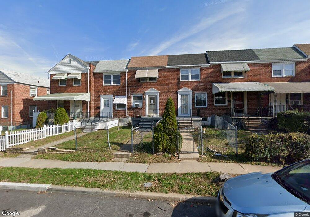
1243 Broening Hwy Baltimore, MD 21224
O'Donnell Heights NeighborhoodEstimated Value: $137,078 - $143,000
--
Bed
1
Bath
840
Sq Ft
$167/Sq Ft
Est. Value
About This Home
This home is located at 1243 Broening Hwy, Baltimore, MD 21224 and is currently estimated at $140,039, approximately $166 per square foot. 1243 Broening Hwy is a home located in Baltimore City with nearby schools including Graceland Park-O'Donnell Heights Elementary/Middle School, Booker T. Washington Middle School, and Patterson High School.
Ownership History
Date
Name
Owned For
Owner Type
Purchase Details
Closed on
Apr 24, 2009
Sold by
Friend Kenneth R
Bought by
Burford David L and Burford Llar M
Current Estimated Value
Purchase Details
Closed on
May 2, 2008
Sold by
Friend Kenneth R
Bought by
Friend Kenneth R and Friend Linda
Purchase Details
Closed on
Dec 2, 1994
Sold by
Dushel Joseph J
Bought by
Friend Kenneth R
Home Financials for this Owner
Home Financials are based on the most recent Mortgage that was taken out on this home.
Original Mortgage
$41,360
Interest Rate
8.81%
Create a Home Valuation Report for This Property
The Home Valuation Report is an in-depth analysis detailing your home's value as well as a comparison with similar homes in the area
Home Values in the Area
Average Home Value in this Area
Purchase History
| Date | Buyer | Sale Price | Title Company |
|---|---|---|---|
| Burford David L | $76,000 | -- | |
| Friend Kenneth R | -- | -- | |
| Friend Kenneth R | $41,000 | -- |
Source: Public Records
Mortgage History
| Date | Status | Borrower | Loan Amount |
|---|---|---|---|
| Previous Owner | Friend Kenneth R | $41,360 |
Source: Public Records
Tax History Compared to Growth
Tax History
| Year | Tax Paid | Tax Assessment Tax Assessment Total Assessment is a certain percentage of the fair market value that is determined by local assessors to be the total taxable value of land and additions on the property. | Land | Improvement |
|---|---|---|---|---|
| 2025 | $2,198 | $99,400 | $15,000 | $84,400 |
| 2024 | $2,198 | $93,600 | $0 | $0 |
| 2023 | $2,062 | $87,800 | $0 | $0 |
| 2022 | $1,935 | $82,000 | $15,000 | $67,000 |
| 2021 | $1,847 | $78,267 | $0 | $0 |
| 2020 | $1,569 | $74,533 | $0 | $0 |
| 2019 | $1,505 | $70,800 | $15,000 | $55,800 |
| 2018 | $1,531 | $70,800 | $15,000 | $55,800 |
| 2017 | $1,549 | $70,800 | $0 | $0 |
| 2016 | $1,831 | $79,200 | $0 | $0 |
| 2015 | $1,831 | $78,567 | $0 | $0 |
| 2014 | $1,831 | $77,933 | $0 | $0 |
Source: Public Records
Map
Nearby Homes
- 6109 Bessemer Ave
- 1600 Charlotte Ave
- 6424 Bushey St
- 6302 Brown Ave
- 6321 Brown Ave
- 6609 Bushey St
- 6705 Gary Ave
- 724 Umbra St
- 6707 1/2 Gary Ave
- 6714 Boston Ave
- 6620 Bushey St
- 6700 Hudson St
- 5905 O Donnell St
- 705 Tolna St
- 6728 Boston Ave
- 6628 Hartwait St
- 466 Hornel St
- 464 Hornel St
- 625 Savage St
- 714 Rappolla St
- 1241 Broening Hwy
- 1239 Broening Hwy
- 1245 Broening Hwy
- 1237 Broening Hwy
- 1247 Broening Hwy
- 1249 Broening Hwy
- 1235 Broening Hwy
- 1251 Broening Hwy
- 1233 Broening Hwy
- 1231 Broening Hwy
- 1301 Broening Hwy
- 1229 Broening Hwy
- 1227 Broening Hwy
- 1303 Broening Hwy
- 1225 Broening Hwy
- 1305 Broening Hwy
- 1223 Broening Hwy
- 1307 Broening Hwy
- 1232 Broening Hwy
- 1230 Broening Hwy