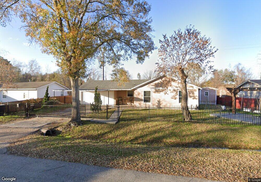
1243 Castledale Dr Houston, TX 77037
Northside-Northline NeighborhoodEstimated Value: $151,000 - $187,845
3
Beds
2
Baths
1,020
Sq Ft
$168/Sq Ft
Est. Value
About This Home
This home is located at 1243 Castledale Dr, Houston, TX 77037 and is currently estimated at $171,211, approximately $167 per square foot. 1243 Castledale Dr is a home located in Harris County with nearby schools including Barrick Elementary School, Patrick Henry Middle School, and Sam Houston Math, Science & Technology Center.
Ownership History
Date
Name
Owned For
Owner Type
Purchase Details
Closed on
Jan 8, 2010
Sold by
Sheffield Vivian C
Bought by
Bravo Ignacio A and Madrigal Claudia
Current Estimated Value
Home Financials for this Owner
Home Financials are based on the most recent Mortgage that was taken out on this home.
Original Mortgage
$5,000
Outstanding Balance
$3,263
Interest Rate
4.83%
Mortgage Type
Unknown
Estimated Equity
$167,948
Create a Home Valuation Report for This Property
The Home Valuation Report is an in-depth analysis detailing your home's value as well as a comparison with similar homes in the area
Home Values in the Area
Average Home Value in this Area
Purchase History
| Date | Buyer | Sale Price | Title Company |
|---|---|---|---|
| Bravo Ignacio A | -- | Platinum Title Partners |
Source: Public Records
Mortgage History
| Date | Status | Borrower | Loan Amount |
|---|---|---|---|
| Open | Bravo Ignacio A | $5,000 | |
| Open | Bravo Ignacio A | $30,000 |
Source: Public Records
Tax History Compared to Growth
Tax History
| Year | Tax Paid | Tax Assessment Tax Assessment Total Assessment is a certain percentage of the fair market value that is determined by local assessors to be the total taxable value of land and additions on the property. | Land | Improvement |
|---|---|---|---|---|
| 2025 | $1,261 | $135,565 | $40,653 | $94,912 |
| 2024 | $1,261 | $128,783 | $40,653 | $88,130 |
| 2023 | $1,261 | $145,789 | $40,653 | $105,136 |
| 2022 | $2,311 | $120,288 | $26,513 | $93,775 |
| 2021 | $2,224 | $101,746 | $26,513 | $75,233 |
| 2020 | $2,101 | $94,190 | $26,513 | $67,677 |
| 2019 | $1,996 | $81,342 | $21,210 | $60,132 |
| 2018 | $1,157 | $71,698 | $21,210 | $50,488 |
| 2017 | $1,743 | $71,698 | $21,210 | $50,488 |
| 2016 | $1,585 | $68,583 | $21,210 | $47,373 |
| 2015 | $998 | $56,983 | $21,210 | $35,773 |
| 2014 | $998 | $56,983 | $21,210 | $35,773 |
Source: Public Records
Map
Nearby Homes
- 12806 Bauman Rd
- 1450 Mesquite St
- 1449 Mesquite St
- 1122 Havner Ln
- 11110 E Hardy Rd
- 931 Mitchell Rd
- 1508 Hopper Rd Unit 1
- 12969 W Hardy Rd
- 1703 & 0 Sunny Dr
- 13610 Carmilenda St
- 1925 Sunny Dr
- 28351 W Hardy Rd
- 511 Gulf Bank Rd Unit 5
- 1802 Kowis St
- 12002 Privada Saratoga Ave
- 1930 Cromwell St
- 2131 Warwick Rd
- 2123 Warwick Rd
- 10022 E Hardy Rd
- 904 Hill Rd
- 1239 Castledale Dr
- 1247 Castledale Dr
- 1242 Castledale Dr
- 1238 Castledale Dr
- 12810 Cardiff Rd
- 1234 Castledale Dr
- 1227 Castledale Dr
- 1243 Hartwick Rd
- 12806 Cardiff Rd
- 1239 Hartwick Rd
- 1230 Castledale Dr
- 1235 Hartwick Rd
- 12802 Cardiff Rd
- 1223 Castledale Dr
- 1226 Castledale Dr
- 1231 Hartwick Rd
- 12734 Cardiff Rd
- 1227 Hartwick Rd
- 1222 Castledale Dr
- 1242 Hartwick Rd