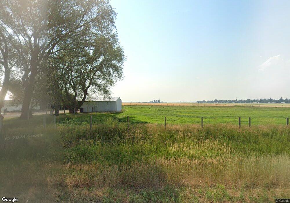
1243 Highway 32 Ashton, ID 83420
Estimated Value: $342,469 - $537,000
3
Beds
1
Bath
1,560
Sq Ft
$260/Sq Ft
Est. Value
About This Home
This home is located at 1243 Highway 32, Ashton, ID 83420 and is currently estimated at $405,367, approximately $259 per square foot. 1243 Highway 32 is a home located in Fremont County with nearby schools including Ashton Elementary School and North Fremont Junior/Senior High School.
Ownership History
Date
Name
Owned For
Owner Type
Purchase Details
Closed on
Jun 20, 2007
Sold by
Sheldon Linda
Bought by
Harrigfeld Matthew J
Current Estimated Value
Home Financials for this Owner
Home Financials are based on the most recent Mortgage that was taken out on this home.
Original Mortgage
$88,000
Outstanding Balance
$53,759
Interest Rate
6.16%
Mortgage Type
New Conventional
Estimated Equity
$351,608
Create a Home Valuation Report for This Property
The Home Valuation Report is an in-depth analysis detailing your home's value as well as a comparison with similar homes in the area
Home Values in the Area
Average Home Value in this Area
Purchase History
| Date | Buyer | Sale Price | Title Company |
|---|---|---|---|
| Harrigfeld Matthew J | -- | -- |
Source: Public Records
Mortgage History
| Date | Status | Borrower | Loan Amount |
|---|---|---|---|
| Open | Harrigfeld Matthew J | $88,000 |
Source: Public Records
Tax History Compared to Growth
Tax History
| Year | Tax Paid | Tax Assessment Tax Assessment Total Assessment is a certain percentage of the fair market value that is determined by local assessors to be the total taxable value of land and additions on the property. | Land | Improvement |
|---|---|---|---|---|
| 2025 | $718 | $149,066 | $81,449 | $67,617 |
| 2024 | $718 | $146,812 | $81,449 | $65,363 |
| 2023 | $691 | $146,812 | $81,449 | $65,363 |
| 2022 | $869 | $117,063 | $71,449 | $45,614 |
| 2021 | $829 | $83,196 | $52,836 | $30,360 |
| 2020 | $770 | $70,367 | $52,836 | $17,531 |
| 2019 | $713 | $64,312 | $45,781 | $18,531 |
| 2018 | $739 | $63,756 | $45,781 | $17,975 |
| 2017 | $8 | $61,548 | $44,408 | $17,140 |
| 2016 | $822 | $61,548 | $44,408 | $17,140 |
| 2015 | $812 | $97,669 | $0 | $0 |
| 2014 | $625 | $61,548 | $0 | $0 |
| 2013 | $625 | $61,548 | $0 | $0 |
Source: Public Records
Map
Nearby Homes
- 268 10th St
- LOTS 1-3 E 1300 Rd N
- 641 Fremont St
- 885 Maple St
- 511 Id-47
- 1189 N Sunflower Ln
- 417 Main St
- 3660 E 1312 N
- TBD Annies Landing
- L2 BLK 1 E 1300 Rd N
- 1331 N 3687 E
- 540 N 4th St Unit 4
- 540 N 4th St Unit 2
- 540 N 4th St Unit 3
- 3706 E 1300 Rd N
- 137 Spruce St
- 3660 E 1100 N
- 1413 U S 20
- 3656 Fishermans Dr
- 3887 Schaefer Ln
- TBD E 1250 N
- 600 N 3600 E
- TBD N 3600 E
- 1239 Highway 32
- 1276 Highway 32
- 1012 Highland St
- TBD W Highland St
- 1041 Highland St
- 1011 Highland St
- 943 N Hwy 32
- 99999 Highway 32
- 551 N-1 Highway 32
- 4.92 AC Highway 32 Unit L3
- 21.4 AC Highway 32 Unit 3Ls
- 11.7 AC Highway 32 Unit 1L
- 4.76 AC Highway 32 Unit 2L
- 958 Highland St
- 1032 Idaho St
- 951 Highland St
- 977 Highland St
