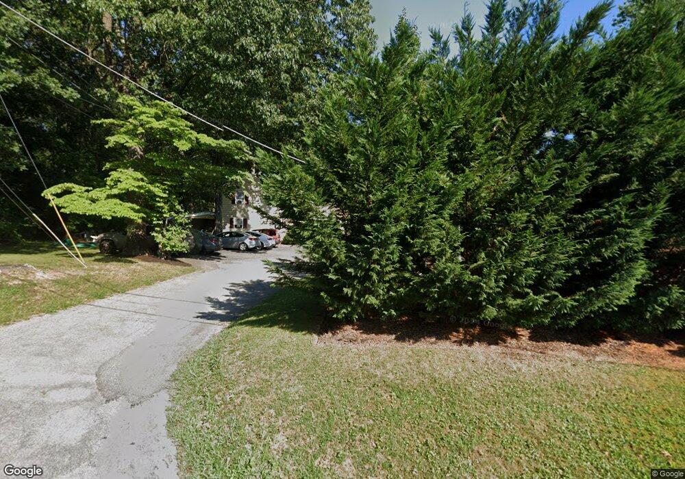
1243 Hoff Rd Hanover, PA 17331
Estimated Value: $256,852 - $348,000
3
Beds
2
Baths
1,740
Sq Ft
$179/Sq Ft
Est. Value
About This Home
This home is located at 1243 Hoff Rd, Hanover, PA 17331 and is currently estimated at $311,213, approximately $178 per square foot. 1243 Hoff Rd is a home located in York County with nearby schools including South Western Senior High School and Hope Christian School Of Hanover.
Ownership History
Date
Name
Owned For
Owner Type
Purchase Details
Closed on
Apr 25, 2017
Sold by
Trusted Property Group Llc
Bought by
Comstock Otis K and Comstock Mary E
Current Estimated Value
Home Financials for this Owner
Home Financials are based on the most recent Mortgage that was taken out on this home.
Original Mortgage
$211,105
Outstanding Balance
$176,514
Interest Rate
4.3%
Mortgage Type
FHA
Estimated Equity
$134,699
Purchase Details
Closed on
Feb 5, 2014
Sold by
Us Bank Na
Bought by
Trusted Property Group Llc
Home Financials for this Owner
Home Financials are based on the most recent Mortgage that was taken out on this home.
Original Mortgage
$800,000
Interest Rate
4.47%
Mortgage Type
Future Advance Clause Open End Mortgage
Purchase Details
Closed on
Sep 9, 2013
Sold by
Comstock Mark and Comstock Otis K
Bought by
Us Bank Na
Create a Home Valuation Report for This Property
The Home Valuation Report is an in-depth analysis detailing your home's value as well as a comparison with similar homes in the area
Home Values in the Area
Average Home Value in this Area
Purchase History
| Date | Buyer | Sale Price | Title Company |
|---|---|---|---|
| Comstock Otis K | $215,000 | None Available | |
| Trusted Property Group Llc | $75,000 | None Available | |
| Us Bank Na | $2,352 | None Available |
Source: Public Records
Mortgage History
| Date | Status | Borrower | Loan Amount |
|---|---|---|---|
| Open | Comstock Otis K | $211,105 | |
| Previous Owner | Trusted Property Group Llc | $800,000 |
Source: Public Records
Tax History
| Year | Tax Paid | Tax Assessment Tax Assessment Total Assessment is a certain percentage of the fair market value that is determined by local assessors to be the total taxable value of land and additions on the property. | Land | Improvement |
|---|---|---|---|---|
| 2025 | $4,605 | $136,640 | $37,240 | $99,400 |
| 2024 | $4,605 | $136,640 | $37,240 | $99,400 |
| 2023 | $4,523 | $136,640 | $37,240 | $99,400 |
| 2022 | $4,426 | $136,640 | $37,240 | $99,400 |
| 2021 | $4,184 | $136,640 | $37,240 | $99,400 |
| 2020 | $4,184 | $136,640 | $37,240 | $99,400 |
| 2019 | $4,103 | $136,640 | $37,240 | $99,400 |
| 2018 | $4,049 | $136,640 | $37,240 | $99,400 |
| 2017 | $3,956 | $136,640 | $37,240 | $99,400 |
| 2016 | $0 | $136,640 | $37,240 | $99,400 |
| 2015 | -- | $136,640 | $37,240 | $99,400 |
| 2014 | -- | $136,640 | $37,240 | $99,400 |
Source: Public Records
Map
Nearby Homes
- 1975 Smith Station Rd
- 70 Laurel Dr
- 1068 Grandview Rd
- 206 Hall Dr
- 116 Ruel Ave
- 29 Meadowview Dr
- 225 Bragg Cir
- 101 Overlook Dr
- 103 Overlook Dr
- 84 Lakeview Cir
- 1753 Black Rock Rd
- 150 Mumma Ave
- 517 Charles Ave
- 421 Charles Ave
- 819 8191/2 York St
- 48 Colonial Dr
- 44 Colonial Dr
- 320 Dubs Church Rd
- 139 Mussetta St
- 120 Charles Ave
Your Personal Tour Guide
Ask me questions while you tour the home.