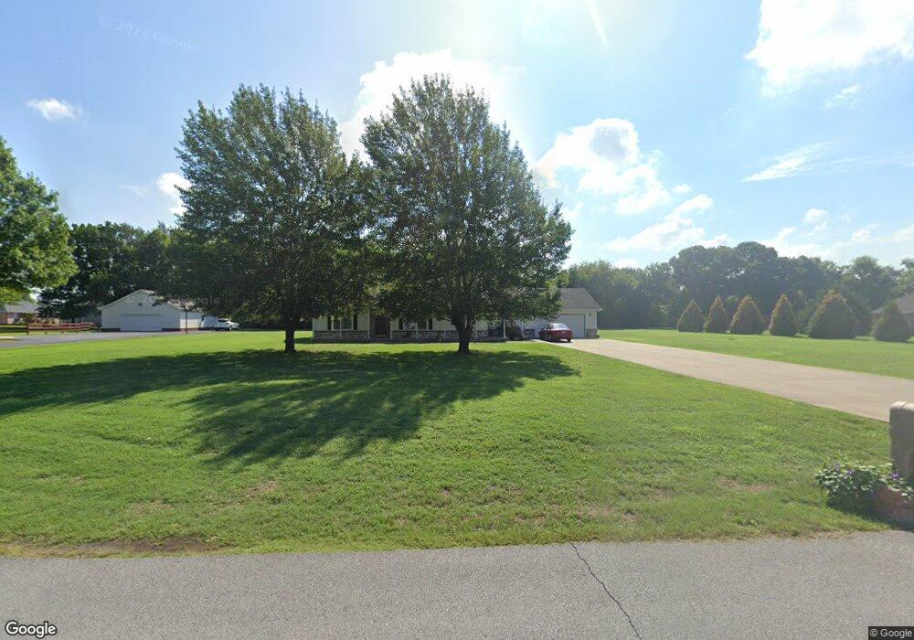
12430 Koop Deville Gentry, AR 72734
Estimated Value: $249,000 - $313,000
Studio
2
Baths
1,629
Sq Ft
$174/Sq Ft
Est. Value
About This Home
This home is located at 12430 Koop Deville, Gentry, AR 72734 and is currently estimated at $283,050, approximately $173 per square foot. 12430 Koop Deville is a home located in Benton County with nearby schools including Gentry Primary School, Gentry Intermediate School, and Gentry Middle School.
Ownership History
Date
Name
Owned For
Owner Type
Purchase Details
Closed on
Mar 19, 2021
Sold by
Herr Terry Joeline and Herr Richard
Bought by
Herr Terry Joeline and Herr Richard
Current Estimated Value
Home Financials for this Owner
Home Financials are based on the most recent Mortgage that was taken out on this home.
Original Mortgage
$105,500
Interest Rate
2.9%
Mortgage Type
New Conventional
Purchase Details
Closed on
Jun 3, 2005
Sold by
Herr Richard and Herr Terry Jolene
Bought by
Herr Terry Jolene
Purchase Details
Closed on
Mar 26, 2002
Bought by
Herr
Purchase Details
Closed on
Mar 15, 2002
Bought by
Babb
Purchase Details
Closed on
Dec 7, 1995
Bought by
Babb
Create a Home Valuation Report for This Property
The Home Valuation Report is an in-depth analysis detailing your home's value as well as a comparison with similar homes in the area
Home Values in the Area
Average Home Value in this Area
Purchase History
| Date | Buyer | Sale Price | Title Company |
|---|---|---|---|
| Herr Terry Joeline | -- | None Listed On Document | |
| Herr Terry Jolene | -- | Bronson Title Services Inc | |
| Herr | -- | -- | |
| Babb | -- | -- | |
| Babb | $16,000 | -- |
Source: Public Records
Mortgage History
| Date | Status | Borrower | Loan Amount |
|---|---|---|---|
| Previous Owner | Herr Terry Joeline | $105,500 |
Source: Public Records
Tax History
| Year | Tax Paid | Tax Assessment Tax Assessment Total Assessment is a certain percentage of the fair market value that is determined by local assessors to be the total taxable value of land and additions on the property. | Land | Improvement |
|---|---|---|---|---|
| 2025 | $2,396 | $62,413 | $7,630 | $54,783 |
| 2024 | $2,173 | $62,413 | $7,630 | $54,783 |
| 2023 | $1,975 | $40,480 | $5,450 | $35,030 |
| 2022 | $1,922 | $40,480 | $5,450 | $35,030 |
| 2021 | $1,758 | $40,480 | $5,450 | $35,030 |
| 2020 | $1,604 | $27,470 | $1,960 | $25,510 |
| 2019 | $1,604 | $27,470 | $1,960 | $25,510 |
| 2018 | $1,604 | $27,470 | $1,960 | $25,510 |
| 2017 | $1,508 | $27,470 | $1,960 | $25,510 |
| 2016 | $1,508 | $27,470 | $1,960 | $25,510 |
| 2015 | $1,291 | $23,340 | $2,200 | $21,140 |
| 2014 | $1,291 | $23,340 | $2,200 | $21,140 |
Source: Public Records
Map
Nearby Homes
- 448 Wilson Dr
- 237 Ramsey St
- 12535 Collins Rd
- 343 Melissa Ln
- 1315 Valley Dr
- 1313 Valley Dr
- 900 Churchill Ct
- 610 Avalon Dr
- 12932 Ozark Valley Ln
- 10879 Arkansas 59
- 501 S Smith Ave
- 399 Pioneer Ln
- 545 Red Oak St
- 526 White Oak St
- 2100 Taylor Orchard Rd
- 406 W 1st St
- 19800 Dawn Hill Rd E
- 305 Pin Oak St
- 113 S Rust Ave
- 300 Post Oak Ave
- 12470 Koop de Ville Rd
- 12400 Koop de Ville Rd
- 12470 Koop Deville
- 12400 Koop Deville
- 12415 Koop Deville
- 437 Wilson Dr
- 425 Wilson Dr
- 12510 Koop Deville
- 449 Wilson Dr
- 12510 Koop de Ville Rd
- 403 Wilson Dr
- 0 Tbd Ave Unit 1222574
- 0 Tbd Ave Unit 1222572
- 0 Tbd Ave Unit 1222571
- 0 Tbd Ave Unit 1222567
- 0 Tbd Ave Unit 1222027
- 0 Tbd Ave Unit 1221992
- 0 Tbd Ave Unit 1221990
- 12501 Koop Deville
- 0 Koop de Ville Rd
Your Personal Tour Guide
Ask me questions while you tour the home.