12430 Smoke Bluffs Rd Peyton, CO 80831
Estimated Value: $657,834 - $756,000
5
Beds
3
Baths
1,625
Sq Ft
$447/Sq Ft
Est. Value
About This Home
This home is located at 12430 Smoke Bluffs Rd, Peyton, CO 80831 and is currently estimated at $725,959, approximately $446 per square foot. 12430 Smoke Bluffs Rd is a home with nearby schools including Meridian Ranch International School, Falcon Middle School, and Falcon High School.
Ownership History
Date
Name
Owned For
Owner Type
Purchase Details
Closed on
Sep 8, 2016
Sold by
Helwig Kent R and Helwig Kay
Bought by
Vanni Sandra Lynne and Bolitho Michelle Lynne
Current Estimated Value
Purchase Details
Closed on
Aug 1, 2014
Sold by
Farmer Jeremiah and Farmer Amy L
Bought by
Helwig Kent R and Helwig Kay
Home Financials for this Owner
Home Financials are based on the most recent Mortgage that was taken out on this home.
Original Mortgage
$304,000
Interest Rate
4.2%
Mortgage Type
New Conventional
Purchase Details
Closed on
Jun 20, 2012
Sold by
Elite Properties Of America Inc
Bought by
Farmer Jeremiah and Farmer Amy L
Home Financials for this Owner
Home Financials are based on the most recent Mortgage that was taken out on this home.
Original Mortgage
$282,090
Interest Rate
3.83%
Mortgage Type
VA
Purchase Details
Closed on
Feb 24, 2012
Sold by
Antlers Ridge Holdings Llc
Bought by
Elite Properties Of America Inc
Create a Home Valuation Report for This Property
The Home Valuation Report is an in-depth analysis detailing your home's value as well as a comparison with similar homes in the area
Home Values in the Area
Average Home Value in this Area
Purchase History
| Date | Buyer | Sale Price | Title Company |
|---|---|---|---|
| Vanni Sandra Lynne | $375,000 | None Available | |
| Helwig Kent R | $320,000 | Empire Title Co Springs Llc | |
| Farmer Jeremiah | $276,153 | Cb Title | |
| Elite Properties Of America Inc | $45,000 | Land Title Guarantee Company |
Source: Public Records
Mortgage History
| Date | Status | Borrower | Loan Amount |
|---|---|---|---|
| Previous Owner | Helwig Kent R | $304,000 | |
| Previous Owner | Farmer Jeremiah | $282,090 |
Source: Public Records
Tax History Compared to Growth
Tax History
| Year | Tax Paid | Tax Assessment Tax Assessment Total Assessment is a certain percentage of the fair market value that is determined by local assessors to be the total taxable value of land and additions on the property. | Land | Improvement |
|---|---|---|---|---|
| 2025 | $3,073 | $48,000 | -- | -- |
| 2024 | $2,960 | $46,860 | $8,340 | $38,520 |
| 2023 | $2,960 | $46,860 | $8,340 | $38,520 |
| 2022 | $2,249 | $32,390 | $6,410 | $25,980 |
| 2021 | $2,339 | $33,330 | $6,600 | $26,730 |
| 2020 | $2,204 | $31,260 | $5,900 | $25,360 |
| 2019 | $2,184 | $31,260 | $5,900 | $25,360 |
| 2018 | $1,735 | $24,410 | $5,510 | $18,900 |
| 2017 | $1,589 | $24,410 | $5,510 | $18,900 |
| 2016 | $1,323 | $20,060 | $5,670 | $14,390 |
| 2015 | $1,325 | $20,060 | $5,670 | $14,390 |
| 2014 | $1,227 | $18,240 | $5,160 | $13,080 |
Source: Public Records
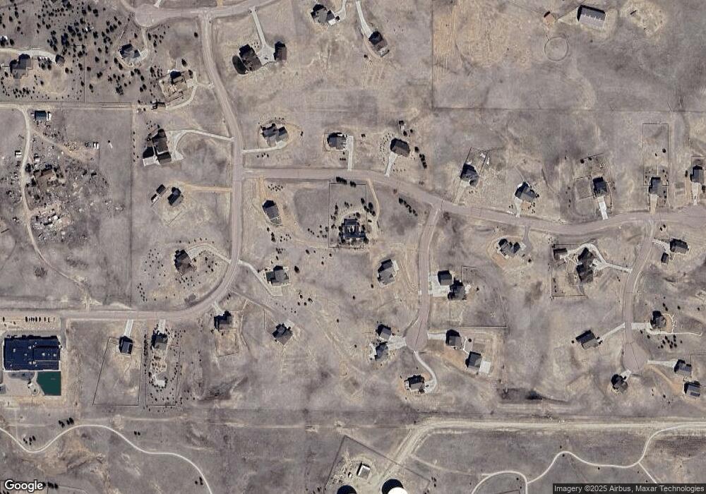
Map
Nearby Homes
- 12190 Smoke Bluffs Rd
- 11504 Blackcomb Trail
- 12071 Smokes Bluffs Rd
- 12010 S Conestoga Trail
- 12020 S Conestoga Trail
- The Peak Plan at Latigo
- The Brooklyn Plan at Latigo
- The Grand Royal Plan at Latigo
- 11960 Conestoga Trail S
- 11133 Lobo Peak Dr
- 11935 Conestoga Trail S
- 12045 S Conestoga Trail
- 11134 Lobo Peak Dr
- 12150 Fox Brush Dr
- 12695 Black Hills Dr
- 12275 Oregon Wagon Trail
- 11333 Sage Mesa Way
- 11824 Black Hills Dr
- 11825 Black Hills Dr
- 12804 Clark Peak Ct
- 12370 Smoke Bluffs Rd
- 11625 Blackcomb Trail
- 12310 Smoke Bluffs Rd
- 12065 N Meridian Rd
- 11624 Blackcomb Trail
- 11565 Blackcomb Trail
- 12250 Smoke Bluffs Rd
- 12251 Smoke Bluffs Rd
- 11564 Blackcomb Trail
- 11505 Blackcomb Trail
- 12085 N Meridian Rd
- 12045 N Meridian Rd
- 11627 Denali Trail
- 12130 Smoke Bluffs Rd
- 11567 Denali Trail
- 11686 Denali Trail
- 11807 White Antlers Trail
- 11626 Denali Trail
- 12071 Smoke Bluffs Rd
- 11867 White Antler Trail