12431 State Highway 32 Suring, WI 54174
Estimated Value: $244,000 - $292,000
--
Bed
--
Bath
--
Sq Ft
0.59
Acres
About This Home
This home is located at 12431 State Highway 32, Suring, WI 54174 and is currently estimated at $258,123. 12431 State Highway 32 is a home located in Oconto County with nearby schools including Suring Elementary School and Suring High School.
Ownership History
Date
Name
Owned For
Owner Type
Purchase Details
Closed on
Jun 16, 2023
Sold by
Burton Daniel M
Bought by
Hagmann Jacqueline A
Current Estimated Value
Purchase Details
Closed on
Jan 15, 2020
Sold by
Burton Daniel M
Bought by
Burton Daniel M
Home Financials for this Owner
Home Financials are based on the most recent Mortgage that was taken out on this home.
Interest Rate
3.65%
Purchase Details
Closed on
Jan 29, 2016
Sold by
Teske Mitchell P. Mitchell P. and Teske Mitchell P
Bought by
Gasman Revocable Trust Dated May 30, 199
Purchase Details
Closed on
Dec 7, 2012
Sold by
Gasman Revocable Trust Dated May 30 199
Bought by
Grant Eric and Grant Leah
Create a Home Valuation Report for This Property
The Home Valuation Report is an in-depth analysis detailing your home's value as well as a comparison with similar homes in the area
Home Values in the Area
Average Home Value in this Area
Purchase History
| Date | Buyer | Sale Price | Title Company |
|---|---|---|---|
| Hagmann Jacqueline A | $81,500 | Attorney John R. Petitjean | |
| Burton Daniel M | -- | -- | |
| Gasman Revocable Trust Dated May 30, 199 | $93,000 | -- | |
| Grant Eric | $84,000 | -- |
Source: Public Records
Mortgage History
| Date | Status | Borrower | Loan Amount |
|---|---|---|---|
| Previous Owner | Burton Daniel M | -- |
Source: Public Records
Tax History Compared to Growth
Tax History
| Year | Tax Paid | Tax Assessment Tax Assessment Total Assessment is a certain percentage of the fair market value that is determined by local assessors to be the total taxable value of land and additions on the property. | Land | Improvement |
|---|---|---|---|---|
| 2024 | $2,157 | $239,600 | $70,500 | $169,100 |
| 2023 | $1,990 | $138,400 | $57,800 | $80,600 |
| 2022 | $2,014 | $138,400 | $57,800 | $80,600 |
| 2021 | $2,005 | $138,400 | $57,800 | $80,600 |
| 2020 | $1,571 | $106,400 | $57,800 | $48,600 |
| 2019 | $1,524 | $106,400 | $57,800 | $48,600 |
| 2018 | $1,459 | $106,400 | $57,800 | $48,600 |
| 2017 | $1,473 | $106,400 | $57,800 | $48,600 |
| 2016 | $1,451 | $106,400 | $57,800 | $48,600 |
| 2015 | $1,460 | $106,400 | $57,800 | $48,600 |
| 2013 | $1,450 | $105,400 | $57,800 | $47,600 |
Source: Public Records
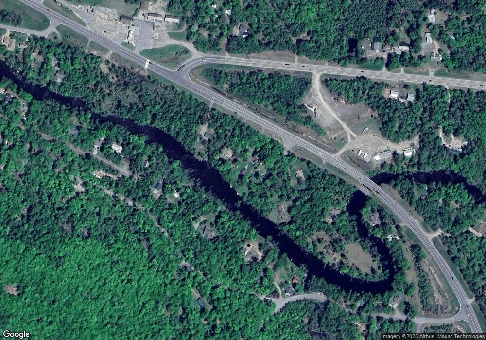
Map
Nearby Homes
- 12409 Poquette Ln
- 13246 Hillside Dr
- 12277 Leos Rd
- 12535 Belvadeer Ln
- 12244 Leos Rd
- 12525 Knollwood Ln Unit 12
- 13763 Lake Shore Ln
- 13344 Wisconsin 32
- 14754 N McComb Lake Ln
- 10869 Randall Ln
- 14353 County Hwy W
- Lt9-12 Ridge St
- 0 Heise Rd
- 14263 Rock Hill Ln
- 10325 Peshtigo Brook Rd
- 13020 Groh Ln
- 10774 van Beek Ln
- 14980 Loon Rapids Rd
- W606 Joe Johnson Rd
- 15306 County Road W -
- 12431 State Highway 32
- 12429 Poquette Ln
- 12441 State Highway 32
- 12447 State Highway 32
- 12447 Wisconsin 32
- 12415 Poquette Ln
- 12421 Poquette Ln
- 12447 State Hwy 32
- 12449 State Highway 32
- 13306 Hillside Dr
- 13306 Hillside Dr
- 13320 Hillside Dr
- 12401 Poquette Ln
- 13280 Hillside Dr
- 12396 Hwy 32
- 13324 Hillside Dr
- 13276 Hillside Dr
- 13340 Woodland Ln
- 13270 Hillside Dr
- 13344 Woodland Ln