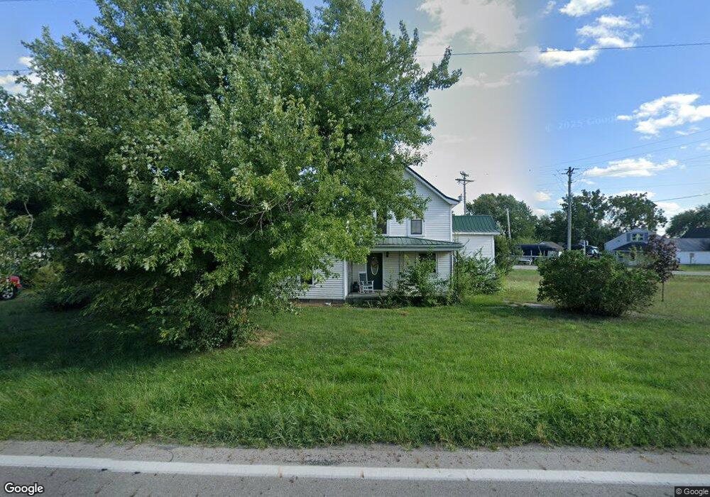
12433 State Route 316 Williamsport, OH 43164
Estimated Value: $104,000 - $233,000
2
Beds
1
Bath
1,620
Sq Ft
$103/Sq Ft
Est. Value
About This Home
This home is located at 12433 State Route 316, Williamsport, OH 43164 and is currently estimated at $166,167, approximately $102 per square foot. 12433 State Route 316 is a home located in Pickaway County with nearby schools including Westfall Elementary School, Westfall Middle School, and Westfall High School.
Ownership History
Date
Name
Owned For
Owner Type
Purchase Details
Closed on
Dec 19, 2008
Sold by
Wells Fargo Bank Na
Bought by
Fifer Melinda
Current Estimated Value
Purchase Details
Closed on
May 6, 2008
Sold by
Muncie Kimberly and Muncie Richard
Bought by
Wells Fargo Bank Na
Purchase Details
Closed on
Aug 30, 2006
Sold by
Steward Kevin R and Steward Mary E
Bought by
Muncie Richard and Muncie Kimberly
Home Financials for this Owner
Home Financials are based on the most recent Mortgage that was taken out on this home.
Original Mortgage
$80,000
Interest Rate
6.7%
Mortgage Type
Purchase Money Mortgage
Purchase Details
Closed on
Jul 9, 2002
Sold by
Reed Charles
Bought by
Steward Kevin R and Steward Mary E
Home Financials for this Owner
Home Financials are based on the most recent Mortgage that was taken out on this home.
Original Mortgage
$35,000
Interest Rate
6.91%
Mortgage Type
New Conventional
Create a Home Valuation Report for This Property
The Home Valuation Report is an in-depth analysis detailing your home's value as well as a comparison with similar homes in the area
Home Values in the Area
Average Home Value in this Area
Purchase History
| Date | Buyer | Sale Price | Title Company |
|---|---|---|---|
| Fifer Melinda | $17,000 | None Available | |
| Wells Fargo Bank Na | $43,334 | None Available | |
| Muncie Richard | $80,000 | Chicago Title | |
| Steward Kevin R | $25,000 | -- |
Source: Public Records
Mortgage History
| Date | Status | Borrower | Loan Amount |
|---|---|---|---|
| Previous Owner | Muncie Richard | $80,000 | |
| Previous Owner | Steward Kevin R | $35,000 |
Source: Public Records
Tax History Compared to Growth
Tax History
| Year | Tax Paid | Tax Assessment Tax Assessment Total Assessment is a certain percentage of the fair market value that is determined by local assessors to be the total taxable value of land and additions on the property. | Land | Improvement |
|---|---|---|---|---|
| 2024 | -- | $34,650 | $7,350 | $27,300 |
| 2023 | $1,184 | $34,650 | $7,350 | $27,300 |
| 2022 | $821 | $21,730 | $5,830 | $15,900 |
| 2021 | $830 | $21,730 | $5,830 | $15,900 |
| 2020 | $831 | $21,730 | $5,830 | $15,900 |
| 2019 | $0 | $17,990 | $5,400 | $12,590 |
| 2018 | $677 | $17,990 | $5,400 | $12,590 |
| 2017 | $1,077 | $17,990 | $5,400 | $12,590 |
| 2016 | $751 | $19,540 | $4,970 | $14,570 |
| 2015 | $766 | $19,540 | $4,970 | $14,570 |
| 2014 | $774 | $19,540 | $4,970 | $14,570 |
| 2013 | $413 | $9,650 | $4,970 | $4,680 |
Source: Public Records
Map
Nearby Homes
- 12343 State Route 316
- 11821 State Route 56 W
- 0 Yankeetown Pike Unit 225019293
- 11744 Yankeetown Pike
- 15841 London Rd
- 21651 Hannawalt Rd
- 9141 Water St
- 8990 Water St
- 15561 Blain Rd
- 16270 Cook Yankeetown Rd NE
- 8187 Ohio 316
- 8713 State Route 207
- 500 Wingate Place N
- 16185 State Route 207
- 7700 Scioto-Darby Rd
- 67 W Columbus St
- 230 W Columbus St
- 223 W Main St
- 233 W Main St
- 60 N London St
- 12460 State Route 56 W
- 12407 State Route 316
- 12442 State Route 316
- 12471 State Route 56 W
- 12459 Ohio 56
- 12481 State Route 56 W
- 12424 State Route 56 W
- 12447 State Route 56 W
- 18270 Five Points Pike
- 12418 State Route 316
- 12437 State Route 56 W
- 12393 State Route 316
- 18270 Five Points Pike
- 0 Five Points Pike Unit LOT 2 2526391
- 0 Five Points Pike Unit 2603676
- 0 Five Points Pike Unit Lot 3 2538896
- 0 Five Points Pike Unit LOT 1 2526389
- 0 Five Points Pike
- 12379 Ohio 316
- 18280 Five Points Pike