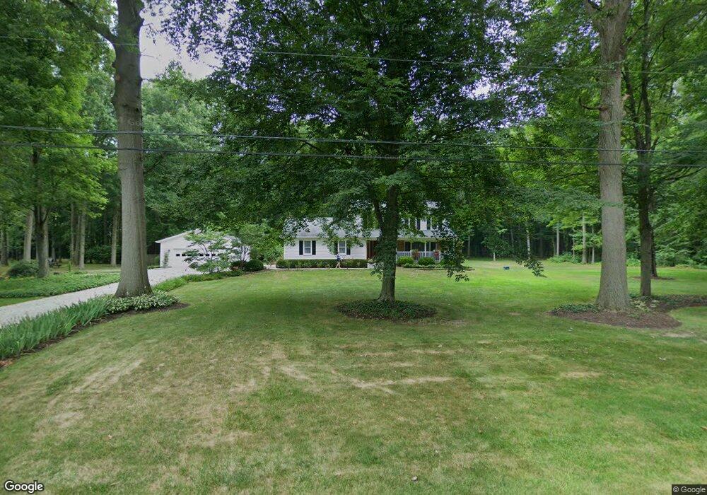
12435 Beula St NE Alliance, OH 44601
Estimated Value: $265,000 - $325,000
4
Beds
3
Baths
1,933
Sq Ft
$154/Sq Ft
Est. Value
About This Home
This home is located at 12435 Beula St NE, Alliance, OH 44601 and is currently estimated at $297,177, approximately $153 per square foot. 12435 Beula St NE is a home located in Stark County with nearby schools including Marlington High School and Regina Coeli/St Joseph School.
Ownership History
Date
Name
Owned For
Owner Type
Purchase Details
Closed on
Oct 13, 1994
Sold by
Buckwalter David R
Bought by
Huwig Vincent R and Huwig Mary
Current Estimated Value
Home Financials for this Owner
Home Financials are based on the most recent Mortgage that was taken out on this home.
Original Mortgage
$105,000
Interest Rate
8.55%
Mortgage Type
New Conventional
Create a Home Valuation Report for This Property
The Home Valuation Report is an in-depth analysis detailing your home's value as well as a comparison with similar homes in the area
Home Values in the Area
Average Home Value in this Area
Purchase History
| Date | Buyer | Sale Price | Title Company |
|---|---|---|---|
| Huwig Vincent R | $123,000 | -- |
Source: Public Records
Mortgage History
| Date | Status | Borrower | Loan Amount |
|---|---|---|---|
| Closed | Huwig Vincent R | $105,000 |
Source: Public Records
Tax History Compared to Growth
Tax History
| Year | Tax Paid | Tax Assessment Tax Assessment Total Assessment is a certain percentage of the fair market value that is determined by local assessors to be the total taxable value of land and additions on the property. | Land | Improvement |
|---|---|---|---|---|
| 2025 | -- | $92,960 | $23,380 | $69,580 |
| 2024 | -- | $92,960 | $23,380 | $69,580 |
| 2023 | $2,256 | $64,060 | $12,430 | $51,630 |
| 2022 | $1,132 | $64,060 | $12,430 | $51,630 |
| 2021 | $2,271 | $64,060 | $12,430 | $51,630 |
| 2020 | $2,177 | $54,710 | $10,710 | $44,000 |
| 2019 | $2,162 | $54,710 | $10,710 | $44,000 |
| 2018 | $2,165 | $54,710 | $10,710 | $44,000 |
| 2017 | $2,067 | $48,900 | $10,190 | $38,710 |
| 2016 | $1,945 | $45,990 | $8,470 | $37,520 |
| 2015 | $2,101 | $52,010 | $8,470 | $43,540 |
| 2014 | $1,918 | $43,370 | $7,070 | $36,300 |
| 2013 | $954 | $43,370 | $7,070 | $36,300 |
Source: Public Records
Map
Nearby Homes
- 10666 Wilma Ave NE
- 0 Meadow St NE
- 13334 Cindy St NE
- 12355 Edison St NE
- 11960 Freshley Ave NE
- 11480 Aebi Ave NE
- 13109 Edison St NE
- 12252 Snode St NE
- 12415 Snode St NE
- 0 W Main St Unit 5090123
- 1430 Westwood Ave
- 000 Klinger Ave
- 2081 Marwood Cir
- 0 Reeder Ave NE
- 14422 Sturbridge Rd NE
- 432 Johnson Ave
- 2377 Ansley St Unit 2377
- 0 Homestead Ave NE
- 000 Meadowbrook Ave
- 0 Meadowbrook Ave
- 12435 Beula St NE
- 10936 Dot Ave NE
- 10935 Barcus Ave NE
- 12415 Beula St NE
- 10920 Dot Ave NE
- 10921 Barcus Ave NE
- 12495 Beula St NE
- 12395 Beula St NE
- 10935 Dot Ave NE
- 10936 Barcus Ave NE
- 10905 Barcus Ave NE
- 12515 Beula St NE
- 10920 Barcus Ave NE
- 10905 Dot Ave NE
- 10890 Dot Ave NE
- 10891 Barcus Ave NE
- 10904 Barcus Ave NE
- 12535 Beula St NE
- 10891 Dot Ave NE
- 10870 Dot Ave NE