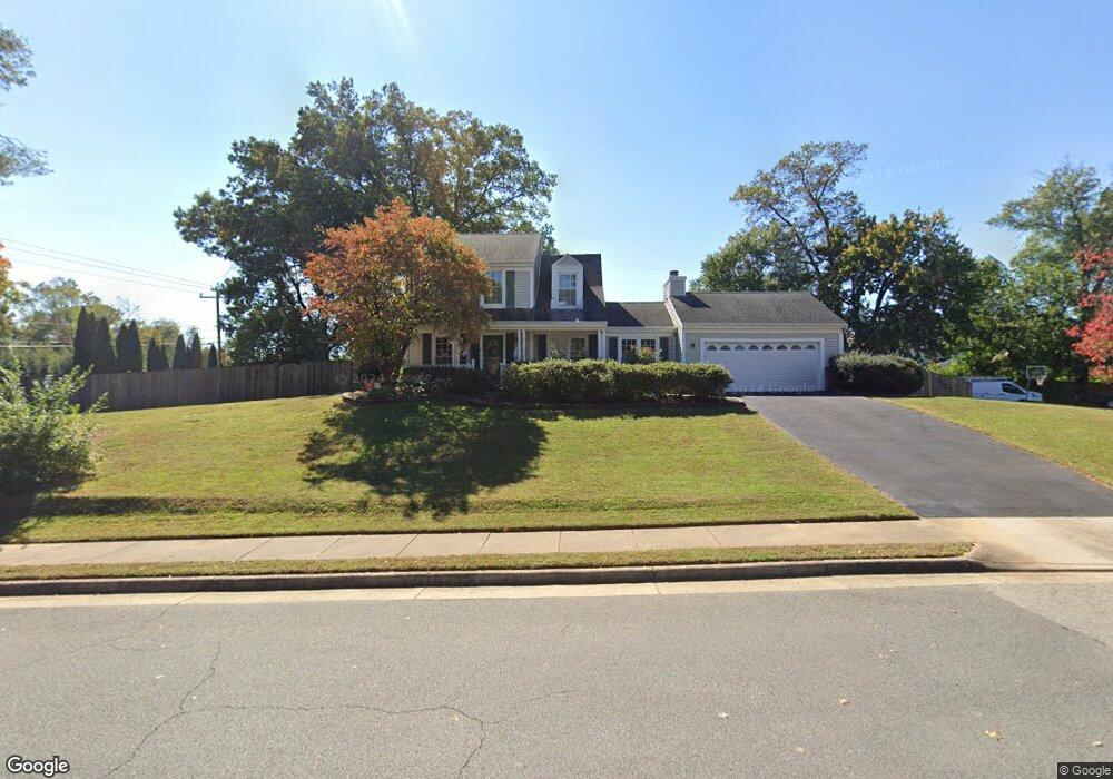
12437 Daniel Webster Dr Herndon, VA 20171
Oak Hill NeighborhoodEstimated Value: $850,746 - $891,000
4
Beds
4
Baths
1,742
Sq Ft
$497/Sq Ft
Est. Value
About This Home
This home is located at 12437 Daniel Webster Dr, Herndon, VA 20171 and is currently estimated at $865,249, approximately $496 per square foot. 12437 Daniel Webster Dr is a home located in Fairfax County with nearby schools including Fox Mill Elementary School, Rachel Carson Middle School, and South Lakes High School.
Ownership History
Date
Name
Owned For
Owner Type
Purchase Details
Closed on
Jun 1, 1998
Sold by
Franks Ronald F and Franks Deborah S
Bought by
Borojeni Majid and Borojeni Peggy
Current Estimated Value
Home Financials for this Owner
Home Financials are based on the most recent Mortgage that was taken out on this home.
Original Mortgage
$158,900
Outstanding Balance
$31,982
Interest Rate
7.12%
Mortgage Type
Stand Alone Second
Estimated Equity
$833,267
Create a Home Valuation Report for This Property
The Home Valuation Report is an in-depth analysis detailing your home's value as well as a comparison with similar homes in the area
Home Values in the Area
Average Home Value in this Area
Purchase History
| Date | Buyer | Sale Price | Title Company |
|---|---|---|---|
| Borojeni Majid | $227,000 | -- |
Source: Public Records
Mortgage History
| Date | Status | Borrower | Loan Amount |
|---|---|---|---|
| Open | Borojeni Majid | $158,900 |
Source: Public Records
Tax History Compared to Growth
Tax History
| Year | Tax Paid | Tax Assessment Tax Assessment Total Assessment is a certain percentage of the fair market value that is determined by local assessors to be the total taxable value of land and additions on the property. | Land | Improvement |
|---|---|---|---|---|
| 2021 | $7,373 | $628,290 | $247,000 | $381,290 |
| 2020 | $7,022 | $593,350 | $237,000 | $356,350 |
| 2019 | $6,585 | $556,380 | $217,000 | $339,380 |
| 2018 | $6,407 | $541,380 | $202,000 | $339,380 |
| 2017 | $6,285 | $541,380 | $202,000 | $339,380 |
| 2016 | $6,272 | $541,380 | $202,000 | $339,380 |
| 2015 | $6,042 | $541,380 | $202,000 | $339,380 |
| 2014 | $5,614 | $504,180 | $187,000 | $317,180 |
Source: Public Records
Map
Nearby Homes
- 2725 Robaleed Way
- 12574 Quincy Adams Ct
- 2700 Reign St
- 2704 Viking Dr
- 2420 Freetown Dr
- 12205 Thoroughbred Rd
- 12402 Brown Fox Way
- 2418 Ridgehampton Ct
- 11841 Shire Ct Unit 31D
- 11813 Triple Crown Rd
- 11837 Shire Ct Unit 22C
- 11824 Breton Ct Unit 24A
- 2619 New Banner Ln
- 2629 New Banner Ln
- 11813 Breton Ct Unit 1A
- 2273 Hunters Run Dr
- 2904 Blue Robin Ct
- 11808 Breton Ct Unit 12C
- 2203 Hunters Run Dr
- 2300 Horseferry Ct
- 2717 Robaleed Way
- 12433 Wendell Holmes Rd
- 2719 Robaleed Way
- 12438 Wendell Holmes Rd
- 12434 Wendell Holmes Rd
- 2601 Seskey Glen Ct
- 2713 Robaleed Way
- 12431 Wendell Holmes Rd
- 12432 Wendell Holmes Rd
- 12408 Wendell Holmes Rd
- 2600 Seskey Glen Ct
- 2721 Robaleed Way
- 2711 Robaleed Way
- 12410 Wendell Holmes Rd
- 12430 Wendell Holmes Rd
- 12429 Wendell Holmes Rd
- 2603 Seskey Glen Ct
- 2718 Robaleed Way
- 2714 Robaleed Way
- 12406 Wendell Holmes Rd