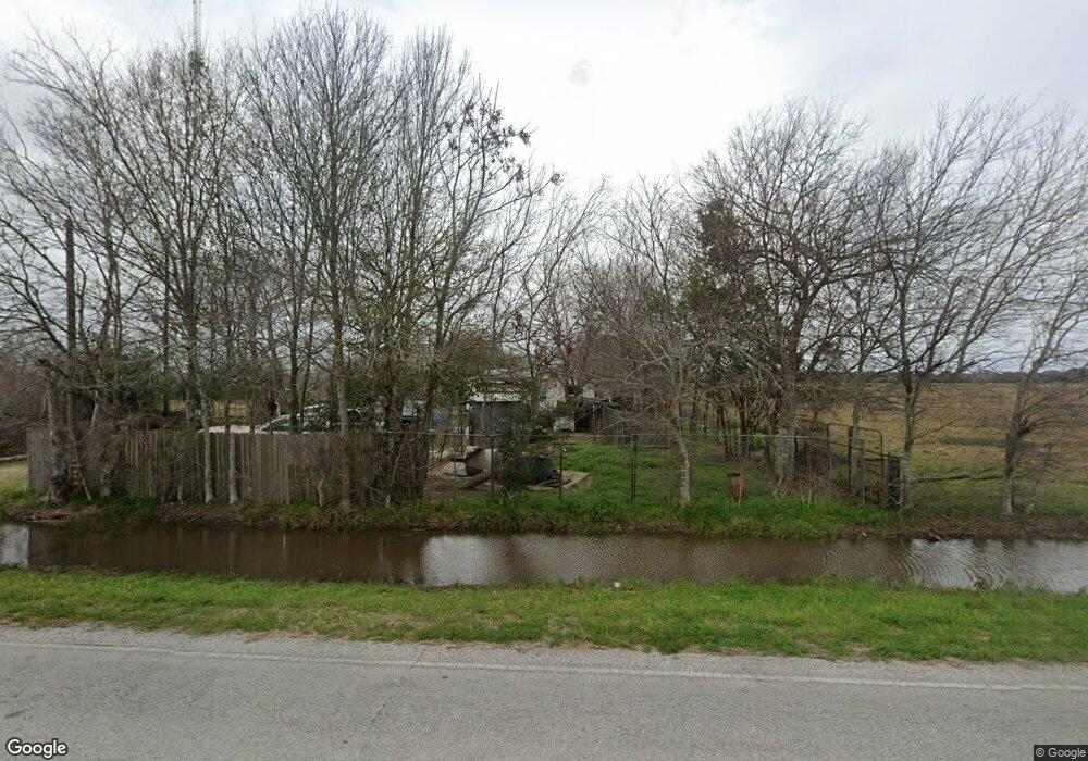
12438 Needville Fairchilds Rd Needville, TX 77461
Estimated Value: $261,351 - $521,000
--
Bed
--
Bath
1,792
Sq Ft
$205/Sq Ft
Est. Value
About This Home
This home is located at 12438 Needville Fairchilds Rd, Needville, TX 77461 and is currently estimated at $367,450, approximately $205 per square foot. 12438 Needville Fairchilds Rd is a home with nearby schools including Needville Elementary School, Needville Junior High School, and Needville Middle School.
Ownership History
Date
Name
Owned For
Owner Type
Purchase Details
Closed on
Aug 14, 2009
Sold by
Arlitt Laughton and William Karl Otto
Bought by
Smith John D
Current Estimated Value
Purchase Details
Closed on
Oct 12, 2006
Sold by
Sheppard Walter
Bought by
Fenske Michael W
Purchase Details
Closed on
Sep 15, 2006
Sold by
Fenske Michael Wayne
Bought by
Smith John D
Purchase Details
Closed on
Sep 5, 2006
Sold by
Fort Bend County
Bought by
Smith John D
Purchase Details
Closed on
Mar 29, 2006
Sold by
Sheppard Walter and Sheppard Codell
Bought by
County Of Fort Bend
Create a Home Valuation Report for This Property
The Home Valuation Report is an in-depth analysis detailing your home's value as well as a comparison with similar homes in the area
Home Values in the Area
Average Home Value in this Area
Purchase History
| Date | Buyer | Sale Price | Title Company |
|---|---|---|---|
| Smith John D | -- | -- | |
| Fenske Michael W | $6,600 | None Available | |
| Smith John D | -- | -- | |
| Smith John D | -- | -- | |
| County Of Fort Bend | -- | None Available |
Source: Public Records
Tax History Compared to Growth
Tax History
| Year | Tax Paid | Tax Assessment Tax Assessment Total Assessment is a certain percentage of the fair market value that is determined by local assessors to be the total taxable value of land and additions on the property. | Land | Improvement |
|---|---|---|---|---|
| 2025 | $194 | $104,990 | $90,000 | $69,860 |
| 2024 | $194 | $95,445 | $25,585 | $69,860 |
| 2023 | $170 | $86,768 | $22,558 | $64,210 |
| 2022 | $532 | $78,880 | $6,280 | $72,600 |
| 2021 | $1,359 | $71,710 | $35,000 | $36,710 |
| 2020 | $1,516 | $75,000 | $35,000 | $40,000 |
| 2019 | $1,522 | $70,910 | $35,000 | $35,910 |
| 2018 | $915 | $42,680 | $35,000 | $7,680 |
| 2017 | $706 | $32,840 | $26,000 | $6,840 |
| 2016 | $623 | $28,940 | $22,500 | $6,440 |
| 2015 | $379 | $17,300 | $12,700 | $4,600 |
| 2014 | $343 | $15,460 | $12,700 | $2,760 |
Source: Public Records
Map
Nearby Homes
- Creede Plan at Harvest Pointe
- San Marcos Plan at Harvest Pointe
- Aquila Plan at Harvest Pointe
- Boise Plan at Harvest Pointe
- Snowmass Plan at Harvest Pointe
- Rio Grande Plan at Harvest Pointe
- Greeley Plan at Harvest Pointe
- Comal Plan at Harvest Pointe
- Lavaca Plan at Harvest Pointe
- Hayden Plan at Harvest Pointe
- Trinity Plan at Harvest Pointe
- Warren Plan at Harvest Pointe
- Aspen Plan at Harvest Pointe
- Pedernales Plan at Harvest Pointe
- Sabine Plan at Harvest Pointe
- Frio Plan at Harvest Pointe
- Silverthorne Plan at Harvest Pointe
- Yuma Plan at Harvest Pointe
- Tuscaloosa Plan at Harvest Pointe
- Southfork Plan at Harvest Pointe
- 0000 Reeh Rd
- 000 Beard Rd
- 000 Spell Rd
- 0000 Brumbelow Rd
- 0 Anna St Unit 39242219
- 0 Anna St Unit 79610945
- 0 Anna St Unit 79645442
- 14623 Highway 36
- 00 Trinity Rd
- 2907 Caroline St
- 2931 Caroline St
- 2908 Caroline St
- 14419 Highway 36
- 14419 Highway 36
- 3019 Joe St
- 12544 Highway 36 S
- 3001 Caroline St
- 3111 Joe St
- 9002 Beard Rd
- 2934 Caroline St