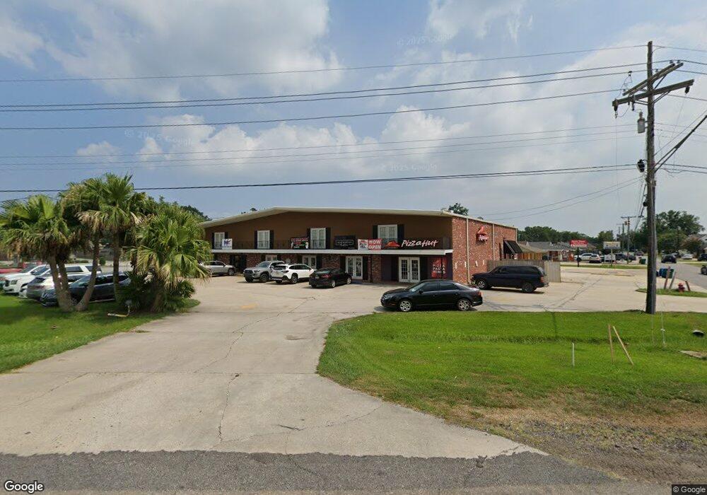
12439 Us 90 Unit B Luling, LA 70070
Estimated Value: $658,995
Studio
--
Bath
1,880
Sq Ft
$351/Sq Ft
Est. Value
About This Home
This home is located at 12439 Us 90 Unit B, Luling, LA 70070 and is currently estimated at $658,995, approximately $350 per square foot. 12439 Us 90 Unit B is a home located in St. Charles Parish with nearby schools including Mimosa Park Elementary School, Lakewood Elementary School, and J.B. Martin Middle School.
Ownership History
Date
Name
Owned For
Owner Type
Purchase Details
Closed on
Nov 4, 2024
Sold by
Gtg Development Llc
Bought by
Omni Property Assets Llc
Current Estimated Value
Purchase Details
Closed on
Nov 19, 2021
Sold by
Perque Real Estate Of La Llc
Bought by
Gtg Development Llc
Purchase Details
Closed on
Oct 21, 2011
Sold by
Hollingsworth Chad Alan
Bought by
Perque Real Estate Of La Llc and Perque Chrisp P
Purchase Details
Closed on
Oct 20, 2011
Sold by
Soto Jennifer and Perque Chris Paul
Bought by
Perque Real Estate Of Louisiana Llc
Create a Home Valuation Report for This Property
The Home Valuation Report is an in-depth analysis detailing your home's value as well as a comparison with similar homes in the area
Home Values in the Area
Average Home Value in this Area
Purchase History
| Date | Buyer | Sale Price | Title Company |
|---|---|---|---|
| Omni Property Assets Llc | -- | States Title | |
| Gtg Development Llc | $670,000 | None Available | |
| Perque Real Estate Of La Llc | -- | None Available | |
| Perque Real Estate Of Louisiana Llc | -- | None Available |
Source: Public Records
Tax History
| Year | Tax Paid | Tax Assessment Tax Assessment Total Assessment is a certain percentage of the fair market value that is determined by local assessors to be the total taxable value of land and additions on the property. | Land | Improvement |
|---|---|---|---|---|
| 2025 | $5,386 | $53,290 | $18,700 | $34,590 |
| 2024 | $5,386 | $53,290 | $18,700 | $34,590 |
| 2023 | $5,470 | $69,155 | $16,420 | $52,735 |
| 2022 | $8,087 | $69,155 | $16,420 | $52,735 |
| 2021 | $7,341 | $62,240 | $14,778 | $47,462 |
| 2020 | $8,171 | $69,155 | $16,420 | $52,735 |
| 2019 | $8,075 | $68,095 | $13,440 | $54,655 |
| 2018 | $8,013 | $68,095 | $13,440 | $54,655 |
| 2017 | $8,003 | $68,095 | $13,440 | $54,655 |
| 2016 | $8,037 | $68,095 | $13,440 | $54,655 |
| 2015 | $7,330 | $62,335 | $7,680 | $54,655 |
| 2014 | $7,062 | $62,335 | $7,680 | $54,655 |
| 2013 | $6,545 | $57,573 | $7,680 | $49,893 |
Source: Public Records
Map
Nearby Homes
- 12439 Us 90 Unit D
- 12439 Us 90
- 12439 Us 90 Unit A
- 12439 U S 90 Unit C
- 12439 U S 90 Unit B
- 12439 U S 90 Unit A
- 12439 U S 90 Unit STE A
- 12439 U S 90
- 12439 Highway 90 Unit C
- 12439 Highway 90 Unit B
- 12439 Highway 90
- 12439 Highway 90 Unit A
- 0 Highway 90
- 0 Highway 90 & Mimosa Hwy Unit 736484
- 0 Hwy 90 & Mimosa Ave
- 79 Wade St
- 91 Mimosa Ave
- 89 Mimosa Ave
- 93 Mimosa Ave
- 93 Mimosa Ave
Your Personal Tour Guide
Ask me questions while you tour the home.