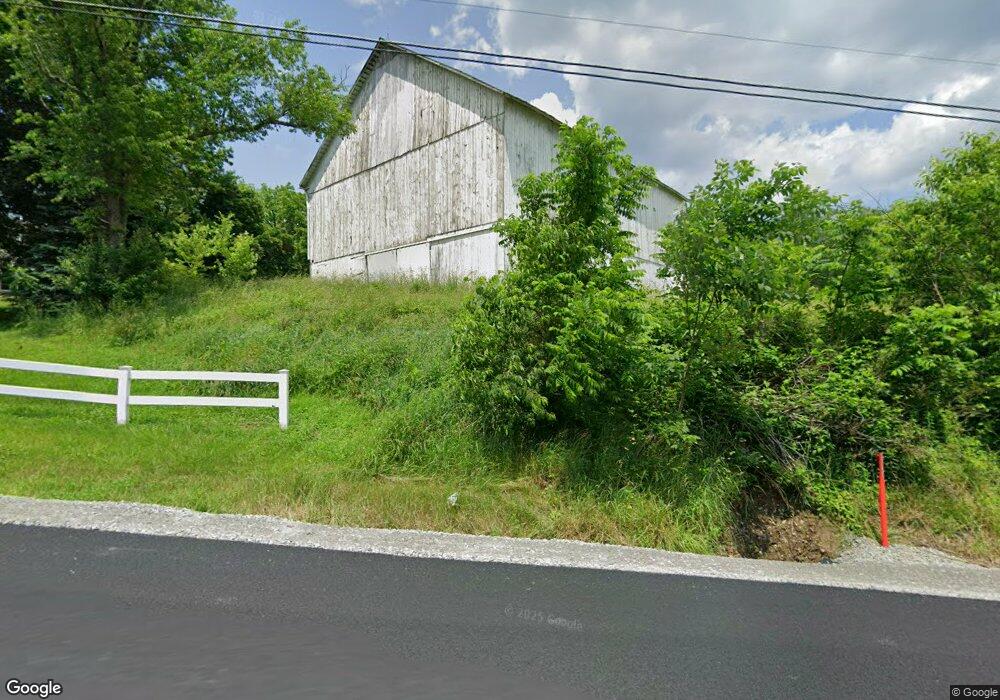
1244 Airport Rd Vandergrift, PA 15690
Parks Township NeighborhoodEstimated Value: $311,000 - $372,000
3
Beds
2
Baths
2,059
Sq Ft
$167/Sq Ft
Est. Value
About This Home
This home is located at 1244 Airport Rd, Vandergrift, PA 15690 and is currently estimated at $344,162, approximately $167 per square foot. 1244 Airport Rd is a home with nearby schools including Kiski Area High School.
Ownership History
Date
Name
Owned For
Owner Type
Purchase Details
Closed on
Apr 3, 2008
Sold by
Knell Steven P and Knell Amanda S
Bought by
Knell Steven P and Knell Amanda S
Current Estimated Value
Home Financials for this Owner
Home Financials are based on the most recent Mortgage that was taken out on this home.
Original Mortgage
$35,000
Outstanding Balance
$22,275
Interest Rate
6.06%
Mortgage Type
Purchase Money Mortgage
Estimated Equity
$321,887
Create a Home Valuation Report for This Property
The Home Valuation Report is an in-depth analysis detailing your home's value as well as a comparison with similar homes in the area
Home Values in the Area
Average Home Value in this Area
Purchase History
| Date | Buyer | Sale Price | Title Company |
|---|---|---|---|
| Knell Steven P | -- | None Available |
Source: Public Records
Mortgage History
| Date | Status | Borrower | Loan Amount |
|---|---|---|---|
| Open | Knell Steven P | $35,000 |
Source: Public Records
Tax History Compared to Growth
Tax History
| Year | Tax Paid | Tax Assessment Tax Assessment Total Assessment is a certain percentage of the fair market value that is determined by local assessors to be the total taxable value of land and additions on the property. | Land | Improvement |
|---|---|---|---|---|
| 2025 | $5,043 | $67,730 | $44,580 | $23,150 |
| 2024 | $4,659 | $67,730 | $44,580 | $23,150 |
| 2023 | $2,826 | $67,730 | $44,580 | $23,150 |
| 2022 | $2,826 | $67,730 | $44,580 | $23,150 |
| 2021 | $2,822 | $67,730 | $44,580 | $23,150 |
| 2020 | $2,858 | $67,730 | $44,580 | $23,150 |
| 2019 | $2,856 | $67,730 | $44,580 | $23,150 |
| 2018 | $2,800 | $63,690 | $30,620 | $33,070 |
| 2017 | $2,747 | $67,730 | $44,580 | $23,150 |
| 2016 | $2,667 | $67,730 | $44,580 | $23,150 |
| 2015 | $2,048 | $67,730 | $44,580 | $23,150 |
| 2014 | $2,048 | $67,730 | $44,580 | $23,150 |
Source: Public Records
Map
Nearby Homes
- 214 and 214 1/2 Whittier St
- 1212 Gravel Bar Rd
- 1116 Grant St
- 1252 Jefferson St
- 133 Sherman Ave
- 137 Sherman Ave
- 411 Center St
- 112 Farragut Ave Unit 3
- 369 Chestnut St
- 247 Sherman Ave
- 365 Chestnut St
- 405 5th Ave
- 121 Hamilton Ave
- 129 Franklin Ave
- 109 Washington Ave
- 154 Jefferson Ave Unit 6
- 219 Quay St
- 221 Railroad St
- 225 Mckinley Ave
- 597 Market St
- 1229 Airport Rd
- 1104 Maple Rd
- 1258 Airport Rd
- 1210 Airport Rd
- 1206 Airport Rd
- 232 Lower Allegheny Dr
- 560 Lower Johnetta Rd
- 1267 Airport Rd
- 1259 Airport Rd
- 1204 Airport Rd
- 1203 Airport Rd
- 1189 Maple Rd
- 1281 Airport Rd
- 1280 Airport Rd
- 1198 Airport Rd
- 1199 Airport Rd
- 1192 Airport Rd
- 1294 Airport Rd
- 1304 Airport Rd
- 1193 Airport Rd