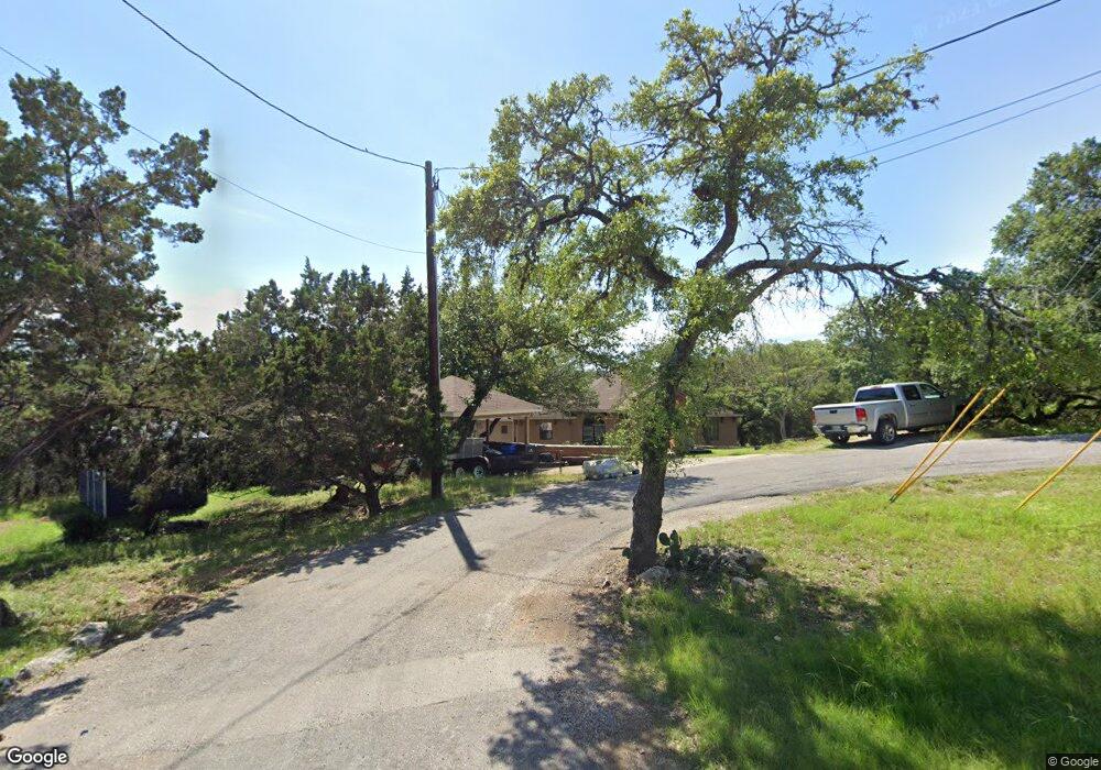
1244 Burning Tree Spring Branch, TX 78070
Estimated Value: $363,306 - $412,000
3
Beds
2
Baths
1,872
Sq Ft
$211/Sq Ft
Est. Value
About This Home
This home is located at 1244 Burning Tree, Spring Branch, TX 78070 and is currently estimated at $395,327, approximately $211 per square foot. 1244 Burning Tree is a home located in Comal County with nearby schools including Rebecca Creek Elementary School, Mt Valley Middle School, and Canyon Lake High School.
Ownership History
Date
Name
Owned For
Owner Type
Purchase Details
Closed on
Nov 19, 2020
Sold by
Melton Dean Thomas and Eakin Jean Patricia
Bought by
Savoif Michelle
Current Estimated Value
Home Financials for this Owner
Home Financials are based on the most recent Mortgage that was taken out on this home.
Original Mortgage
$251,275
Outstanding Balance
$222,576
Interest Rate
2.8%
Mortgage Type
New Conventional
Estimated Equity
$172,751
Purchase Details
Closed on
Nov 6, 2020
Sold by
Eakine Jean Patricia and Estate Of Dean Thomas Melton
Bought by
Savioe Michelle
Home Financials for this Owner
Home Financials are based on the most recent Mortgage that was taken out on this home.
Original Mortgage
$251,275
Outstanding Balance
$222,576
Interest Rate
2.8%
Mortgage Type
New Conventional
Estimated Equity
$172,751
Create a Home Valuation Report for This Property
The Home Valuation Report is an in-depth analysis detailing your home's value as well as a comparison with similar homes in the area
Home Values in the Area
Average Home Value in this Area
Purchase History
| Date | Buyer | Sale Price | Title Company |
|---|---|---|---|
| Savoif Michelle | -- | Alamo Title Company | |
| Savioe Michelle | -- | Atc New Braunfels |
Source: Public Records
Mortgage History
| Date | Status | Borrower | Loan Amount |
|---|---|---|---|
| Open | Savoif Michelle | $251,275 | |
| Closed | Savioe Michelle | $251,275 |
Source: Public Records
Tax History
| Year | Tax Paid | Tax Assessment Tax Assessment Total Assessment is a certain percentage of the fair market value that is determined by local assessors to be the total taxable value of land and additions on the property. | Land | Improvement |
|---|---|---|---|---|
| 2025 | $2,681 | $355,586 | -- | -- |
| 2024 | $2,681 | $323,260 | -- | -- |
| 2023 | $2,681 | $293,873 | -- | -- |
| 2022 | $2,677 | $267,157 | -- | -- |
| 2021 | $4,326 | $242,870 | $39,490 | $203,380 |
| 2020 | $4,646 | $250,730 | $25,790 | $224,940 |
| 2019 | $4,355 | $229,450 | $13,750 | $215,700 |
| 2018 | $3,955 | $208,940 | $13,750 | $195,190 |
| 2017 | $4,155 | $221,240 | $14,440 | $206,800 |
| 2016 | $3,853 | $205,140 | $9,820 | $195,320 |
| 2015 | $2,657 | $196,310 | $9,820 | $186,490 |
| 2014 | $2,657 | $187,210 | $9,820 | $177,390 |
Source: Public Records
Map
Nearby Homes
- 1164 Winding Creek Trail
- 492 Havasu Point
- 1064 Overbrook Ln
- 2295 Tanglewood Trail
- 1395 Overbrook Ln
- 2603 Campestres
- 2637 Campestres
- 1956 Tanglewood Trail
- 1697 Winding Creek Trail
- 2626 Campestres
- 457 Havasu Point
- 1903 Tanglewood Trail
- 1609 Winding Creek Trail
- 119 Cartama
- 1035 Cedar Grove Trail
- 161 Sunnyside Ct
- 307 Palm
- 1145 Bob White Dr
- 103 Cascada Point
- 3118 Tanglewood Trail
- 1245 Burning Tree
- 1235 Burning Tree
- 1224 Burning Tree
- 1225 Burning Tree
- 1202 Burning Tree
- 1190 Burning Tree
- 2550 Tanglewood Trail
- 2560 Tanglewood Trail
- 2540 Tanglewood Tr
- 1092 Winding Creek Trail
- 1041 Burning Tree
- 1139 Burning Tree
- 1166 Burning Tree
- 2580 Tanglewood Trail
- 1140 Winding Creek Trail
- 1155 Burning Tree
- 1179 Burning Tree
- 2525 Tanglewood Trail
- 1011 Overbrook Ln
- 1091 Winding Creek Trail
Your Personal Tour Guide
Ask me questions while you tour the home.