1244 Davis Hill Rd Center Conway, NH 03813
Estimated Value: $366,000 - $549,000
3
Beds
3
Baths
1,816
Sq Ft
$256/Sq Ft
Est. Value
About This Home
This home is located at 1244 Davis Hill Rd, Center Conway, NH 03813 and is currently estimated at $464,991, approximately $256 per square foot. 1244 Davis Hill Rd is a home located in Carroll County with nearby schools including A. Crosby Kennett Middle School, Kennett High School, and Cady Memorial School.
Ownership History
Date
Name
Owned For
Owner Type
Purchase Details
Closed on
Oct 29, 1999
Sold by
Kimball Maurice B and Kimball Agnes B
Bought by
Cryan Linda J and Cryan John
Current Estimated Value
Home Financials for this Owner
Home Financials are based on the most recent Mortgage that was taken out on this home.
Original Mortgage
$92,000
Outstanding Balance
$24,736
Interest Rate
7.78%
Estimated Equity
$440,255
Create a Home Valuation Report for This Property
The Home Valuation Report is an in-depth analysis detailing your home's value as well as a comparison with similar homes in the area
Home Values in the Area
Average Home Value in this Area
Purchase History
| Date | Buyer | Sale Price | Title Company |
|---|---|---|---|
| Cryan Linda J | $115,400 | -- |
Source: Public Records
Mortgage History
| Date | Status | Borrower | Loan Amount |
|---|---|---|---|
| Open | Cryan Linda J | $92,000 |
Source: Public Records
Tax History
| Year | Tax Paid | Tax Assessment Tax Assessment Total Assessment is a certain percentage of the fair market value that is determined by local assessors to be the total taxable value of land and additions on the property. | Land | Improvement |
|---|---|---|---|---|
| 2025 | $4,962 | $389,800 | $101,500 | $288,300 |
| 2024 | $4,678 | $389,800 | $101,500 | $288,300 |
| 2023 | $4,147 | $384,300 | $101,500 | $282,800 |
| 2022 | $4,031 | $221,000 | $84,600 | $136,400 |
| 2021 | $3,438 | $210,400 | $84,600 | $125,800 |
| 2020 | $0 | $210,400 | $84,600 | $125,800 |
| 2019 | $3,644 | $210,400 | $84,600 | $125,800 |
| 2018 | $3,644 | $169,400 | $68,800 | $100,600 |
| 2017 | $3,385 | $169,400 | $68,800 | $100,600 |
| 2016 | $3,271 | $169,400 | $68,800 | $100,600 |
| 2015 | $3,140 | $164,500 | $68,800 | $95,700 |
| 2014 | $3,102 | $164,500 | $68,800 | $95,700 |
| 2013 | $2,845 | $159,300 | $68,800 | $90,500 |
Source: Public Records
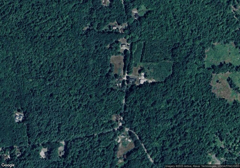
Map
Nearby Homes
- 00 Davis Hill Rd Unit 97
- 0 Henderson Unit 42
- 106 Pemigewasset Dr
- 25 Hunting Ridge Rd
- 14 Americal Way
- 368 Haleytown Rd
- 368 Haley Town Rd
- 443 Greeley Rd
- 614 Haleytown Rd
- 151 A-B Mill St
- 151 Mill St
- 13/50 Corn Hill Rd
- 1049 E Main St
- 217 Chamberlain Rd
- 109 Partridge Run
- 00 Stritch Rd Unit 58
- 43 Wildwood Way
- 167 Blake Hill Rd
- 169 Mountainvale Dr
- 42 Fox Hill Ln
- 1243 Davis Hill Rd
- 1200 Davis Hill Rd
- 1200 Davis Hill Rd
- 1286 Davis Hill Rd
- 1286 Davis Hill Rd
- 1182 Davis Hill Rd
- Lot 1 Brownfield Rd
- Lot 5 Brownfield Rd
- Lot 3 Brownfield Rd
- 00 Brownfield Rd Unit 11
- 0 Brownfield Rd Unit 4181427
- 0 Brownfield Rd Unit 4041580
- 0 Brownfield Rd Unit 4838109
- 00 Brownfield Rd
- 0 Brownfield Rd Unit Lot 10 4793963
- 0 Brownfield Rd Unit Lot 10 4679173
- 00 Davis Hill Rd
- 00 Davis Hill Rd Unit 5-2
- 1167 Davis Hill Rd
- 13 Gulf Rd
Your Personal Tour Guide
Ask me questions while you tour the home.