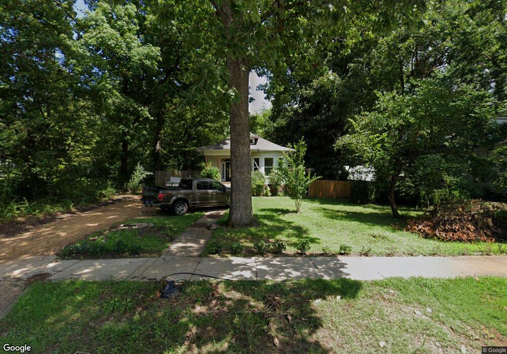
1244 Flint St Jonesboro, AR 72401
Estimated Value: $104,429 - $137,000
--
Bed
1
Bath
1,091
Sq Ft
$112/Sq Ft
Est. Value
About This Home
This home is located at 1244 Flint St, Jonesboro, AR 72401 and is currently estimated at $121,857, approximately $111 per square foot. 1244 Flint St is a home located in Craighead County with nearby schools including Annie Camp Junior High School, The Academies at Jonesboro High School, and Montessori School of Jonesboro.
Ownership History
Date
Name
Owned For
Owner Type
Purchase Details
Closed on
Jan 28, 2022
Sold by
Brenda F Jelks Irrevocable Living Trust and Grissom Travis C
Bought by
Jhliv Llc
Current Estimated Value
Home Financials for this Owner
Home Financials are based on the most recent Mortgage that was taken out on this home.
Original Mortgage
$192,000
Outstanding Balance
$65,723
Interest Rate
3.22%
Mortgage Type
Construction
Estimated Equity
$56,134
Purchase Details
Closed on
Oct 17, 2005
Sold by
Henderson Frances Darene
Bought by
Jelks Harold J and Jelks Brenda F
Purchase Details
Closed on
Apr 4, 1997
Bought by
Williams
Purchase Details
Closed on
Mar 15, 1991
Bought by
Duke
Purchase Details
Closed on
Apr 11, 1988
Bought by
Henderson
Create a Home Valuation Report for This Property
The Home Valuation Report is an in-depth analysis detailing your home's value as well as a comparison with similar homes in the area
Home Values in the Area
Average Home Value in this Area
Purchase History
| Date | Buyer | Sale Price | Title Company |
|---|---|---|---|
| Jhliv Llc | $97,000 | None Listed On Document | |
| Jelks Harold J | $43,000 | None Available | |
| Williams | -- | -- | |
| Duke | $52,000 | -- | |
| Henderson | $29,000 | -- |
Source: Public Records
Mortgage History
| Date | Status | Borrower | Loan Amount |
|---|---|---|---|
| Open | Jhliv Llc | $192,000 |
Source: Public Records
Tax History Compared to Growth
Tax History
| Year | Tax Paid | Tax Assessment Tax Assessment Total Assessment is a certain percentage of the fair market value that is determined by local assessors to be the total taxable value of land and additions on the property. | Land | Improvement |
|---|---|---|---|---|
| 2025 | $556 | $15,867 | $3,000 | $12,867 |
| 2024 | $556 | $15,867 | $3,000 | $12,867 |
| 2023 | $464 | $11,252 | $3,000 | $8,252 |
| 2022 | $464 | $11,252 | $3,000 | $8,252 |
| 2021 | $538 | $12,760 | $3,000 | $9,760 |
| 2020 | $538 | $12,760 | $3,000 | $9,760 |
| 2019 | $538 | $12,760 | $3,000 | $9,760 |
| 2018 | $538 | $12,760 | $3,000 | $9,760 |
| 2017 | $533 | $12,760 | $3,000 | $9,760 |
| 2016 | $484 | $11,470 | $3,000 | $8,470 |
| 2015 | $484 | $11,470 | $3,000 | $8,470 |
| 2014 | $484 | $11,470 | $3,000 | $8,470 |
Source: Public Records
Map
Nearby Homes
- 1233 Flint St
- 507 Elm Ave
- 635 Poplar Ave
- 606 Elm Ave
- 701 W Nettleton Ave
- 1411 S Madison St
- 515 W Thomas Ave
- 1226 S Madison St
- 1117 S Madison St
- 1105 S Madison St
- 621 W Thomas Ave
- 637 W Oak Ave
- 622 W Oak Ave
- 1217 Olive St
- 730 W Cherry Ave
- 812 W Nettleton Ave
- 1130 Vine St
- 1419 S Main St
- 735 W Oak Ave
- 636 Warner Ave
- 1250 Flint St
- 1250 Flint St Unit D
- 1250 Flint St Unit B
- 1250 Flint St Unit C
- 1250 Flint St Unit B
- 1230 Flint St
- 1233 Flint St Unit 1235 Flint and 603 p
- 1233 Flint St Unit 1235 Flint, 603 Popl
- 1302 Flint St
- 1302 Flint St Unit A
- 1245 Flint St
- 1235 Flint St Unit 1233 Flint and 603 P
- 1235 Flint St
- 1251 Flint St
- 525 W Strawn Ave
- 512 Poplar Ave
- 1214 Flint St
- 602 Poplar Ave
- 510 Poplar Ave
- 603 Poplar Ave Unit 1233 Flint and 1235