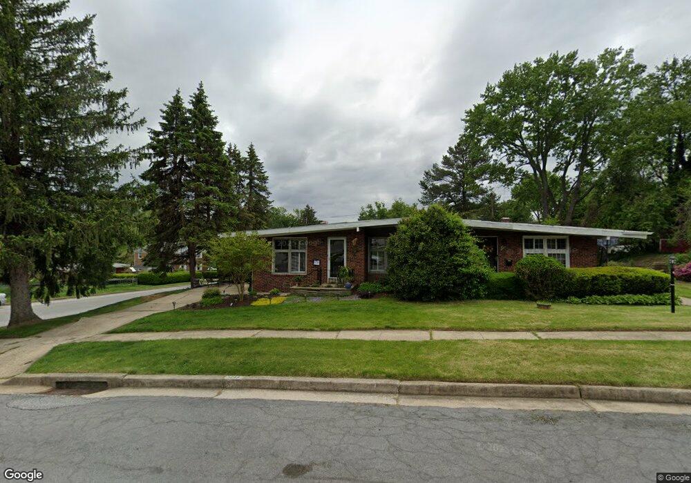
1244 Knightswood Rd Baltimore, MD 21239
Estimated Value: $276,949 - $308,000
3
Beds
2
Baths
1,234
Sq Ft
$242/Sq Ft
Est. Value
About This Home
This home is located at 1244 Knightswood Rd, Baltimore, MD 21239 and is currently estimated at $298,737, approximately $242 per square foot. 1244 Knightswood Rd is a home located in Baltimore County with nearby schools including Halstead Academy, Loch Raven Technical Academy, and Towson High Law & Public Policy.
Ownership History
Date
Name
Owned For
Owner Type
Purchase Details
Closed on
Jun 24, 2004
Sold by
Wernz David T
Bought by
Conney Ericka A
Current Estimated Value
Purchase Details
Closed on
Feb 15, 2002
Sold by
Community Services Of Md Inc
Bought by
Wernz David T and Mccarter Stacey T
Purchase Details
Closed on
Nov 10, 1993
Sold by
Singley E R
Bought by
Community Serv Of Md
Home Financials for this Owner
Home Financials are based on the most recent Mortgage that was taken out on this home.
Original Mortgage
$48,000
Interest Rate
6.79%
Create a Home Valuation Report for This Property
The Home Valuation Report is an in-depth analysis detailing your home's value as well as a comparison with similar homes in the area
Home Values in the Area
Average Home Value in this Area
Purchase History
| Date | Buyer | Sale Price | Title Company |
|---|---|---|---|
| Conney Ericka A | $146,333 | -- | |
| Conney Ericka A | $146,333 | -- | |
| Wernz David T | $99,500 | -- | |
| Community Serv Of Md | $108,000 | -- |
Source: Public Records
Mortgage History
| Date | Status | Borrower | Loan Amount |
|---|---|---|---|
| Previous Owner | Community Serv Of Md | $48,000 | |
| Closed | Community Serv Of Md | $60,000 |
Source: Public Records
Tax History Compared to Growth
Tax History
| Year | Tax Paid | Tax Assessment Tax Assessment Total Assessment is a certain percentage of the fair market value that is determined by local assessors to be the total taxable value of land and additions on the property. | Land | Improvement |
|---|---|---|---|---|
| 2025 | $3,244 | $213,400 | $80,000 | $133,400 |
| 2024 | $3,244 | $204,233 | $0 | $0 |
| 2023 | $3,174 | $195,067 | $0 | $0 |
| 2022 | $2,879 | $185,900 | $80,000 | $105,900 |
| 2021 | $2,858 | $180,800 | $0 | $0 |
| 2020 | $2,858 | $175,700 | $0 | $0 |
| 2019 | $2,815 | $170,600 | $80,000 | $90,600 |
| 2018 | $2,689 | $166,500 | $0 | $0 |
| 2017 | $2,638 | $162,400 | $0 | $0 |
| 2016 | -- | $158,300 | $0 | $0 |
| 2015 | $2,135 | $158,300 | $0 | $0 |
| 2014 | $2,135 | $158,300 | $0 | $0 |
Source: Public Records
Map
Nearby Homes
- 1204 Saint Andrews Way
- 6702 Queens Ferry Rd
- 6931 Summit Cir
- 6923 Summit Cir
- 1108 Litchfield Rd
- 908 Stevenson Ln
- 701 Hillen Rd
- 703 Hillen Rd
- 12 Stone Ridge Ct
- 28 Stone Ridge Ct
- 6415 Falkirk Rd
- 625 Yarmouth Rd
- 1602 Glen Keith Blvd
- 1211 Dalton Rd
- 500 Fairway Ct
- 1405 Putty Hill Ave
- 1641 Cottage Ln
- 1304 Dartmouth Ave
- 1552 Cottage Ln
- 612 Coventry Rd
- 1242 Knightswood Rd
- 1216 Brixton Rd
- 1301 Knightswood Rd
- 1240 Knightswood Rd
- 1214 Brixton Rd
- 1212 Brixton Rd
- 1210 Brixton Rd
- 1300 Brixton Rd
- 1143 Glendale Rd
- 1303 Knightswood Rd
- 1238 Knightswood Rd
- 1141 Glendale Rd
- 1208 Brixton Rd
- 1302 Brixton Rd
- 1146 Glendale Rd
- 1305 Knightswood Rd
- 1206 Brixton Rd
- 1237 Knightswood Rd
- 1236 Knightswood Rd
- 1304 Brixton Rd