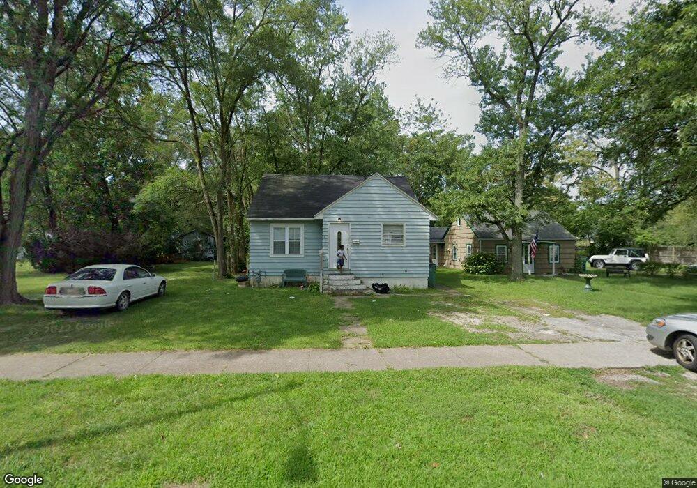
1244 Monroe St Benton Harbor, MI 49022
Estimated Value: $89,000 - $102,508
3
Beds
1
Bath
900
Sq Ft
$106/Sq Ft
Est. Value
About This Home
This home is located at 1244 Monroe St, Benton Harbor, MI 49022 and is currently estimated at $95,377, approximately $105 per square foot. 1244 Monroe St is a home located in Berrien County with nearby schools including Fair Plain Middle School, Benton Harbor High School, and Benton Harbor Charter School Academy.
Ownership History
Date
Name
Owned For
Owner Type
Purchase Details
Closed on
Nov 17, 2004
Sold by
Dyson Pledo R J
Bought by
Dyson Pledo R J and Dyson Nicole
Current Estimated Value
Home Financials for this Owner
Home Financials are based on the most recent Mortgage that was taken out on this home.
Original Mortgage
$56,880
Outstanding Balance
$31,928
Interest Rate
7.7%
Mortgage Type
New Conventional
Estimated Equity
$63,449
Purchase Details
Closed on
May 4, 2001
Purchase Details
Closed on
Aug 12, 1999
Purchase Details
Closed on
Jun 3, 1985
Purchase Details
Closed on
Apr 9, 1985
Purchase Details
Closed on
Oct 11, 1978
Create a Home Valuation Report for This Property
The Home Valuation Report is an in-depth analysis detailing your home's value as well as a comparison with similar homes in the area
Home Values in the Area
Average Home Value in this Area
Purchase History
| Date | Buyer | Sale Price | Title Company |
|---|---|---|---|
| Dyson Pledo R J | -- | Metropolitan Title | |
| -- | $44,500 | -- | |
| -- | $13,000 | -- | |
| -- | $7,500 | -- | |
| -- | -- | -- | |
| -- | $14,800 | -- |
Source: Public Records
Mortgage History
| Date | Status | Borrower | Loan Amount |
|---|---|---|---|
| Open | Dyson Pledo R J | $56,880 |
Source: Public Records
Tax History
| Year | Tax Paid | Tax Assessment Tax Assessment Total Assessment is a certain percentage of the fair market value that is determined by local assessors to be the total taxable value of land and additions on the property. | Land | Improvement |
|---|---|---|---|---|
| 2025 | $952 | $31,500 | $0 | $0 |
| 2024 | $915 | $27,800 | $0 | $0 |
| 2023 | $732 | $19,700 | $0 | $0 |
| 2022 | $831 | $14,600 | $0 | $0 |
| 2021 | $836 | $14,400 | $600 | $13,800 |
| 2020 | $826 | $14,600 | $0 | $0 |
| 2019 | $814 | $12,900 | $0 | $0 |
| 2018 | $793 | $12,600 | $0 | $0 |
| 2017 | $784 | $12,700 | $0 | $0 |
| 2016 | $770 | $12,800 | $0 | $0 |
| 2015 | $768 | $12,300 | $0 | $0 |
| 2014 | $829 | $14,900 | $0 | $0 |
Source: Public Records
Map
Nearby Homes
- 1342 Monroe St
- 1250 Superior St
- 1190 Monroe St
- 1238 Broadway
- 1064 Ogden Ave
- 1216 Broadway
- 1309 Agard Ave
- 1096 Pearl St
- 1086 Union Ave
- 1593 Columbus Ave
- V/L Mcalister
- 180 Emery Ave
- 1132 Milton St
- 956 Union Ave
- 1079 Hurd Ave
- 1298 Colfax Ave
- 1712 W Ogden Cir
- 979 Lavette Ave
- 1504 Michigan 139
- 1045 Broadway
Your Personal Tour Guide
Ask me questions while you tour the home.