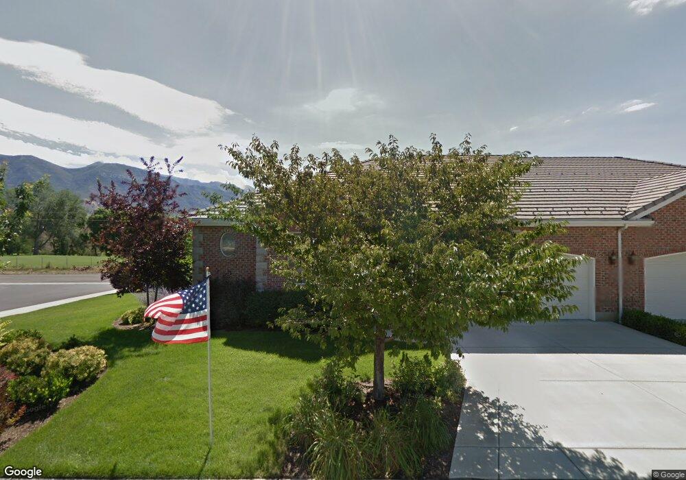
1244 N 160 E American Fork, UT 84003
Estimated Value: $718,000 - $772,000
3
Beds
3
Baths
3,612
Sq Ft
$205/Sq Ft
Est. Value
About This Home
This home is located at 1244 N 160 E, American Fork, UT 84003 and is currently estimated at $740,611, approximately $205 per square foot. 1244 N 160 E is a home located in Utah County with nearby schools including Forbes Elementary School, American Fork Junior High School, and American Fork High School.
Ownership History
Date
Name
Owned For
Owner Type
Purchase Details
Closed on
Apr 30, 2025
Sold by
Malley Mark R and Malley Victoria R
Bought by
Mark And Victoria Malley Family Trust and Malley
Current Estimated Value
Purchase Details
Closed on
May 21, 2021
Sold by
Meyers Debra and The Chugg Family Trust
Bought by
Malley Mark R and Malley Victoria R
Home Financials for this Owner
Home Financials are based on the most recent Mortgage that was taken out on this home.
Original Mortgage
$400,000
Interest Rate
2.9%
Mortgage Type
New Conventional
Purchase Details
Closed on
Jun 11, 2013
Sold by
Thompson Frank B
Bought by
Chugg S Mark and Chugg Jolene L
Purchase Details
Closed on
Nov 9, 2011
Sold by
Thompson Frank W
Bought by
Thompson Carolyn R
Purchase Details
Closed on
Mar 11, 2004
Sold by
Robinson Development Inc
Bought by
Thompson Frank W and Thompson Carolyn R
Home Financials for this Owner
Home Financials are based on the most recent Mortgage that was taken out on this home.
Original Mortgage
$350,000
Interest Rate
5.65%
Mortgage Type
Purchase Money Mortgage
Create a Home Valuation Report for This Property
The Home Valuation Report is an in-depth analysis detailing your home's value as well as a comparison with similar homes in the area
Home Values in the Area
Average Home Value in this Area
Purchase History
| Date | Buyer | Sale Price | Title Company |
|---|---|---|---|
| Mark And Victoria Malley Family Trust | -- | None Listed On Document | |
| Malley Mark R | -- | Greebrier Title | |
| Chugg S Mark | -- | Greenbrier Title Insurace | |
| Thompson Carolyn R | -- | None Available | |
| Thompson Frank W | -- | Horizon Title Insurance |
Source: Public Records
Mortgage History
| Date | Status | Borrower | Loan Amount |
|---|---|---|---|
| Previous Owner | Malley Mark R | $400,000 | |
| Previous Owner | Thompson Frank W | $350,000 |
Source: Public Records
Tax History
| Year | Tax Paid | Tax Assessment Tax Assessment Total Assessment is a certain percentage of the fair market value that is determined by local assessors to be the total taxable value of land and additions on the property. | Land | Improvement |
|---|---|---|---|---|
| 2025 | $3,205 | $376,915 | -- | -- |
| 2024 | $3,205 | $356,070 | $0 | $0 |
| 2023 | $3,119 | $367,455 | $0 | $0 |
| 2022 | $3,076 | $357,555 | $0 | $0 |
| 2021 | $2,754 | $500,100 | $150,000 | $350,100 |
| 2020 | $2,679 | $471,800 | $150,000 | $321,800 |
| 2019 | $2,403 | $437,700 | $150,000 | $287,700 |
| 2018 | $2,513 | $437,700 | $150,000 | $287,700 |
| 2017 | $2,386 | $224,235 | $0 | $0 |
| 2016 | $2,175 | $189,915 | $0 | $0 |
| 2015 | $2,197 | $182,050 | $0 | $0 |
| 2014 | $2,022 | $165,275 | $0 | $0 |
Source: Public Records
Map
Nearby Homes
- 1065 N 100 E
- 35 W 1350 N
- 9643 N 5650 W
- 894 N 60 E
- 822 N 150 E Unit 5
- 4650 W Magnolia Drive Dr Unit 8
- 10238 N 6530 W Unit 15
- 5277 N 11200 W Unit 4
- 5284 N 11200 W Unit 3
- 6079 W Whisper Ln Unit 404
- 1220 E 700 N
- 6111 W Whisper Ln Unit 402
- 603 S 370 E
- 234 W 1080 N
- 780 N 100 E
- 5995 W 9600 N
- 183 E 760 St N
- 9796 N 5800 W
- 1016 N 250 W
- 1023 N 250 W
Your Personal Tour Guide
Ask me questions while you tour the home.