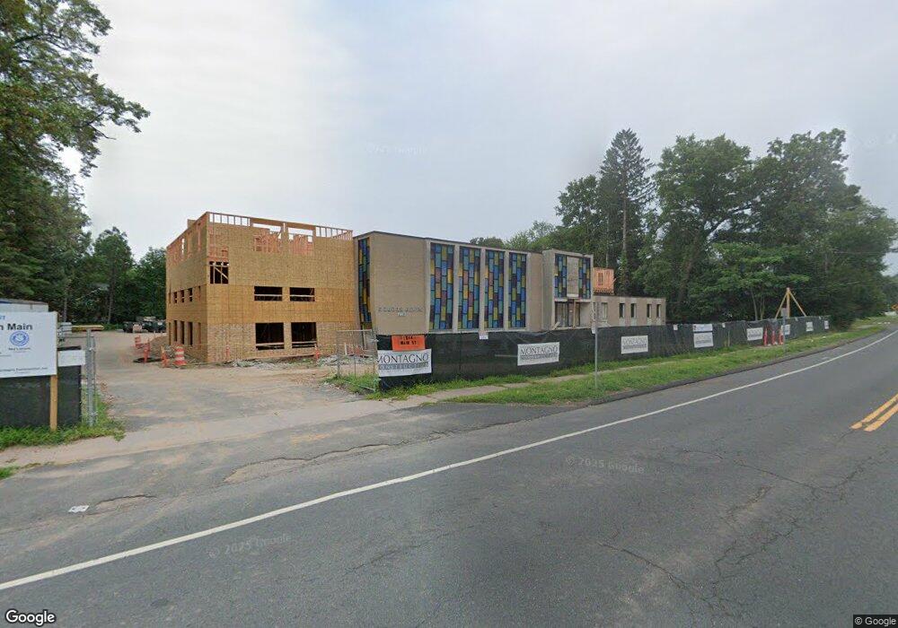
1244 N Main St West Hartford, CT 06117
--
Bed
1
Bath
14,060
Sq Ft
1.83
Acres
About This Home
This home is located at 1244 N Main St, West Hartford, CT 06117. 1244 N Main St is a home located in Hartford County with nearby schools including Aiken School, King Philip Middle School, and Delta High School.
Ownership History
Date
Name
Owned For
Owner Type
Purchase Details
Closed on
Dec 10, 2024
Sold by
Congregation Agudas Achim
Bought by
Trout Brk Rlty Advisors I
Home Financials for this Owner
Home Financials are based on the most recent Mortgage that was taken out on this home.
Original Mortgage
$5,500,000
Outstanding Balance
$5,456,158
Interest Rate
6.72%
Mortgage Type
Construction
Create a Home Valuation Report for This Property
The Home Valuation Report is an in-depth analysis detailing your home's value as well as a comparison with similar homes in the area
Home Values in the Area
Average Home Value in this Area
Purchase History
| Date | Buyer | Sale Price | Title Company |
|---|---|---|---|
| Trout Brk Rlty Advisors I | $1,600,000 | None Available | |
| Trout Brk Rlty Advisors I | $1,600,000 | None Available |
Source: Public Records
Mortgage History
| Date | Status | Borrower | Loan Amount |
|---|---|---|---|
| Open | Trout Brk Rlty Advisors I | $5,500,000 | |
| Closed | Trout Brk Rlty Advisors I | $5,500,000 |
Source: Public Records
Tax History Compared to Growth
Tax History
| Year | Tax Paid | Tax Assessment Tax Assessment Total Assessment is a certain percentage of the fair market value that is determined by local assessors to be the total taxable value of land and additions on the property. | Land | Improvement |
|---|---|---|---|---|
| 2025 | $0 | $708,540 | $344,820 | $363,720 |
| 2024 | $111,398 | $1,782,620 | $344,820 | $1,437,800 |
| 2023 | $0 | $1,782,620 | $344,820 | $1,437,800 |
| 2022 | $111,398 | $1,782,620 | $344,820 | $1,437,800 |
| 2021 | $0 | $1,493,310 | $299,880 | $1,193,430 |
| 2020 | $0 | $1,625,610 | $299,670 | $1,325,940 |
| 2019 | $0 | $1,625,610 | $299,670 | $1,325,940 |
| 2018 | $0 | $3,236,800 | $299,670 | $2,937,130 |
| 2017 | $0 | $3,236,800 | $299,670 | $2,937,130 |
| 2016 | $111,398 | $2,907,800 | $256,200 | $2,651,600 |
| 2015 | $111,398 | $2,907,800 | $256,200 | $2,651,600 |
| 2014 | -- | $2,907,800 | $256,200 | $2,651,600 |
Source: Public Records
Map
Nearby Homes
- 365 Simsbury Rd
- 148 King Philip Dr
- 17 Cranbrook
- 10 Ironwood Ln
- 50 Magnolia Hill
- 11 Rye Ridge Pkwy
- 537 Bloomfield Ave
- 9 Timberwood Rd
- 30 Biltmore Park Unit 30
- 139 Mohawk Dr
- 645 Bloomfield Ave
- 25 Lakeview Dr
- 12 Haviland Rd
- 34 Cary Ln Unit 34
- 1 Cedar Close
- 2581 Albany Ave
- 2 Croydon Dr
- 47 Flagg Rd
- 75 Arlen Way
- 5 Lovelace Dr
- 1226 N Main St
- 17 Harwich Ln
- 17 Harwich Ln Unit 17
- 17 Old Field Rd
- 19 Harwich Ln
- 19 Harwich Ln Unit 19
- 1218 N Main St
- 3 Woodmont Rd
- 1233 N Main St
- 31 Harwich Ln
- 31 Harwich Ln Unit 31
- 4 Woodmont Rd
- 27 Harwich Ln
- 15 Old Field Rd
- 29 Harwich Ln
- 29 Harwich Ln Unit 29
- 25 Harwich Ln
- 25 Harwich Ln Unit 25
- 23 Harwich Ln
- 21 Harwich Ln