1244 S Cedar Dr New Richmond, WI 54017
Estimated Value: $210,000 - $914,489
3
Beds
2
Baths
2,520
Sq Ft
$263/Sq Ft
Est. Value
About This Home
This home is located at 1244 S Cedar Dr, New Richmond, WI 54017 and is currently estimated at $663,372, approximately $263 per square foot. 1244 S Cedar Dr is a home located in St. Croix County with nearby schools including New Richmond High School.
Ownership History
Date
Name
Owned For
Owner Type
Purchase Details
Closed on
Jan 25, 2024
Sold by
Miller Joshua S and Miller Whitney L
Bought by
Joshua S Miller And Whitney L Miller Revocabl and Miller
Current Estimated Value
Purchase Details
Closed on
Oct 30, 2020
Sold by
Gorres Nicholas R and Gorres Jillian R
Bought by
Miller Joshua S and Miller Whitney L
Home Financials for this Owner
Home Financials are based on the most recent Mortgage that was taken out on this home.
Original Mortgage
$643,500
Interest Rate
2.9%
Mortgage Type
New Conventional
Purchase Details
Closed on
May 30, 2006
Sold by
Blinkhorn Gary R and Blinkhorn Jean M
Bought by
Breeze Rick and Breeze Bonnie
Home Financials for this Owner
Home Financials are based on the most recent Mortgage that was taken out on this home.
Original Mortgage
$110,625
Interest Rate
6.68%
Mortgage Type
Credit Line Revolving
Create a Home Valuation Report for This Property
The Home Valuation Report is an in-depth analysis detailing your home's value as well as a comparison with similar homes in the area
Home Values in the Area
Average Home Value in this Area
Purchase History
| Date | Buyer | Sale Price | Title Company |
|---|---|---|---|
| Joshua S Miller And Whitney L Miller Revocabl | -- | None Listed On Document | |
| Miller Joshua S | $715,000 | St Croix County Abstract & T | |
| Breeze Rick | $442,500 | None Available |
Source: Public Records
Mortgage History
| Date | Status | Borrower | Loan Amount |
|---|---|---|---|
| Previous Owner | Miller Joshua S | $643,500 | |
| Previous Owner | Breeze Rick | $110,625 | |
| Previous Owner | Breeze Rick | $309,750 |
Source: Public Records
Tax History Compared to Growth
Tax History
| Year | Tax Paid | Tax Assessment Tax Assessment Total Assessment is a certain percentage of the fair market value that is determined by local assessors to be the total taxable value of land and additions on the property. | Land | Improvement |
|---|---|---|---|---|
| 2024 | $82 | $398,800 | $164,900 | $233,900 |
| 2023 | $7,335 | $398,800 | $164,900 | $233,900 |
| 2022 | $6,461 | $398,800 | $164,900 | $233,900 |
| 2021 | $6,309 | $398,800 | $164,900 | $233,900 |
| 2020 | $6,299 | $383,000 | $164,900 | $218,100 |
| 2019 | $6,370 | $383,000 | $164,900 | $218,100 |
| 2018 | $6,669 | $305,600 | $139,000 | $166,600 |
| 2017 | $5,973 | $305,600 | $139,000 | $166,600 |
| 2016 | $5,973 | $305,600 | $139,000 | $166,600 |
| 2015 | $5,265 | $305,600 | $139,000 | $166,600 |
| 2014 | $5,131 | $305,600 | $139,000 | $166,600 |
| 2013 | $5,007 | $295,900 | $139,000 | $156,900 |
Source: Public Records
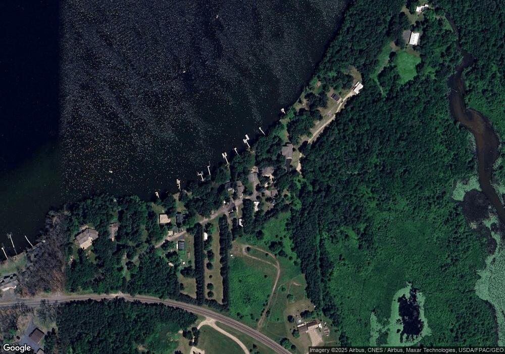
Map
Nearby Homes
- 2207 127th St
- 1290 220th Ave
- 2382 108th St
- 132 Hill Ave
- 2167 County Road C
- 102 206th St
- 2161 132nd St
- 1320 216th Ave
- XXX 100th St
- 1152 County Road C
- 2106 135th St
- Lot 6 220th Ave
- 223 202nd St
- 2118 100th St
- 1269 202nd Ave
- 931 218th Ave
- TBD County Road C
- 1256 195th Ave
- 342 Paulsen Lake Ct
- TBD Nighthawk Dr ( Apple River Lot) Lot 9
- 1246 S Cedar Dr
- 1246 S Cedar Dr
- 1238 S Cedar Dr
- 1242 S Cedar Dr
- 1248 S Cedar Dr
- 1236 S Cedar Dr
- 1234 S Cedar Dr
- 1232 S Cedar Dr
- 1228 S Cedar Dr
- 1230 S Cedar Dr
- 1250 S Cedar Dr
- 1206 H
- 1232 County Road H
- 1222 County Road H
- 1224 County Road H
- none County Road H
- XXXX County Road H
- 1239 County Road H
- 1236 County Road H
- 1220 County Road H