Estimated Value: $7,316,924
Studio
--
Bath
28,692
Sq Ft
$255/Sq Ft
Est. Value
About This Home
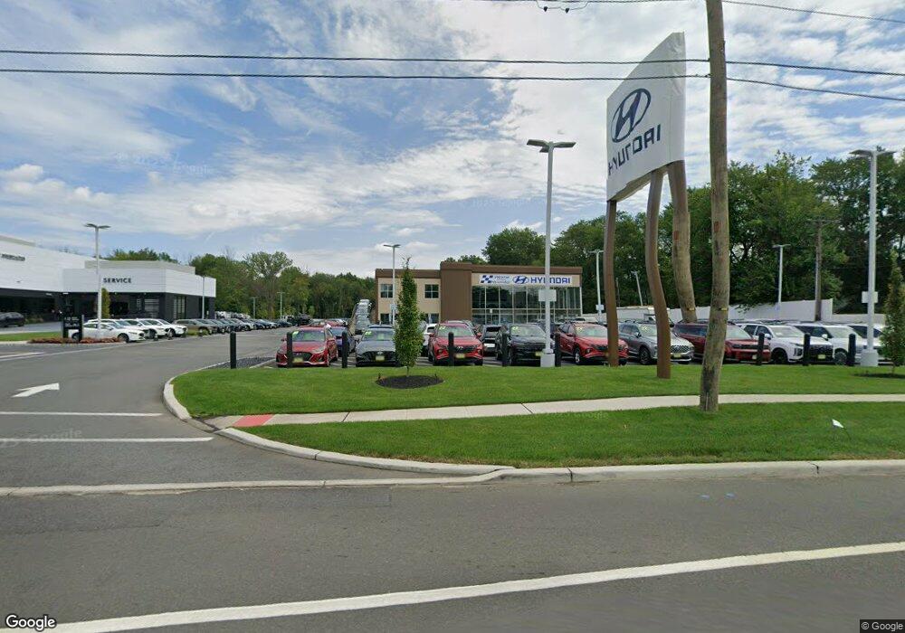
This home is located at 1244 State Route 23, Wayne, NJ 07470 and is currently estimated at $7,316,924, approximately $255 per square foot. 1244 State Route 23 is a home with nearby schools including Randall Carter School, George Washington Middle School, and Wayne Valley High School.
Ownership History
Date
Name
Owned For
Owner Type
Purchase Details
Closed on
Dec 13, 2022
Sold by
Route 23 Holding Realty Llc
Bought by
New Jersey Department Of Environmental Protec
Current Estimated Value
Purchase Details
Closed on
May 8, 2001
Sold by
Perlmar Realty Co
Bought by
Rt 23 Holding Llc
Create a Home Valuation Report for This Property
The Home Valuation Report is an in-depth analysis detailing your home's value as well as a comparison with similar homes in the area
Home Values in the Area
Average Home Value in this Area
Purchase History
| Date | Buyer | Sale Price | Title Company |
|---|---|---|---|
| New Jersey Department Of Environmental Protec | -- | -- | |
| Rt 23 Holding Llc | $2,800,000 | -- |
Source: Public Records
Mortgage History
| Date | Status | Borrower | Loan Amount |
|---|---|---|---|
| Closed | Rt 23 Holding Llc | $0 |
Source: Public Records
Tax History
| Year | Tax Paid | Tax Assessment Tax Assessment Total Assessment is a certain percentage of the fair market value that is determined by local assessors to be the total taxable value of land and additions on the property. | Land | Improvement |
|---|---|---|---|---|
| 2025 | $154,596 | $2,600,000 | $1,576,000 | $1,024,000 |
| 2024 | $148,668 | $2,600,000 | $1,576,000 | $1,024,000 |
| 2022 | $147,004 | $2,600,000 | $1,576,000 | $1,024,000 |
| 2021 | $146,848 | $2,600,000 | $1,576,000 | $1,024,000 |
| 2020 | $146,198 | $2,600,000 | $1,576,000 | $1,024,000 |
| 2019 | $143,364 | $2,600,000 | $1,576,000 | $1,024,000 |
| 2018 | $142,090 | $2,600,000 | $1,576,000 | $1,024,000 |
| 2017 | $151,620 | $2,800,000 | $1,576,000 | $1,224,000 |
| 2016 | $149,492 | $2,800,000 | $1,576,000 | $1,224,000 |
| 2015 | $147,700 | $2,800,000 | $1,576,000 | $1,224,000 |
| 2014 | $143,528 | $2,800,000 | $1,576,000 | $1,224,000 |
Source: Public Records
Map
Nearby Homes
- 25-27 Newark Pompton Turnpike
- 10 Winonah Ave
- 193 Newark Pompton Turnpike
- 201 Newark Pompton Turnpike
- 16 Gressinger Rd
- 108 Packanack Lake Rd
- 27 Archung Rd
- 109 Monmouth Ave
- 31 Brookside Rd
- 2 Brookside Rd
- 53 Laurel Dr
- 208 Fayette Ave
- 450 Boonton Turnpike
- 35 Beechwood Dr
- 249 Parish Dr
- 14 Oneida Trail
- 63 Chestnut Dr
- 62 Pine Brook Rd
- 310 Boulevard Dr
- 30 S Valley Rd
- 33 New York Ave
- 35 New York Ave
- 29 New York Ave
- 27 New York Ave
- 41 New York Ave
- 1200 State Route 23
- 34 New York Ave
- 45 New York Ave
- 30 New York Ave
- 38 New York Ave
- 16 Nostrand Ave
- 12 Franklin Ave
- 49 New York Ave
- 46 New York Ave
- 1217 State Route 23
- 26 New York Ave
- 1241 State Route 23
- 11 Nostrand Ave
- 12 Nostrand Ave
- 51 New York Ave
Your Personal Tour Guide
Ask me questions while you tour the home.