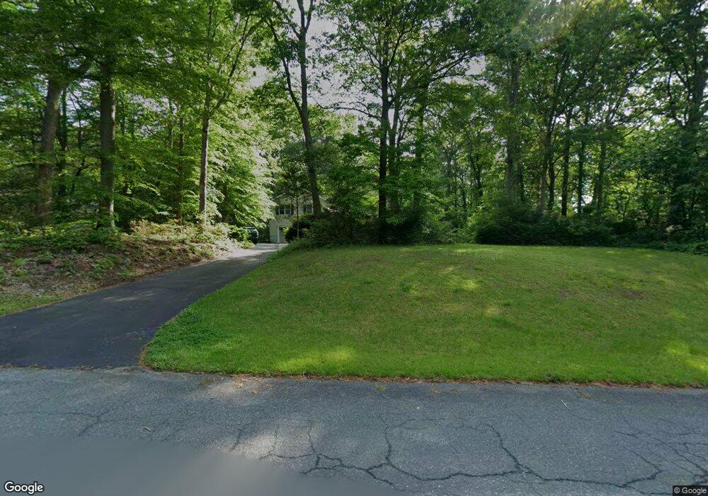
1244 Vintage Dr Harwood, MD 20776
Harwood NeighborhoodEstimated Value: $539,789 - $633,000
--
Bed
2
Baths
1,812
Sq Ft
$321/Sq Ft
Est. Value
About This Home
This home is located at 1244 Vintage Dr, Harwood, MD 20776 and is currently estimated at $580,947, approximately $320 per square foot. 1244 Vintage Dr is a home located in Anne Arundel County with nearby schools including Lothian Elementary School, Southern Middle School, and Southern High School.
Ownership History
Date
Name
Owned For
Owner Type
Purchase Details
Closed on
Dec 22, 1998
Sold by
Moreland Timothy L
Bought by
Mitchell Robert G
Current Estimated Value
Purchase Details
Closed on
Dec 13, 1993
Sold by
Bauer Est
Bought by
Moreland Timothy L
Home Financials for this Owner
Home Financials are based on the most recent Mortgage that was taken out on this home.
Original Mortgage
$142,500
Interest Rate
6.78%
Create a Home Valuation Report for This Property
The Home Valuation Report is an in-depth analysis detailing your home's value as well as a comparison with similar homes in the area
Home Values in the Area
Average Home Value in this Area
Purchase History
| Date | Buyer | Sale Price | Title Company |
|---|---|---|---|
| Mitchell Robert G | $156,000 | -- | |
| Moreland Timothy L | $150,000 | -- |
Source: Public Records
Mortgage History
| Date | Status | Borrower | Loan Amount |
|---|---|---|---|
| Previous Owner | Moreland Timothy L | $142,500 | |
| Closed | Mitchell Robert G | -- |
Source: Public Records
Tax History Compared to Growth
Tax History
| Year | Tax Paid | Tax Assessment Tax Assessment Total Assessment is a certain percentage of the fair market value that is determined by local assessors to be the total taxable value of land and additions on the property. | Land | Improvement |
|---|---|---|---|---|
| 2025 | $3,564 | $461,300 | -- | -- |
| 2024 | $3,564 | $440,700 | $0 | $0 |
| 2023 | $3,453 | $420,100 | $230,000 | $190,100 |
| 2022 | $3,244 | $416,767 | $0 | $0 |
| 2021 | $1,647 | $413,433 | $0 | $0 |
| 2020 | $3,111 | $410,100 | $230,000 | $180,100 |
| 2019 | $3,038 | $380,200 | $0 | $0 |
| 2018 | $3,552 | $350,300 | $0 | $0 |
| 2017 | $2,822 | $320,400 | $0 | $0 |
| 2016 | -- | $317,300 | $0 | $0 |
| 2015 | -- | $314,200 | $0 | $0 |
| 2014 | -- | $311,100 | $0 | $0 |
Source: Public Records
Map
Nearby Homes
- 812 Richardson Dr
- 17436 Claggett Landing Rd
- 17905 Queen Anne Rd
- 1527 Patuxent Manor Rd
- 1544 Manor View Rd
- 18106 B Central Ave
- 3732 Nile Rd
- 1008 W Central Ave
- 1575 Alcova Dr
- 3501 Foxhall Dr
- 213 King James Rd
- 873 Benjamin Branch
- 1500, 1501, 1504 Cogar Rd
- 4320 Solomons Island Rd
- 4485 Old Solomons Island Rd
- 4440 Claybrooke Dr
- 210 Queen Marie Ct
- 116 Prospect Dr
- 1080 Mount Airy Rd
- 21 Treiber Ln
- 1246 Vintage Dr
- 1219 Sandalwood Rd
- 1221 Sandalwood Rd
- 1223 Sandalwood Rd
- 1224 Sandalwood Rd
- 1249 Vintage Dr
- 1251 Vintage Dr
- 1225 Sandalwood Rd
- 1226 Sandalwood Rd
- 1253 Vintage Dr
- 1250 Vintage Dr
- 843 Harwood Rd
- 845 Harwood Rd
- 1227 Sandalwood Rd
- 1228 Sandalwood Rd
- 849 Harwood Rd
- 849 Harwood Rd
- 1255 Vintage Dr
- 1229 Sandalwood Rd
- 841 Harwood Rd