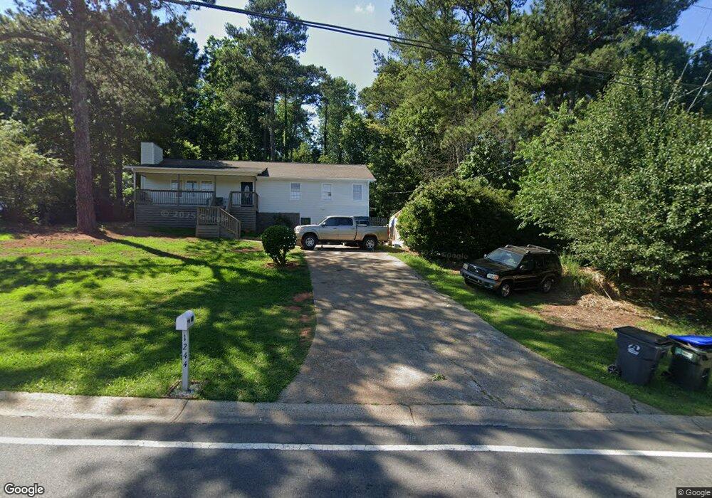
1244 W Wylie Bridge Rd Woodstock, GA 30188
Estimated Value: $387,000 - $395,673
4
Beds
2
Baths
2,860
Sq Ft
$137/Sq Ft
Est. Value
About This Home
This home is located at 1244 W Wylie Bridge Rd, Woodstock, GA 30188 and is currently estimated at $391,337, approximately $136 per square foot. 1244 W Wylie Bridge Rd is a home located in Cherokee County with nearby schools including Little River Elementary, Mill Creek Middle School, and River Ridge High School.
Ownership History
Date
Name
Owned For
Owner Type
Purchase Details
Closed on
Jul 30, 1999
Sold by
Myers Jeffrey E
Bought by
Myers Sydnay D
Current Estimated Value
Home Financials for this Owner
Home Financials are based on the most recent Mortgage that was taken out on this home.
Original Mortgage
$148,800
Outstanding Balance
$41,449
Interest Rate
7.73%
Estimated Equity
$349,888
Purchase Details
Closed on
Jul 9, 1999
Sold by
Ake David N and Ake Karen L
Bought by
Astorga Maria
Home Financials for this Owner
Home Financials are based on the most recent Mortgage that was taken out on this home.
Original Mortgage
$148,800
Outstanding Balance
$41,449
Interest Rate
7.73%
Estimated Equity
$349,888
Purchase Details
Closed on
Oct 10, 1997
Sold by
Ake Tim E and Ake Carol F
Bought by
Ake David N and Ake Karen L
Create a Home Valuation Report for This Property
The Home Valuation Report is an in-depth analysis detailing your home's value as well as a comparison with similar homes in the area
Home Values in the Area
Average Home Value in this Area
Purchase History
| Date | Buyer | Sale Price | Title Company |
|---|---|---|---|
| Myers Sydnay D | -- | -- | |
| Astorga Maria | $115,000 | -- | |
| Ake David N | $85,000 | -- |
Source: Public Records
Mortgage History
| Date | Status | Borrower | Loan Amount |
|---|---|---|---|
| Open | Myers Sydnay D | $148,800 | |
| Previous Owner | Astorga Maria | $114,941 |
Source: Public Records
Tax History Compared to Growth
Tax History
| Year | Tax Paid | Tax Assessment Tax Assessment Total Assessment is a certain percentage of the fair market value that is determined by local assessors to be the total taxable value of land and additions on the property. | Land | Improvement |
|---|---|---|---|---|
| 2025 | $969 | $146,460 | $34,000 | $112,460 |
| 2024 | $931 | $123,500 | $27,600 | $95,900 |
| 2023 | $3,017 | $116,100 | $27,600 | $88,500 |
| 2022 | $2,930 | $111,460 | $26,000 | $85,460 |
| 2021 | $2,531 | $89,140 | $18,000 | $71,140 |
| 2020 | $2,301 | $80,980 | $15,200 | $65,780 |
| 2019 | $2,002 | $70,440 | $15,200 | $55,240 |
| 2018 | $1,814 | $63,440 | $15,200 | $48,240 |
| 2017 | $1,703 | $147,800 | $12,800 | $46,320 |
| 2016 | $1,635 | $140,400 | $12,800 | $43,360 |
| 2015 | $1,576 | $134,000 | $11,200 | $42,400 |
| 2014 | $1,422 | $120,700 | $11,200 | $37,080 |
Source: Public Records
Map
Nearby Homes
- 1246 W Wylie Bridge Rd
- 1242 W Wylie Bridge Rd
- 324 Pioneer Cir
- 1248 W Wylie Bridge Rd
- 155 Pioneer Dr
- 326 Pioneer Cir
- 1240 W Wylie Bridge Rd
- 154 Pioneer Dr
- 320 Pioneer Cir
- 1250 W Wylie Bridge Rd
- 0 Pioneer Cir Unit 8800972
- 0 Pioneer Cir Unit 8360211
- 0 Pioneer Cir Unit 7146516
- 318 Pioneer Cir
- 153 Pioneer Dr
- 1247 W Wylie Bridge Rd
- 1239 W Wylie Bridge Rd
- 1252 W Wylie Bridge Rd
- 331 Pioneer Cir
- 152 Pioneer Dr