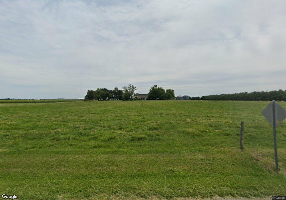
12441 Vansants Corner Rd Kennedyville, MD 21645
Estimated Value: $755,000 - $1,144,896
--
Bed
4
Baths
2,728
Sq Ft
$325/Sq Ft
Est. Value
About This Home
This home is located at 12441 Vansants Corner Rd, Kennedyville, MD 21645 and is currently estimated at $885,299, approximately $324 per square foot. 12441 Vansants Corner Rd is a home located in Kent County with nearby schools including Kent County Middle School and Kent County High School.
Ownership History
Date
Name
Owned For
Owner Type
Purchase Details
Closed on
Sep 5, 2007
Sold by
Crow Helen M Trustee
Bought by
Crow Roy W
Current Estimated Value
Purchase Details
Closed on
Jul 18, 2007
Sold by
Crow Helen M Trustee
Bought by
Crow Roy W
Purchase Details
Closed on
May 1, 2007
Sold by
Crow Helen M
Bought by
Crow Helen M Trustee
Purchase Details
Closed on
Apr 18, 1997
Sold by
Crow Helen M
Bought by
Crow Helen M Trustee
Purchase Details
Closed on
Feb 1, 1996
Sold by
Crow Robert T and Crow Helen M
Bought by
Crow Helen M
Create a Home Valuation Report for This Property
The Home Valuation Report is an in-depth analysis detailing your home's value as well as a comparison with similar homes in the area
Home Values in the Area
Average Home Value in this Area
Purchase History
| Date | Buyer | Sale Price | Title Company |
|---|---|---|---|
| Crow Roy W | -- | -- | |
| Crow Roy W | -- | -- | |
| Crow Helen M Trustee | -- | -- | |
| Crow Helen M Trustee | -- | -- | |
| Crow Helen M | -- | -- | |
| Crow Helen M & Trustee | -- | -- |
Source: Public Records
Tax History Compared to Growth
Tax History
| Year | Tax Paid | Tax Assessment Tax Assessment Total Assessment is a certain percentage of the fair market value that is determined by local assessors to be the total taxable value of land and additions on the property. | Land | Improvement |
|---|---|---|---|---|
| 2025 | $6,791 | $596,600 | $0 | $0 |
| 2024 | $6,489 | $566,100 | $0 | $0 |
| 2023 | $6,194 | $535,600 | $108,700 | $426,900 |
| 2022 | $4,733 | $410,367 | $0 | $0 |
| 2021 | $4,428 | $395,133 | $0 | $0 |
| 2020 | $4,428 | $379,900 | $108,700 | $271,200 |
| 2019 | $4,428 | $379,900 | $108,700 | $271,200 |
| 2018 | $4,428 | $379,900 | $108,700 | $271,200 |
| 2017 | $4,857 | $417,700 | $0 | $0 |
| 2016 | -- | $415,233 | $0 | $0 |
| 2015 | $4,386 | $412,767 | $0 | $0 |
| 2014 | $4,386 | $410,300 | $0 | $0 |
Source: Public Records
Map
Nearby Homes
- 29380 Old Locust Grove Rd
- 30205 Morgnec Rd
- 119 Cedarwood Dr
- 228 Phelps Ave
- 31569 Jim Davis Rd
- 29341 Glencoe Rd
- 0 Olivet Hill Rd
- 11969 Augustine Herman Hwy
- 0 Olivet Hill Cir
- 11944 Augustine Herman Hwy
- Tax Map 31, Parcel 8 Chesterville Forest Rd
- 0 Chesterville Forest Rd Unit PARCEL 73
- 0 Chesterville Forest Rd Unit PARCEL 84A
- 0 Chesterville Forest Rd Unit PARCEL 60
- 10669 Chesterville Forest Rd
- 13983 Turners Point Rd
- 11960 Flour Mill St
- 0 Anglewood Rd
- 28781 Valley Rd
- 0 Carroll Clark Rd Unit MDKE2004182
- 12441 Vansants Corner Rd
- 12395 Vansants Corner Rd
- 12625 Vansants Corner Rd
- 12506 Vansants Corner Rd
- 12246 Locust Grove Rd
- 12120 Locust Grove Rd
- 12085 Locust Grove Rd
- 11974 Blacks Station Rd
- 12061 Locust Grove Rd
- 12089 Blacks Station Rd
- 12051 Locust Grove Rd
- 12845 Vansants Corner Rd
- 12030 Locust Grove Rd
- 12859 Vansants Corner Rd
- 11927 Locust Grove Rd
- 12945 Vansants Corner Rd