12442 Mulligan Dr Mc Calla, AL 35111
Estimated Value: $207,000 - $251,000
3
Beds
1
Bath
1,252
Sq Ft
$179/Sq Ft
Est. Value
About This Home
This home is located at 12442 Mulligan Dr, Mc Calla, AL 35111 and is currently estimated at $224,620, approximately $179 per square foot. 12442 Mulligan Dr is a home located in Tuscaloosa County with nearby schools including Lake View Elementary School, Brookwood Middle School, and Brookwood High School.
Ownership History
Date
Name
Owned For
Owner Type
Purchase Details
Closed on
Dec 5, 2022
Sold by
Roper Phillip
Bought by
Roper Melissa
Current Estimated Value
Create a Home Valuation Report for This Property
The Home Valuation Report is an in-depth analysis detailing your home's value as well as a comparison with similar homes in the area
Home Values in the Area
Average Home Value in this Area
Purchase History
| Date | Buyer | Sale Price | Title Company |
|---|---|---|---|
| Roper Melissa | $121,000 | Source Title | |
| Roper Melissa | $121,000 | Source Title |
Source: Public Records
Tax History Compared to Growth
Tax History
| Year | Tax Paid | Tax Assessment Tax Assessment Total Assessment is a certain percentage of the fair market value that is determined by local assessors to be the total taxable value of land and additions on the property. | Land | Improvement |
|---|---|---|---|---|
| 2024 | $309 | $26,380 | $2,000 | $24,380 |
| 2023 | $309 | $24,960 | $2,000 | $22,960 |
| 2022 | $280 | $24,160 | $2,000 | $22,160 |
| 2021 | $248 | $21,840 | $2,000 | $19,840 |
| 2020 | $247 | $10,890 | $1,000 | $9,890 |
| 2019 | $215 | $9,700 | $1,000 | $8,700 |
| 2018 | $215 | $9,700 | $1,000 | $8,700 |
| 2017 | $219 | $0 | $0 | $0 |
| 2016 | $214 | $0 | $0 | $0 |
| 2015 | $219 | $0 | $0 | $0 |
| 2014 | $219 | $9,860 | $1,000 | $8,860 |
Source: Public Records
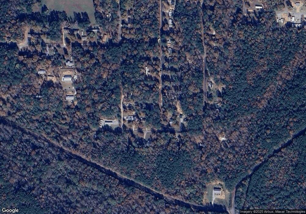
Map
Nearby Homes
- 8 Marshall Dr
- 25 Marshall Dr
- 20333 Tanya Dr
- 9 Mark Dr
- 0 Sandy Dr Unit 69 21420182
- 20367 Castle Ridge Rd Unit 126
- 20379 Castle Ridge Rd Unit 122
- 20391 Castle Ridge Rd Unit 122
- 20456 Hephzibah Church Rd
- 00 Danny Dr
- 11 Sandy Dr
- 12765 Teddy Dr
- 0 Teddy Dr Unit 7 21411900
- 0 Teddy Dr Unit 165468
- 12682 Woodland Lake Rd
- 12449 Randy Dr
- 12690 Woodland Lake Rd
- 00 Christina Dr
- 9 Christina Dr
- 10 Christina Dr
- 12427 Jerry Dr
- 12450 Mulligan Dr
- 0 Margie Dr Unit 14
- 12451 Mulligan Dr
- 12447 Mulligan Dr
- 20436 Margie Dr
- 12599 Jerry Dr
- 12461 Mulligan Dr
- 20433 Margie Dr
- 12468 Mulligan Dr
- 12469 Mulligan Dr
- 12477 Mulligan Dr
- 12484 Mulligan Dr
- 12487 Jerry Dr
- 12485 Mulligan Dr
- 12495 Mulligan Dr
- 0 Mark Dr Unit 8 1354415
- 0 Mark Dr
- 12497 Jerry Dr
- 20292 Mark Dr