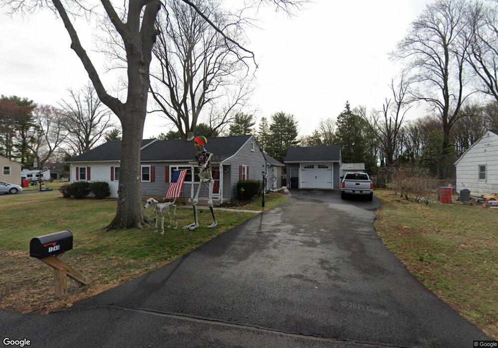
1245 Benn Ln Warminster, PA 18974
Estimated Value: $437,755 - $486,000
2
Beds
2
Baths
1,574
Sq Ft
$293/Sq Ft
Est. Value
About This Home
This home is located at 1245 Benn Ln, Warminster, PA 18974 and is currently estimated at $461,189, approximately $293 per square foot. 1245 Benn Ln is a home located in Bucks County with nearby schools including McDonald Elementary School, Log College Middle School, and William Tennent High School.
Ownership History
Date
Name
Owned For
Owner Type
Purchase Details
Closed on
Aug 22, 2017
Sold by
Vandergrift Patricia N and Vandergrift Kimberly A
Bought by
Vandergrift Kimberly Ann and Clark Melinda Lee
Current Estimated Value
Home Financials for this Owner
Home Financials are based on the most recent Mortgage that was taken out on this home.
Original Mortgage
$175,000
Outstanding Balance
$146,024
Interest Rate
3.96%
Mortgage Type
New Conventional
Estimated Equity
$315,165
Purchase Details
Closed on
Jan 29, 1958
Sold by
Hoglund Roy E and Hoglund Martha E
Bought by
Vandergrift Richard M and Vandergrift Patricia N
Create a Home Valuation Report for This Property
The Home Valuation Report is an in-depth analysis detailing your home's value as well as a comparison with similar homes in the area
Home Values in the Area
Average Home Value in this Area
Purchase History
| Date | Buyer | Sale Price | Title Company |
|---|---|---|---|
| Vandergrift Kimberly Ann | -- | Properties Abstract Inc | |
| Vandergrift Richard M | -- | -- |
Source: Public Records
Mortgage History
| Date | Status | Borrower | Loan Amount |
|---|---|---|---|
| Open | Vandergrift Kimberly Ann | $175,000 |
Source: Public Records
Tax History Compared to Growth
Tax History
| Year | Tax Paid | Tax Assessment Tax Assessment Total Assessment is a certain percentage of the fair market value that is determined by local assessors to be the total taxable value of land and additions on the property. | Land | Improvement |
|---|---|---|---|---|
| 2025 | $4,358 | $20,650 | $3,360 | $17,290 |
| 2024 | $4,358 | $20,650 | $3,360 | $17,290 |
| 2023 | $4,224 | $20,650 | $3,360 | $17,290 |
| 2022 | $4,134 | $20,650 | $3,360 | $17,290 |
| 2021 | $4,038 | $20,650 | $3,360 | $17,290 |
| 2020 | $3,981 | $20,650 | $3,360 | $17,290 |
| 2019 | $3,770 | $20,650 | $3,360 | $17,290 |
| 2018 | $3,350 | $18,800 | $3,360 | $15,440 |
| 2017 | $3,252 | $18,800 | $3,360 | $15,440 |
| 2016 | $3,252 | $18,800 | $3,360 | $15,440 |
| 2015 | $3,239 | $18,800 | $3,360 | $15,440 |
| 2014 | $3,239 | $18,800 | $3,360 | $15,440 |
Source: Public Records
Map
Nearby Homes
- 56 Parry Way
- 55 Parry Way
- 11 Lincoln Ave
- 59 Parry Way
- The Addis Plan at The Reserve at Spring Mill
- The Beckett Plan at The Reserve at Spring Mill
- 10 Spring Mill Dr
- 11 Spring Mill Dr
- 9 Spring Mill Dr
- 18 Lacey Ln
- 8 Lacey Ln
- 146 Grandview Dr
- 109 Wilson Ave
- 1297 Twin Streams Dr
- 451 Twin Streams Dr
- 290 Hatboro Rd
- 1070 Decker Ln
- 667 Arbor Ln
- 130 E Street Rd
- 223 Cecelia Acres Dr