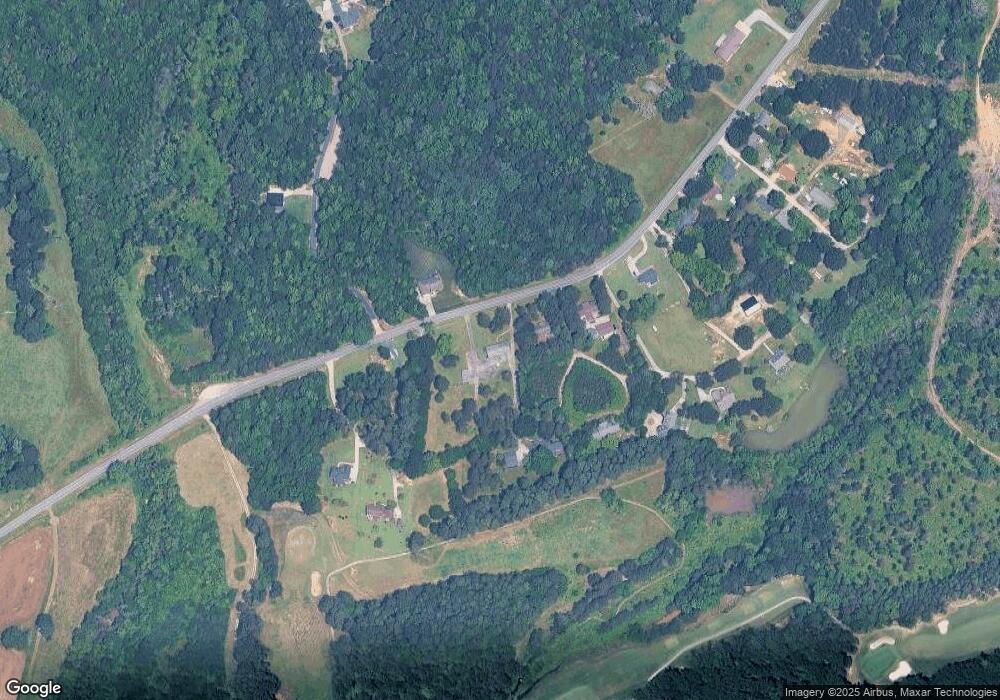
1245 Cannon Farm Rd China Grove, NC 28023
Estimated Value: $343,000 - $366,000
--
Bed
3
Baths
2,000
Sq Ft
$177/Sq Ft
Est. Value
About This Home
This home is located at 1245 Cannon Farm Rd, China Grove, NC 28023 and is currently estimated at $353,708, approximately $176 per square foot. 1245 Cannon Farm Rd is a home located in Rowan County with nearby schools including Landis Elementary School, Corriher Lipe Middle School, and South Rowan High School.
Ownership History
Date
Name
Owned For
Owner Type
Purchase Details
Closed on
Jul 21, 2023
Sold by
London Family Trust
Bought by
Edwards Matthew and Edwards Keeley B
Current Estimated Value
Home Financials for this Owner
Home Financials are based on the most recent Mortgage that was taken out on this home.
Original Mortgage
$252,000
Outstanding Balance
$245,899
Interest Rate
6.71%
Mortgage Type
New Conventional
Estimated Equity
$107,809
Purchase Details
Closed on
Mar 31, 2005
Sold by
London Robert L and London Helen N
Bought by
London Robert L and London Helen N
Create a Home Valuation Report for This Property
The Home Valuation Report is an in-depth analysis detailing your home's value as well as a comparison with similar homes in the area
Home Values in the Area
Average Home Value in this Area
Purchase History
| Date | Buyer | Sale Price | Title Company |
|---|---|---|---|
| Edwards Matthew | $315,000 | None Listed On Document | |
| London Robert L | -- | -- |
Source: Public Records
Mortgage History
| Date | Status | Borrower | Loan Amount |
|---|---|---|---|
| Open | Edwards Matthew | $252,000 |
Source: Public Records
Tax History Compared to Growth
Tax History
| Year | Tax Paid | Tax Assessment Tax Assessment Total Assessment is a certain percentage of the fair market value that is determined by local assessors to be the total taxable value of land and additions on the property. | Land | Improvement |
|---|---|---|---|---|
| 2025 | $1,895 | $287,160 | $53,377 | $233,783 |
| 2024 | $2,225 | $337,164 | $103,381 | $233,783 |
| 2023 | $2,225 | $337,164 | $103,381 | $233,783 |
| 2022 | $1,685 | $228,472 | $86,068 | $142,404 |
| 2021 | $1,685 | $228,472 | $86,068 | $142,404 |
| 2020 | $1,685 | $228,472 | $86,068 | $142,404 |
| 2019 | $1,685 | $228,472 | $86,068 | $142,404 |
| 2018 | $1,474 | $201,538 | $86,067 | $115,471 |
| 2017 | $1,474 | $201,538 | $86,067 | $115,471 |
| 2016 | $1,454 | $201,538 | $86,067 | $115,471 |
| 2015 | $1,477 | $201,538 | $86,067 | $115,471 |
| 2014 | $1,492 | $207,228 | $86,067 | $121,161 |
Source: Public Records
Map
Nearby Homes
- 2319 Tullymore Dr Unit 39
- 859 Irish Creek Dr
- 959 Tamary Way Unit 29/30
- 843 Fairway Dr Unit 44
- 813 S Zion St
- 991 Fairway Dr
- 185 Homer Corriher Rd
- 3796 Enochville Rd
- 268 Laurel Crest Dr
- 1725 Saw Rd
- 515 Rosemont Ave
- 1109 S Highland Ave
- 604 S Zion St
- 2280 Cannon Farm Rd
- 2885 Vale Ave
- 2909 Glendale Ave
- 703 S Main St
- 0 W Ridge Ave
- 00 E Rice St
- 407 W Mill St
- 1225 Cannon Farm Rd
- 1215 Cannon Farm Rd
- 1265 Cannon Farm Rd
- 1270 Cannon Farm Rd
- 1255 Cannon Farm Rd
- 1165 Cannon Farm Rd
- 1259 Cannon Farm Rd
- 1343 Cannon Farm Rd
- 1275 Cannon Farm Rd
- 1159 Cannon Farm Rd
- 1145 Cannon Farm Rd
- 1125 Cannon Farm Rd
- 1155 Cannon Farm Rd
- 125 Gulledge St
- 1115 Cannon Farm Rd
- 155 Gulledge St
- 165 Gulledge St
- 0 Cannon Farm Rd
- 1065 Cannon Farm Rd
- 1060 Cannon Farm Rd
