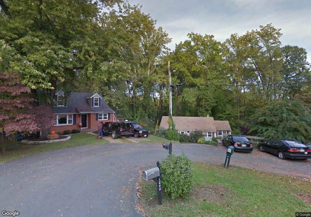
1245 Maple Rd Arnold, MD 21012
Estimated Value: $488,000 - $532,000
Studio
3
Baths
1,336
Sq Ft
$380/Sq Ft
Est. Value
About This Home
This home is located at 1245 Maple Rd, Arnold, MD 21012 and is currently estimated at $507,881, approximately $380 per square foot. 1245 Maple Rd is a home located in Anne Arundel County with nearby schools including Arnold Elementary School, Severn River Middle School, and Broadneck High School.
Ownership History
Date
Name
Owned For
Owner Type
Purchase Details
Closed on
Jun 13, 2022
Sold by
Keith Goldman William
Bought by
Goldman William Keith and Goldman Cathy Lynn
Current Estimated Value
Purchase Details
Closed on
Oct 14, 2004
Sold by
Goldman William K
Bought by
Goldman William K and Goldman Cathy L
Purchase Details
Closed on
Apr 2, 1993
Sold by
Richards Bruce O
Bought by
Goldman William K
Home Financials for this Owner
Home Financials are based on the most recent Mortgage that was taken out on this home.
Original Mortgage
$105,000
Interest Rate
7.53%
Create a Home Valuation Report for This Property
The Home Valuation Report is an in-depth analysis detailing your home's value as well as a comparison with similar homes in the area
Home Values in the Area
Average Home Value in this Area
Purchase History
| Date | Buyer | Sale Price | Title Company |
|---|---|---|---|
| Goldman William Keith | -- | None Listed On Document | |
| Goldman William K | -- | -- | |
| Goldman William K | $132,000 | -- |
Source: Public Records
Mortgage History
| Date | Status | Borrower | Loan Amount |
|---|---|---|---|
| Previous Owner | Goldman William K | $105,000 |
Source: Public Records
Tax History
| Year | Tax Paid | Tax Assessment Tax Assessment Total Assessment is a certain percentage of the fair market value that is determined by local assessors to be the total taxable value of land and additions on the property. | Land | Improvement |
|---|---|---|---|---|
| 2025 | $5,292 | $468,600 | -- | -- |
| 2024 | $5,292 | $437,400 | $288,400 | $149,000 |
| 2023 | $5,172 | $430,233 | $0 | $0 |
| 2022 | $4,851 | $423,067 | $0 | $0 |
| 2020 | $2,900 | $398,633 | $0 | $0 |
| 2019 | $2,842 | $381,367 | $0 | $0 |
| 2018 | $3,692 | $364,100 | $202,500 | $161,600 |
| 2017 | $2,666 | $350,500 | $0 | $0 |
| 2016 | -- | $336,900 | $0 | $0 |
| 2015 | -- | $323,300 | $0 | $0 |
| 2014 | -- | $323,300 | $0 | $0 |
Source: Public Records
Map
Nearby Homes
- 1232 Taylor Ave
- 1294 Circle Dr
- 1350 Ritchie Hwy
- 1277 Ritchie Hwy Unit 195
- 1199 Asquithpines Place
- 394 Kings College Dr
- 1394 Baltimore Annapolis Blvd
- 1396 Baltimore Annapolis Blvd
- 208 Admirals Ct
- 1078 Brightleaf Ct
- 136 Collington Ct
- 303 Ternwing Dr
- 93 Jones Station Rd
- 1420 Mariner Dr
- 1420 Gilbert Rd
- 1419 Mariner Dr
- 276 Overleaf Dr
- 785 Macsherry Dr
- 1230 Balfour Dr
- 371 Freshfield Ln
- 1247 Maple Rd
- 1240 Maple Rd
- 18 Elmridge Rd
- 1206 Finneans Run
- 16 Elmridge Rd
- 1249 Maple Rd
- 1242 Maple Rd
- 17 Beechwood Rd
- 14 Elmridge Rd
- 15 Beechwood Rd
- 19 Beechwood Rd
- 1244 Maple Rd
- 20 Elmridge Rd
- 13 Beechwood Rd
- 1208 Finneans Run
- 1246 Maple Rd
- 71 Brooks Rd
- 11 Beechwood Rd
- 1251 Maple Rd
- 1248 Maple Rd
Your Personal Tour Guide
Ask me questions while you tour the home.