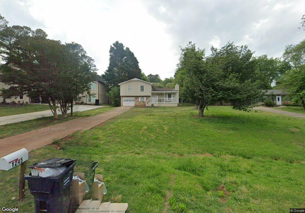
1245 Monfort Rd Unit 3 Lawrenceville, GA 30046
Estimated Value: $314,560 - $345,000
3
Beds
2
Baths
1,451
Sq Ft
$225/Sq Ft
Est. Value
About This Home
This home is located at 1245 Monfort Rd Unit 3, Lawrenceville, GA 30046 and is currently estimated at $327,140, approximately $225 per square foot. 1245 Monfort Rd Unit 3 is a home located in Gwinnett County with nearby schools including Benefield Elementary School, Richards Middle School, and Discovery High School.
Ownership History
Date
Name
Owned For
Owner Type
Purchase Details
Closed on
Oct 2, 2018
Sold by
Bryson Ronald E
Bought by
Alabsi Ghassan
Current Estimated Value
Purchase Details
Closed on
Sep 6, 2016
Sold by
Ronald E
Bought by
Bank Of America
Purchase Details
Closed on
Jun 1, 1998
Sold by
Ford Thomas J and Ford Beverly J
Bought by
Bryson Ronald E
Home Financials for this Owner
Home Financials are based on the most recent Mortgage that was taken out on this home.
Original Mortgage
$90,849
Interest Rate
7.14%
Create a Home Valuation Report for This Property
The Home Valuation Report is an in-depth analysis detailing your home's value as well as a comparison with similar homes in the area
Home Values in the Area
Average Home Value in this Area
Purchase History
| Date | Buyer | Sale Price | Title Company |
|---|---|---|---|
| Alabsi Ghassan | $126,000 | -- | |
| Bank Of America | $98,667 | -- | |
| Bryson Ronald E | $93,000 | -- |
Source: Public Records
Mortgage History
| Date | Status | Borrower | Loan Amount |
|---|---|---|---|
| Previous Owner | Bryson Ronald E | $90,849 |
Source: Public Records
Tax History Compared to Growth
Tax History
| Year | Tax Paid | Tax Assessment Tax Assessment Total Assessment is a certain percentage of the fair market value that is determined by local assessors to be the total taxable value of land and additions on the property. | Land | Improvement |
|---|---|---|---|---|
| 2024 | $4,556 | $119,120 | $21,120 | $98,000 |
| 2023 | $4,556 | $108,320 | $20,800 | $87,520 |
| 2022 | $0 | $92,960 | $20,800 | $72,160 |
| 2021 | $3,091 | $77,680 | $16,800 | $60,880 |
| 2020 | $2,846 | $70,480 | $14,400 | $56,080 |
| 2019 | $2,045 | $50,400 | $14,400 | $36,000 |
| 2018 | $790 | $58,360 | $12,080 | $46,280 |
| 2016 | $583 | $48,080 | $10,000 | $38,080 |
| 2015 | $594 | $34,120 | $7,200 | $26,920 |
| 2014 | -- | $34,120 | $7,200 | $26,920 |
Source: Public Records
Map
Nearby Homes
- 495 Buttercup Trail
- 1405 Chris Lake Dr
- 1115 Chris Lake Dr
- 1384 Sunrise Way
- 1469 Bridgestone Dr
- 1231 Providence Way
- 555 Sydney Crest Ln
- 652 Tower Hill Ct
- 398 Parc River Blvd
- 384 Parc River Blvd
- 912 Noble Oak Ct
- 2099 Riverlanding Cir Unit II
- 209 Towler Rd
- 593 Mill Run Place
- 1634 Lamancha Dr
- 142 Towler Rd
- 1584 Park Grove Dr
- 1239 Monfort Rd
- 1251 Monfort Rd
- 1257 Monfort Rd
- 1233 Monfort Rd Unit 2
- 527 Summerville Dr
- 537 Summerville Dr
- 517 Summerville Dr
- 547 Summerville Dr Unit 3
- 1263 Monfort Rd
- 1227 Monfort Rd
- 1250 Monfort Rd
- 507 Summerville Dr
- 1244 Monfort Rd
- 1256 Monfort Rd Unit 1
- 557 Summerville Dr
- 497 Summerville Dr
- 1269 Monfort Rd
- 1269 Monfort Rd Unit 12
- 1221 Monfort Rd Unit 3
- 1268 Monfort Rd