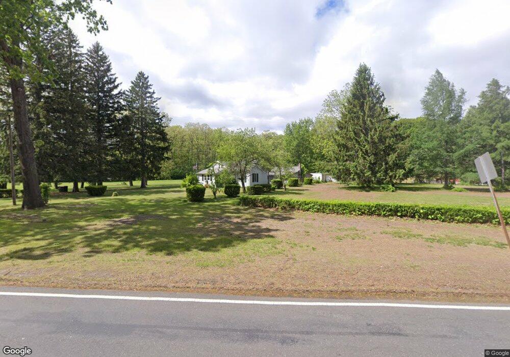
1245 N Westfield St Feeding Hills, MA 01030
Estimated Value: $344,000 - $389,000
3
Beds
3
Baths
1,394
Sq Ft
$269/Sq Ft
Est. Value
About This Home
This home is located at 1245 N Westfield St, Feeding Hills, MA 01030 and is currently estimated at $375,639, approximately $269 per square foot. 1245 N Westfield St is a home located in Hampden County with nearby schools including Agawam Junior High School, Agawam High School, and Saint Mary High School.
Ownership History
Date
Name
Owned For
Owner Type
Purchase Details
Closed on
Sep 8, 1972
Bought by
Moreau Raymond R and Moreau Marguerite P
Current Estimated Value
Create a Home Valuation Report for This Property
The Home Valuation Report is an in-depth analysis detailing your home's value as well as a comparison with similar homes in the area
Home Values in the Area
Average Home Value in this Area
Purchase History
| Date | Buyer | Sale Price | Title Company |
|---|---|---|---|
| Moreau Raymond R | -- | -- |
Source: Public Records
Mortgage History
| Date | Status | Borrower | Loan Amount |
|---|---|---|---|
| Open | Moreau Raymond R | $30,000 | |
| Closed | Moreau Raymond R | $67,000 | |
| Closed | Moreau Raymond R | $51,000 |
Source: Public Records
Tax History Compared to Growth
Tax History
| Year | Tax Paid | Tax Assessment Tax Assessment Total Assessment is a certain percentage of the fair market value that is determined by local assessors to be the total taxable value of land and additions on the property. | Land | Improvement |
|---|---|---|---|---|
| 2025 | $5,073 | $346,500 | $124,400 | $222,100 |
| 2024 | $4,928 | $338,900 | $124,400 | $214,500 |
| 2023 | $4,551 | $288,400 | $106,600 | $181,800 |
| 2022 | $4,607 | $286,000 | $106,600 | $179,400 |
| 2021 | $4,114 | $244,900 | $92,300 | $152,600 |
| 2020 | $4,017 | $238,700 | $90,500 | $148,200 |
| 2019 | $3,826 | $229,800 | $87,900 | $141,900 |
| 2018 | $3,525 | $212,200 | $78,400 | $133,800 |
| 2017 | $3,379 | $207,200 | $78,400 | $128,800 |
| 2016 | $3,309 | $204,500 | $78,400 | $126,100 |
| 2015 | $3,178 | $201,900 | $78,400 | $123,500 |
Source: Public Records
Map
Nearby Homes
- 0 E Mountain Rd
- 0 Feeding Hills Rd
- 103 Feeding Hills Rd
- 169 Chilson Rd
- 719 N West St
- 346 E Mountain Rd
- 8 Ridgeview Dr
- 123 Belknap Ave
- 139 Upper Beverly Hills
- 154 Forest Hill Rd
- 7 Brewster Rd
- 32 Lotus Ave
- 60 Shaker Rd
- 148 Craiwell Ave
- 17 Jeanne Marie Dr
- 242 Eastwood Dr
- 16 Locust St
- 22 Beech Hill Rd
- 258 Poplar Ave
- 260 Wolcott Ave
- 1237 N Westfield St
- 1259 N Westfield St
- 1229 N Westfield St
- 1267 N Westfield St
- 1221 N Westfield St
- 1253 N Westfield St
- 1213 N Westfield St
- 1207 N Westfield St
- 1201 N Westfield St
- 1085 N West St
- 1123 N Westfield St
- 1095 N West St
- 1157 N Westfield St
- 1091 N West St
- 1077 N West St
- 1149 N Westfield St Unit 1151
- 1069 N West St
- 1141 N Westfield St Unit 1143
- 1088 N West St
- 1133 N Westfield St Unit 1135