Estimated Value: $526,000
--
Bed
1
Bath
1,521
Sq Ft
$346/Sq Ft
Est. Value
About This Home
This home is located at 1245 Nesbit Rd, Odum, GA 31555 and is currently estimated at $526,000, approximately $345 per square foot. 1245 Nesbit Rd is a home located in Wayne County with nearby schools including Bacon Elementary School, Martha Puckett Middle School, and Wayne County High School.
Ownership History
Date
Name
Owned For
Owner Type
Purchase Details
Closed on
Oct 26, 2006
Sold by
Jones Janice J
Bought by
Waggoner Laura J
Current Estimated Value
Purchase Details
Closed on
Sep 1, 2003
Sold by
Smith Edward W
Bought by
Smith Ginger A
Purchase Details
Closed on
Jul 1, 1998
Bought by
Smith Edward W
Purchase Details
Closed on
Jun 1, 1998
Purchase Details
Closed on
Nov 1, 1994
Purchase Details
Closed on
Nov 1, 1981
Purchase Details
Closed on
Jun 1, 1980
Purchase Details
Closed on
Oct 1, 1978
Purchase Details
Closed on
Oct 1, 1975
Create a Home Valuation Report for This Property
The Home Valuation Report is an in-depth analysis detailing your home's value as well as a comparison with similar homes in the area
Home Values in the Area
Average Home Value in this Area
Purchase History
| Date | Buyer | Sale Price | Title Company |
|---|---|---|---|
| Waggoner Laura J | -- | -- | |
| Smith Ginger A | -- | -- | |
| Smith Edward W | -- | -- | |
| -- | $204,000 | -- | |
| -- | $58,000 | -- | |
| -- | $32,700 | -- | |
| -- | $28,500 | -- | |
| -- | -- | -- | |
| -- | -- | -- |
Source: Public Records
Tax History Compared to Growth
Tax History
| Year | Tax Paid | Tax Assessment Tax Assessment Total Assessment is a certain percentage of the fair market value that is determined by local assessors to be the total taxable value of land and additions on the property. | Land | Improvement |
|---|---|---|---|---|
| 2024 | $2,162 | $81,597 | $76,264 | $5,333 |
| 2023 | $2,381 | $144,438 | $85,160 | $59,278 |
| 2022 | $2,197 | $133,648 | $85,160 | $48,488 |
| 2021 | $2,129 | $127,527 | $85,160 | $42,367 |
| 2020 | $2,063 | $125,564 | $83,197 | $42,367 |
| 2019 | $2,107 | $125,564 | $83,197 | $42,367 |
| 2018 | $2,226 | $125,564 | $83,197 | $42,367 |
| 2017 | $1,898 | $125,564 | $83,197 | $42,367 |
| 2016 | $1,820 | $125,564 | $83,197 | $42,367 |
| 2014 | $1,793 | $125,564 | $83,197 | $42,367 |
| 2013 | -- | $42,366 | $0 | $42,366 |
Source: Public Records
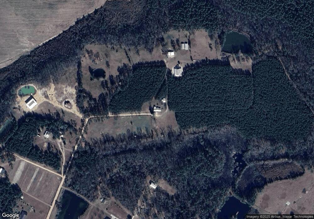
Map
Nearby Homes
- 96 Palm Tree Place
- 720 Kaitlyn Ave
- 818 Kaitlyn Ave
- 0 Red Oak Dr Unit 160341
- 0 Red Oak Dr Unit SA331365
- 31 Boardwalk Ave
- 141 Boardwalk Ave
- 67 Boardwalk Ave
- 98 Saint Simons St
- 2771 Odum Hwy
- 1 Palm Island Cir
- 0 Palm Island Cir
- 556 Caleb Cir
- Lot 1,2,3 Rayonier Rd
- 75 Woodlawn Dr
- 143 Caleb Cir
- 95 Mayflower Rd
- 131 Mill Creek Ln
- 876 Hires Rd
- 1081 Nesbit Rd
- 1061 Nesbit Rd
- 290 Deerwood Estate
- 227 Tom Beaver Rd
- 1021 Nesbit Rd
- 294 Deerwood Estate
- 245 Deerwood Estate
- 298 Deerwood Estate
- 230 Deerwood Estate
- 250 Earl Boykin Rd
- 2065 Red Hill Rd
- 599 Foxwood Dr
- 2032 Tank Rd
- 873 Nesbit Rd
- 821 Nesbit Rd
- 535 Foxwood Dr
- 957 Nesbit Rd
- 399 Foxwood Dr
- 216 Earl Boykin Rd
- 577 Foxwood Dr