1245 Port Stanley Rd Lopez Island, WA 98261
Estimated Value: $1,474,000 - $1,806,000
4
Beds
3
Baths
2,547
Sq Ft
$639/Sq Ft
Est. Value
About This Home
This home is located at 1245 Port Stanley Rd, Lopez Island, WA 98261 and is currently estimated at $1,626,409, approximately $638 per square foot. 1245 Port Stanley Rd is a home located in San Juan County with nearby schools including Lopez Elementary School and Lopez Middle High School.
Ownership History
Date
Name
Owned For
Owner Type
Purchase Details
Closed on
Feb 5, 2018
Sold by
Affolter Paul H and Affolter Kristin E
Bought by
Affoleter Paul H and Affoleter Kristin E
Current Estimated Value
Home Financials for this Owner
Home Financials are based on the most recent Mortgage that was taken out on this home.
Original Mortgage
$246,126
Outstanding Balance
$207,488
Interest Rate
3.9%
Mortgage Type
New Conventional
Estimated Equity
$1,418,921
Purchase Details
Closed on
Jan 10, 2018
Sold by
Affolter Paul H and Affolter Kristin A
Bought by
Affolter Paul H and Affolter Kristin E
Home Financials for this Owner
Home Financials are based on the most recent Mortgage that was taken out on this home.
Original Mortgage
$246,126
Outstanding Balance
$207,488
Interest Rate
3.9%
Mortgage Type
New Conventional
Estimated Equity
$1,418,921
Purchase Details
Closed on
Oct 29, 2015
Sold by
Affolter Paul H and Affolter Krisiln E
Bought by
Paul & Kristin Affolter Living Trust
Create a Home Valuation Report for This Property
The Home Valuation Report is an in-depth analysis detailing your home's value as well as a comparison with similar homes in the area
Home Values in the Area
Average Home Value in this Area
Purchase History
| Date | Buyer | Sale Price | Title Company |
|---|---|---|---|
| Affoleter Paul H | -- | None Available | |
| Affolter Paul H | -- | Chicago Title | |
| Paul & Kristin Affolter Living Trust | -- | Chicago Title |
Source: Public Records
Mortgage History
| Date | Status | Borrower | Loan Amount |
|---|---|---|---|
| Open | Affolter Paul H | $246,126 |
Source: Public Records
Tax History Compared to Growth
Tax History
| Year | Tax Paid | Tax Assessment Tax Assessment Total Assessment is a certain percentage of the fair market value that is determined by local assessors to be the total taxable value of land and additions on the property. | Land | Improvement |
|---|---|---|---|---|
| 2024 | $8,890 | $1,540,900 | $414,180 | $1,126,720 |
| 2023 | $8,890 | $1,507,100 | $414,180 | $1,092,920 |
| 2022 | $8,363 | $1,344,470 | $414,330 | $930,140 |
| 2021 | $7,301 | $1,070,330 | $345,280 | $725,050 |
| 2020 | $6,880 | $942,100 | $345,280 | $596,820 |
| 2019 | $6,452 | $894,490 | $345,280 | $549,210 |
| 2018 | $6,180 | $1,331,580 | $838,430 | $493,150 |
| 2017 | $5,346 | $744,000 | $285,830 | $458,170 |
| 2016 | $4,497 | $765,390 | $336,260 | $429,130 |
| 2015 | $4,497 | $782,670 | $336,220 | $446,450 |
| 2014 | $4,497 | $768,330 | $305,720 | $462,610 |
| 2012 | $4,497 | $724,710 | $305,720 | $418,990 |
Source: Public Records
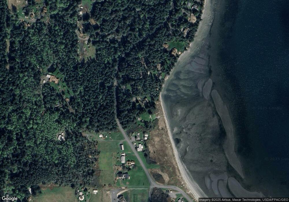
Map
Nearby Homes
- 137 Forest Ln
- 239 Shoreland Dr
- 783 Ferry Rd
- 755 Ferry Rd
- 162 Sea Ranch Rd
- 1372 Bakerview Rd
- 331 Nelson Ln
- 230 Gem Farm Ln
- 104 Estenson Rd
- 95 Weeks Rd
- 315 Mariner Dr
- 1486 Center Rd
- 264 Shaw Park Rd
- 0 EC-19 E Cove Rd
- 295 Rum Runner Rd
- 4 Rum Runner Rd
- 583 Rum Runner Rd
- 268 Rum Runner Rd
- 68 Sylvan Cove Rd W
- 1898 Bayshore Rd
- 1269 Port Stanley Rd
- 1239 Port Stanley Rd
- 1213 Port Stanley Rd
- 1185 Port Stanley Rd
- 1337 Port Stanley Rd
- 1318 Port Stanley Rd
- 1107 Port Stanley Rd
- 1366 Port Stanley Rd
- 12 Biggs Ln
- 1073 Port Stanley Rd
- 1264 Port Stanley Rd
- 1045 Port Stanley Rd
- 1142 Port Stanley Rd
- 1035 Port Stanley Rd
- 1468 Port Stanley Rd
- 108 Heffalump Ln
- 1019 Port Stanley Rd
- 84 Heffalump Ln
- 964 Port Stanley Rd
- 1007 Port Stanley Rd