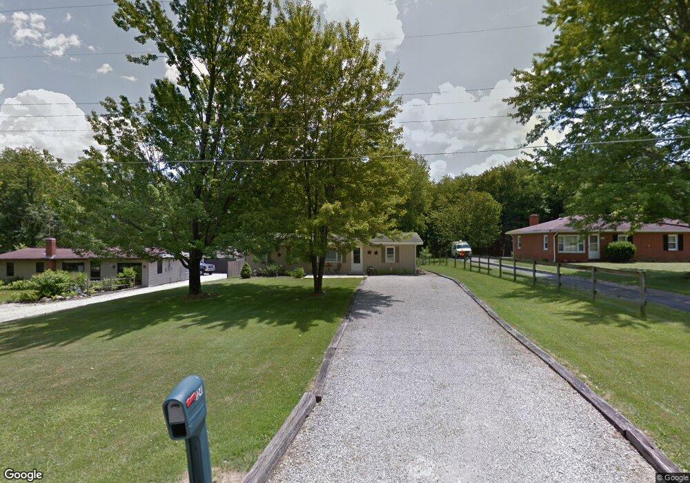
1245 Poth Rd Mansfield, OH 44906
Estimated Value: $151,000 - $178,000
3
Beds
1
Bath
1,416
Sq Ft
$116/Sq Ft
Est. Value
About This Home
This home is located at 1245 Poth Rd, Mansfield, OH 44906 and is currently estimated at $163,667, approximately $115 per square foot. 1245 Poth Rd is a home located in Richland County with nearby schools including Foundation Academy, Mansfield Elective Academy, and Goal Digital Academy.
Ownership History
Date
Name
Owned For
Owner Type
Purchase Details
Closed on
Aug 14, 2018
Sold by
Perry Linda L and Webb Linda L
Bought by
Webb Dennis and Webb Linda L
Current Estimated Value
Purchase Details
Closed on
Nov 10, 2005
Sold by
Jeffries Kevin W and Jeffries Sharon S
Bought by
Perry Linda L
Home Financials for this Owner
Home Financials are based on the most recent Mortgage that was taken out on this home.
Original Mortgage
$79,945
Outstanding Balance
$43,643
Interest Rate
5.98%
Mortgage Type
FHA
Estimated Equity
$120,024
Purchase Details
Closed on
Aug 16, 1993
Sold by
Barber Glen A
Bought by
Jeffries Kevin W
Create a Home Valuation Report for This Property
The Home Valuation Report is an in-depth analysis detailing your home's value as well as a comparison with similar homes in the area
Home Values in the Area
Average Home Value in this Area
Purchase History
| Date | Buyer | Sale Price | Title Company |
|---|---|---|---|
| Webb Dennis | -- | None Available | |
| Perry Linda L | $81,200 | Ltic | |
| Jeffries Kevin W | $35,000 | -- |
Source: Public Records
Mortgage History
| Date | Status | Borrower | Loan Amount |
|---|---|---|---|
| Open | Perry Linda L | $79,945 |
Source: Public Records
Tax History
| Year | Tax Paid | Tax Assessment Tax Assessment Total Assessment is a certain percentage of the fair market value that is determined by local assessors to be the total taxable value of land and additions on the property. | Land | Improvement |
|---|---|---|---|---|
| 2024 | $184 | $3,280 | $3,280 | $0 |
| 2023 | $184 | $3,280 | $3,280 | $0 |
| 2022 | $200 | $2,930 | $2,930 | $0 |
| 2021 | $201 | $2,930 | $2,930 | $0 |
| 2020 | $209 | $2,990 | $2,930 | $60 |
| 2019 | $200 | $2,550 | $2,490 | $60 |
| 2018 | $1,507 | $20,840 | $4,510 | $16,330 |
| 2017 | $1,494 | $20,840 | $4,510 | $16,330 |
| 2016 | $1,521 | $20,800 | $4,280 | $16,520 |
| 2015 | $1,521 | $20,800 | $4,280 | $16,520 |
| 2014 | $1,408 | $20,800 | $4,280 | $16,520 |
| 2012 | $568 | $21,290 | $4,510 | $16,780 |
Source: Public Records
Map
Nearby Homes
- 1092 N Trimble Rd
- 1101 Lenox Ave
- 1087 Fairfax Ave
- 1005 Truxell Dr
- 1590 Walker Woods Blvd
- 1592 Walker Woods Blvd
- 1077 Benedict Ave
- Lot 2 Spring Village Ln
- 933 Fairfax Ave
- 878 Fairfax Ave
- 1501 Bowman St
- 891 Springmill Rd
- 728 N Trimble Rd
- 640 Hanna Rd
- 1980 Walker Lake Rd
- 739 Armstrong St
- 641 Averill Ave
- 1909 Teakwood Dr
- 1496 W 4th St
- 1665 Olive Dr
Your Personal Tour Guide
Ask me questions while you tour the home.