1245 Primrose Dr Unit 2 Roswell, GA 30076
Estimated Value: $484,000 - $503,000
3
Beds
2
Baths
1,722
Sq Ft
$288/Sq Ft
Est. Value
About This Home
This home is located at 1245 Primrose Dr Unit 2, Roswell, GA 30076 and is currently estimated at $495,861, approximately $287 per square foot. 1245 Primrose Dr Unit 2 is a home located in Fulton County with nearby schools including Sweet Apple Elementary School, Elkins Pointe Middle School, and Milton High School.
Ownership History
Date
Name
Owned For
Owner Type
Purchase Details
Closed on
Dec 7, 1993
Sold by
S G Torrey Atlanta Ltd
Bought by
Hensley Audrey D
Current Estimated Value
Home Financials for this Owner
Home Financials are based on the most recent Mortgage that was taken out on this home.
Original Mortgage
$120,350
Interest Rate
7.05%
Mortgage Type
FHA
Create a Home Valuation Report for This Property
The Home Valuation Report is an in-depth analysis detailing your home's value as well as a comparison with similar homes in the area
Home Values in the Area
Average Home Value in this Area
Purchase History
| Date | Buyer | Sale Price | Title Company |
|---|---|---|---|
| Hensley Audrey D | $120,000 | -- |
Source: Public Records
Mortgage History
| Date | Status | Borrower | Loan Amount |
|---|---|---|---|
| Closed | Hensley Audrey D | $120,350 |
Source: Public Records
Tax History Compared to Growth
Tax History
| Year | Tax Paid | Tax Assessment Tax Assessment Total Assessment is a certain percentage of the fair market value that is determined by local assessors to be the total taxable value of land and additions on the property. | Land | Improvement |
|---|---|---|---|---|
| 2025 | $500 | $173,080 | $45,080 | $128,000 |
| 2023 | $4,928 | $174,600 | $60,600 | $114,000 |
| 2022 | $1,509 | $141,800 | $31,640 | $110,160 |
| 2021 | $1,838 | $124,920 | $27,400 | $97,520 |
| 2020 | $1,853 | $115,880 | $24,200 | $91,680 |
| 2019 | $357 | $113,800 | $23,760 | $90,040 |
| 2018 | $1,800 | $111,120 | $23,200 | $87,920 |
| 2017 | $1,450 | $88,200 | $17,600 | $70,600 |
| 2016 | $1,445 | $88,200 | $17,600 | $70,600 |
| 2015 | $1,817 | $88,200 | $17,600 | $70,600 |
| 2014 | $2,017 | $78,800 | $16,960 | $61,840 |
Source: Public Records
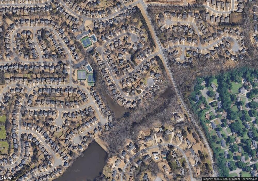
Map
Nearby Homes
- 1115 Primrose Dr
- 530 Camber Woods Dr
- 565 Camber Woods Dr
- 2230 Ashton Dr
- 600 Rounsaville Rd
- 4404 Orchard Trace
- 640 Mae Ln
- 290 Rucker Rd
- 1040 Jordan Ln
- 300 Saddle Creek Ln
- 285 N Farm Dr
- 406 Sweet Apple Cir
- 755 Anna Ln
- 12250 Broadwell Rd
- 1110 Arya Dr
- 12440 Brookhill Crossing Ln
- 230 Bluff Oak Dr
- 220 Hollyberry Dr
- 1255 Primrose Dr
- 1085 Bradford Dr
- 1075 Bradford Dr
- 1065 Bradford Dr
- 1330 Primrose Dr
- 1340 Primrose Dr
- 1350 Primrose Dr Unit 2
- 1055 Bradford Dr
- 1360 Primrose Dr
- 1310 Primrose Dr Unit 1
- 1300 Primrose Dr
- 1320 Primrose Dr
- 1275 Primrose Dr
- 1225 Primrose Dr
- 1370 Primrose Dr Unit 2
- 1380 Primrose Dr
- 1045 Bradford Dr
- 1280 Primrose Dr Unit 1
- 1050 Bradford Dr
- 0 Primrose Dr Unit 7477080