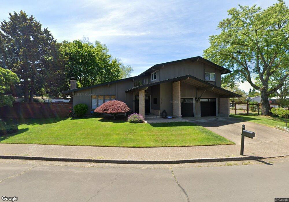
1245 Quince Dr Junction City, OR 97448
Estimated Value: $462,941 - $530,000
4
Beds
3
Baths
2,100
Sq Ft
$230/Sq Ft
Est. Value
About This Home
This home is located at 1245 Quince Dr, Junction City, OR 97448 and is currently estimated at $482,985, approximately $229 per square foot. 1245 Quince Dr is a home located in Lane County with nearby schools including Junction City High School.
Ownership History
Date
Name
Owned For
Owner Type
Purchase Details
Closed on
May 2, 2019
Sold by
Moran Patricia B
Bought by
Timshel Misti and Timshel Jeff
Current Estimated Value
Purchase Details
Closed on
Sep 7, 2017
Sold by
Rothenberger Craig R and Rothenberger Arlene
Bought by
Dye Eric and Meek Rachel
Home Financials for this Owner
Home Financials are based on the most recent Mortgage that was taken out on this home.
Original Mortgage
$246,500
Interest Rate
3.93%
Mortgage Type
New Conventional
Create a Home Valuation Report for This Property
The Home Valuation Report is an in-depth analysis detailing your home's value as well as a comparison with similar homes in the area
Home Values in the Area
Average Home Value in this Area
Purchase History
| Date | Buyer | Sale Price | Title Company |
|---|---|---|---|
| Timshel Misti | $57,500 | First American Title | |
| Dye Eric | $290,000 | First American |
Source: Public Records
Mortgage History
| Date | Status | Borrower | Loan Amount |
|---|---|---|---|
| Previous Owner | Dye Eric | $246,500 |
Source: Public Records
Tax History Compared to Growth
Tax History
| Year | Tax Paid | Tax Assessment Tax Assessment Total Assessment is a certain percentage of the fair market value that is determined by local assessors to be the total taxable value of land and additions on the property. | Land | Improvement |
|---|---|---|---|---|
| 2024 | $4,329 | $257,888 | -- | -- |
| 2023 | $4,329 | $250,377 | $0 | $0 |
| 2022 | $4,039 | $243,085 | $0 | $0 |
| 2021 | $3,958 | $236,005 | $0 | $0 |
| 2020 | $3,832 | $229,132 | $0 | $0 |
| 2019 | $3,697 | $222,459 | $0 | $0 |
| 2018 | $3,590 | $209,689 | $0 | $0 |
| 2017 | $3,464 | $209,689 | $0 | $0 |
| 2016 | $3,368 | $203,582 | $0 | $0 |
| 2015 | $2,977 | $197,652 | $0 | $0 |
| 2014 | $2,989 | $191,895 | $0 | $0 |
Source: Public Records
Map
Nearby Homes
- 1011 Rose St
- 850 Spruce St
- 1225 W 10th Ave Unit 53
- 1225 W 10th Ave Unit 50
- 1225 W 10th Ave Unit 28
- 1225 W 10th Ave Unit 26
- 945 W 17th Ave
- 1262 Kalmia St
- 847 Unity Dr
- 1377 Juniper St
- 94403 Oaklea Dr
- 1480 Ivy St
- 617 Juniper St
- 0 Holly St
- 930 Holly St
- 2313 W 10th Ave
- 2331 W 10th Ave
- 2347 W 10th Ave
- 1816 W 4th Ave
- 2363 W 10th Ave
- 1291 Quince Dr
- 1231 Quince Dr
- 1201 Quince Dr
- 1280 Rose St
- 1260 Quince Dr
- 1240 Quince Dr
- 1288 Quince Dr
- 1181 Quince Dr
- 0 Quince Dr Unit 8025056
- 0 Quince Dr Unit 8025044
- 0 Quince Dr Unit 8025022
- 0 Quince Dr
- 1296 Quince Dr
- 1280 Quince Dr
- 1240 Rose St
- 1200 Quince Dr
- 1171 Quince Dr
- 1121 Quince Dr
- 1220 Address Unknown St
- 1180 Quince Dr