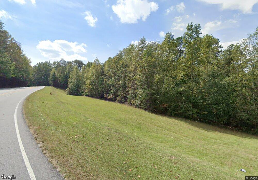
12450 Highway 19 N Dahlonega, GA 30533
Estimated Value: $460,000 - $701,175
--
Bed
--
Bath
1,152
Sq Ft
$504/Sq Ft
Est. Value
About This Home
This home is located at 12450 Highway 19 N, Dahlonega, GA 30533 and is currently estimated at $580,588, approximately $503 per square foot. 12450 Highway 19 N is a home with nearby schools including Lumpkin County High School.
Ownership History
Date
Name
Owned For
Owner Type
Purchase Details
Closed on
Feb 8, 1988
Sold by
Martin Billy J
Bought by
Martin Billy J
Current Estimated Value
Purchase Details
Closed on
Feb 1, 1988
Sold by
Martin Billy J
Bought by
Martin Billy J
Purchase Details
Closed on
Feb 1, 1987
Sold by
Martin Billy J
Bought by
Martin Billy J
Purchase Details
Closed on
May 10, 1982
Sold by
Martin Billy J
Bought by
Martin Billy J
Purchase Details
Closed on
May 1, 1982
Bought by
Martin Billy J
Create a Home Valuation Report for This Property
The Home Valuation Report is an in-depth analysis detailing your home's value as well as a comparison with similar homes in the area
Home Values in the Area
Average Home Value in this Area
Purchase History
| Date | Buyer | Sale Price | Title Company |
|---|---|---|---|
| Martin Billy J | -- | -- | |
| Martin Billy J | -- | -- | |
| Martin Billy J | -- | -- | |
| Martin Billy J | -- | -- | |
| Martin Billy J | -- | -- |
Source: Public Records
Tax History Compared to Growth
Tax History
| Year | Tax Paid | Tax Assessment Tax Assessment Total Assessment is a certain percentage of the fair market value that is determined by local assessors to be the total taxable value of land and additions on the property. | Land | Improvement |
|---|---|---|---|---|
| 2024 | $1,849 | $255,961 | $202,214 | $53,747 |
| 2023 | $1,732 | $224,316 | $174,322 | $49,994 |
| 2022 | $1,607 | $200,715 | $158,475 | $42,240 |
| 2021 | $1,373 | $193,282 | $158,475 | $34,807 |
| 2020 | $1,374 | $192,271 | $158,475 | $33,796 |
| 2019 | $1,372 | $192,271 | $158,475 | $33,796 |
| 2018 | $1,337 | $188,347 | $158,475 | $29,872 |
| 2017 | $1,338 | $187,959 | $158,475 | $29,484 |
| 2016 | $1,251 | $184,028 | $158,475 | $25,553 |
| 2015 | $1,087 | $184,028 | $158,475 | $25,553 |
| 2014 | $1,087 | $184,350 | $158,475 | $25,876 |
| 2013 | -- | $184,995 | $158,474 | $26,520 |
Source: Public Records
Map
Nearby Homes
- 129 Pine Rd
- 31 Pine Rd
- 0 Damascus Church Rd Unit 21674636
- 310 Highland Trail
- 532 Highland Trail
- 457 Celie Ann Seabolt Rd
- 11161 Highway 19 N
- 0 Highway 129 N Unit 10601810
- 412 Fireside Ridge Dr
- 0 Paradise Valley Rd Unit 10468779
- 0 Ts Jarrard Rd Unit Tract 3
- 180 Alonzo Cain Rd
- 0 Ts Jarrard Rd Unit TRACT 3
- 748 Damascus Church Rd
- 169 Dunns Rd
- T S T S Jarrard Rd
- 33 Anglican Way
- 802 Pine Knot Dr
- 0 Seabolt Stancil Rd Unit 23277875
- 15103 Highway 19 N
- 1000 John Crow Rd
- 59 Brandywine Dr
- 12788 Highway 19 N
- 109 Beehive Dr
- 419 Muscadine Rd
- 12960 Highway 19 N
- 0 Mountain Cove Rd
- 0 Mountain Cove Rd Unit 8545275
- 0 Mountain Cove Rd Unit 8406604
- 0 Mountain Cove Rd Unit 7458809
- 137 Branchwood Dr
- 00 Neverland Trail
- 0 Neverland Trail Unit 2682607
- 0 Neverland Trail Unit 8053884
- 0 Neverland Trail Unit 7568018
- 0 Neverland Trail Unit 7296804
- 0 Neverland Trail Unit 7344512
- 0 Neverland Trail Unit 7177333
- 0 Neverland Trail Unit 3106967
- 31 Beehive Dr
