Estimated Value: $207,000 - $289,000
2
Beds
1
Bath
1,180
Sq Ft
$204/Sq Ft
Est. Value
About This Home
This home is located at 12450 S Bauer Rd, Eagle, MI 48822 and is currently estimated at $240,234, approximately $203 per square foot. 12450 S Bauer Rd is a home located in Clinton County with nearby schools including Wacousta Elementary School, Leon W. Hayes Middle School, and Grand Ledge High School.
Ownership History
Date
Name
Owned For
Owner Type
Purchase Details
Closed on
Jul 13, 2023
Sold by
Michael A Esch Revocable Trust
Bought by
Colburn Frank
Current Estimated Value
Home Financials for this Owner
Home Financials are based on the most recent Mortgage that was taken out on this home.
Original Mortgage
$172,000
Outstanding Balance
$167,897
Interest Rate
6.79%
Mortgage Type
New Conventional
Estimated Equity
$72,337
Create a Home Valuation Report for This Property
The Home Valuation Report is an in-depth analysis detailing your home's value as well as a comparison with similar homes in the area
Purchase History
| Date | Buyer | Sale Price | Title Company |
|---|---|---|---|
| Colburn Frank | $215,000 | Ata National Title Group |
Source: Public Records
Mortgage History
| Date | Status | Borrower | Loan Amount |
|---|---|---|---|
| Open | Colburn Frank | $172,000 |
Source: Public Records
Tax History
| Year | Tax Paid | Tax Assessment Tax Assessment Total Assessment is a certain percentage of the fair market value that is determined by local assessors to be the total taxable value of land and additions on the property. | Land | Improvement |
|---|---|---|---|---|
| 2025 | $1,024 | $90,200 | $37,000 | $53,200 |
| 2024 | $10 | $86,000 | $34,100 | $51,900 |
| 2023 | $437 | $79,200 | $0 | $0 |
| 2022 | $1,113 | $74,000 | $35,700 | $38,300 |
| 2021 | $1,077 | $71,700 | $37,700 | $34,000 |
| 2020 | $1,047 | $66,700 | $34,700 | $32,000 |
| 2019 | $1,006 | $62,200 | $33,300 | $28,900 |
| 2018 | $924 | $57,099 | $31,050 | $26,049 |
| 2017 | $913 | $57,523 | $31,750 | $25,773 |
| 2016 | $908 | $56,268 | $30,500 | $25,768 |
| 2015 | $921 | $54,849 | $0 | $0 |
| 2011 | -- | $50,978 | $0 | $0 |
Source: Public Records
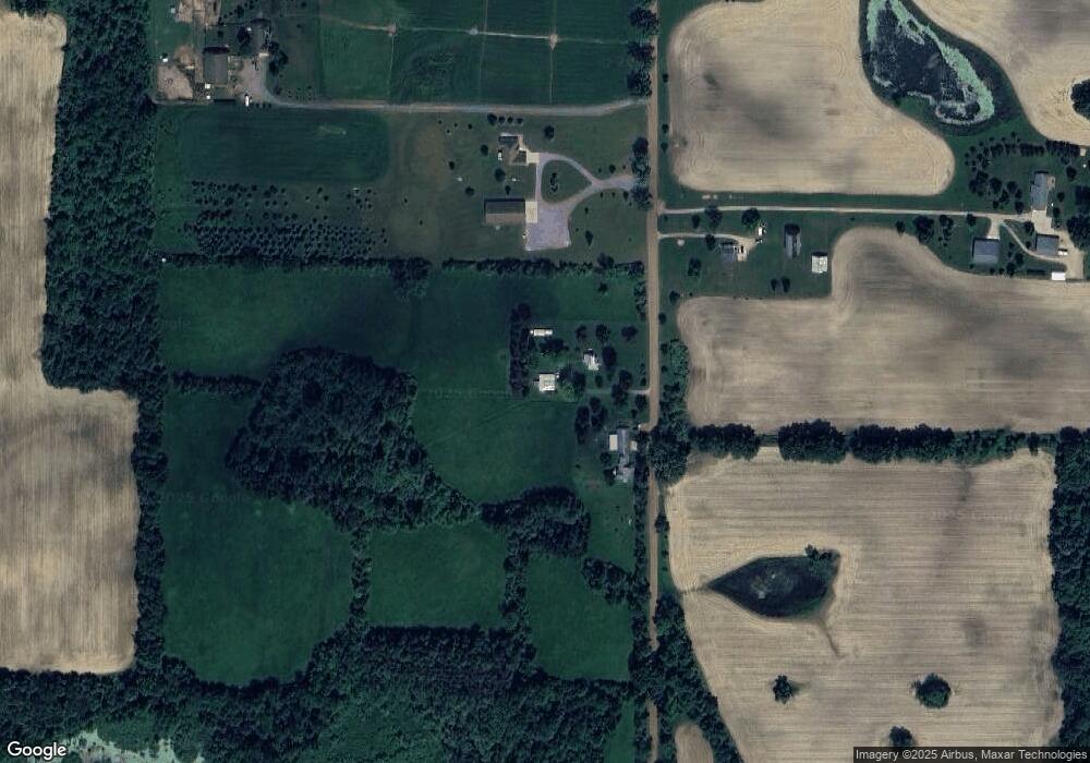
Map
Nearby Homes
- 12800 S Wright Rd
- 11471 S Bauer Rd
- 11781 W Herbison Rd
- 8201 W Howe Rd
- 11500 Eden Trail
- 7713 Jon Scott Dr
- 11191 W Chadwick Rd
- 10880 S Francis Rd
- 13573 Hawaii Ave Unit 64
- 13748 Alaska Ave
- 7837 W Grand
- 6260 W Chadwick Rd
- 14507 McCrumb Rd
- 6157 W Stoll Rd
- 839 Saint Johns Chase
- 0 Saint Johns Chase
- 981 Saint Johns Chase
- 7072 N River Hwy
- 4975 W Cutler Rd
- 992 Pennine Ridge Way
- 12470 S Bauer Rd
- 12400 S Bauer Rd
- 12403 S Bauer Rd
- 0 S Bauer Rd
- 12271 S Bauer Rd
- 12320 S Bauer Rd
- 12353 S Bauer Rd
- 12240 S Bauer Rd
- 12211 S Bauer Rd
- 12190 S Bauer Rd
- 12150 S Bauer Rd
- 12790 S Bauer Rd
- 12065 S Bauer Rd
- 10220 W Herbison Rd
- 12881 S Bauer Rd
- 10179 W Howe Rd
- 12880 S Bauer Rd
- 10151 W Howe Rd
- 4 W Est Herbison 8822
Your Personal Tour Guide
Ask me questions while you tour the home.