12455 Highway 101 S Tillamook, OR 97141
Estimated Value: $287,000 - $440,000
4
Beds
1
Bath
1,451
Sq Ft
$250/Sq Ft
Est. Value
About This Home
This home is located at 12455 Highway 101 S, Tillamook, OR 97141 and is currently estimated at $362,698, approximately $249 per square foot. 12455 Highway 101 S is a home located in Tillamook County with nearby schools including Tillamook High School.
Ownership History
Date
Name
Owned For
Owner Type
Purchase Details
Closed on
Mar 19, 2012
Sold by
Merritt Linda P
Bought by
Merritt Linda P and Brink Robert
Current Estimated Value
Purchase Details
Closed on
Sep 27, 2007
Sold by
Wade Lance C and Wade Michael A
Bought by
Merritt Linda P
Home Financials for this Owner
Home Financials are based on the most recent Mortgage that was taken out on this home.
Original Mortgage
$90,000
Outstanding Balance
$56,920
Interest Rate
6.46%
Mortgage Type
Purchase Money Mortgage
Estimated Equity
$305,778
Create a Home Valuation Report for This Property
The Home Valuation Report is an in-depth analysis detailing your home's value as well as a comparison with similar homes in the area
Home Values in the Area
Average Home Value in this Area
Purchase History
| Date | Buyer | Sale Price | Title Company |
|---|---|---|---|
| Merritt Linda P | -- | First American | |
| Merritt Linda P | $90,000 | Fidelity National Title Co |
Source: Public Records
Mortgage History
| Date | Status | Borrower | Loan Amount |
|---|---|---|---|
| Open | Merritt Linda P | $90,000 |
Source: Public Records
Tax History Compared to Growth
Tax History
| Year | Tax Paid | Tax Assessment Tax Assessment Total Assessment is a certain percentage of the fair market value that is determined by local assessors to be the total taxable value of land and additions on the property. | Land | Improvement |
|---|---|---|---|---|
| 2024 | $1,319 | $131,820 | $61,410 | $70,410 |
| 2023 | $1,311 | $127,990 | $59,620 | $68,370 |
| 2022 | $1,265 | $124,270 | $57,880 | $66,390 |
| 2021 | $1,228 | $120,660 | $56,190 | $64,470 |
| 2020 | $1,195 | $117,150 | $54,550 | $62,600 |
| 2019 | $1,165 | $113,740 | $52,960 | $60,780 |
| 2018 | $1,136 | $110,430 | $51,420 | $59,010 |
| 2017 | $1,108 | $107,220 | $49,920 | $57,300 |
| 2016 | $1,065 | $104,100 | $48,470 | $55,630 |
| 2015 | $1,045 | $101,070 | $47,060 | $54,010 |
| 2014 | $1,030 | $98,130 | $45,690 | $52,440 |
| 2013 | -- | $95,280 | $44,360 | $50,920 |
Source: Public Records
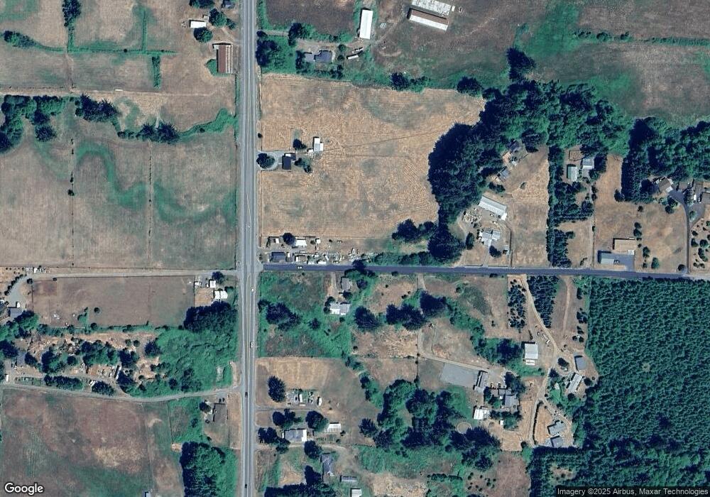
Map
Nearby Homes
- 6205 Munson Creek Rd
- 11605 Highway 101 S
- 11605 U S 101 S
- 7400 S Prairie Rd
- 6500 Weber Rd
- 17805 Highway 101 S
- TL #01400 Blaser Ln
- 01400 Blaser Ln
- 9225 Mill Creek Rd
- 9225 Millcreek Rd
- 4050 Tillamook River Rd
- 3195 Fitzpatrick Rd
- 9065 Trask River Rd
- 0 Valley View Dr Unit 24275744
- TL 405 Edelwyss Rd
- 0 Edelwyss Rd Unit 405 731536279
- 22600 Blaine Rd
- 0 12th St Unit 2405
- 1690 Skyline Dr
- TL#02600 12th St
- 12495 Highway 101 S
- 12495 U S 101
- 12530 Highway 101 S
- 12530 Highway 101 S
- 12395 Highway 101 S
- 13014 U S 101 S
- 0 Hwy 101 S Unit 98-90238
- 0 Hwy 101 S Unit 7-827
- 12700 Highway 101 S
- 12235 Highway 101 S
- 12235 U S 101 S
- 12745 Highway 101 S
- 6370 Munson Creek Rd
- 12765 Highway 101 S
- 12140 Highway 101 S
- 6360 Munson Creek Rd
- 12815 U S 101 S
- 12815 Highway 101 S
- 12815 Highway 101 S
- 12650 Highway 101 S