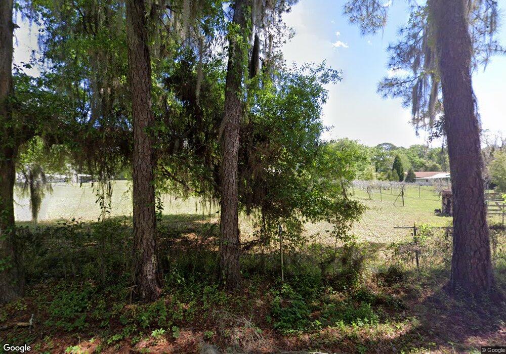
12456 31st Rd Wellborn, FL 32094
Estimated Value: $248,213 - $344,000
2
Beds
2
Baths
1,440
Sq Ft
$202/Sq Ft
Est. Value
About This Home
This home is located at 12456 31st Rd, Wellborn, FL 32094 and is currently estimated at $290,803, approximately $201 per square foot. 12456 31st Rd is a home located in Suwannee County with nearby schools including Suwannee Riverside Elementary School, Suwannee Springcrest Elementary School, and Suwannee Pineview Elementary School.
Ownership History
Date
Name
Owned For
Owner Type
Purchase Details
Closed on
Jul 11, 2018
Sold by
Benzing Dolores W
Bought by
Benzing Kelli L
Current Estimated Value
Purchase Details
Closed on
Jan 3, 2017
Sold by
Benzing Dolores W
Bought by
Benzing Smith Jan T
Purchase Details
Closed on
Nov 15, 2013
Sold by
Benzing William and Benzing Delores W
Bought by
Simmons Oscar Carl
Purchase Details
Closed on
Oct 30, 2008
Sold by
Benzing William M and Benzing Delores W
Bought by
Simmons Oscar Carl
Create a Home Valuation Report for This Property
The Home Valuation Report is an in-depth analysis detailing your home's value as well as a comparison with similar homes in the area
Home Values in the Area
Average Home Value in this Area
Purchase History
| Date | Buyer | Sale Price | Title Company |
|---|---|---|---|
| Benzing Kelli L | -- | Attorney | |
| Benzing Smith Jan T | -- | None Available | |
| Simmons Oscar Carl | -- | None Available | |
| Simmons Oscar Carl | $4,000 | Abstract & Title Svcs Inc |
Source: Public Records
Tax History Compared to Growth
Tax History
| Year | Tax Paid | Tax Assessment Tax Assessment Total Assessment is a certain percentage of the fair market value that is determined by local assessors to be the total taxable value of land and additions on the property. | Land | Improvement |
|---|---|---|---|---|
| 2024 | $907 | $192,738 | $17,200 | $175,538 |
| 2023 | $907 | $98,246 | $0 | $0 |
| 2022 | $930 | $136,764 | $17,200 | $119,564 |
| 2021 | $989 | $115,672 | $10,416 | $105,256 |
| 2020 | $857 | $96,067 | $0 | $0 |
| 2019 | $834 | $93,939 | $0 | $0 |
| 2018 | $808 | $92,214 | $0 | $0 |
| 2017 | $795 | $90,347 | $0 | $0 |
| 2016 | $1,023 | $88,518 | $0 | $0 |
| 2015 | $1,033 | $88,372 | $0 | $0 |
| 2014 | $1,011 | $87,296 | $0 | $0 |
Source: Public Records
Map
Nearby Homes
- LOT 2 Beulah Estates
- 0 Us-90 Unit 114370
- 12437 County Road 137
- 12655 Cr 137
- TBD Us 90
- 13236 County Road 137
- 2752 140th Terrace
- 786 SW Bozeman Ct
- TBD SW Bozeman Ct
- 344 SW Bozeman Ct
- 182 SW Mikes Glen
- TBD Osceola Rd Lot 1 - 4
- TBD Osceola Rd Lot 2 - 5
- TBD Osceola Rd Lot 2 B 4
- TBD SW Mossy Oak Way
- 9897 Adams Rd
- 125 SW Mallard Glen
- 15063 29th Rd
- 0 Mayo Rd Unit 128525
- 237 NW Lower Springs Rd
- 12416 31st Rd
- 12224 S County Road 10a
- 3124 122nd Trail
- 12429 S County Road 10a
- 12294 S County Road 10a
- 12241 29th Rd
- 12402 S County Road 10a
- 3345 W County Road 10a
- 12084 N County Road 250
- 96 8th Ave
- 1008 3rd Ave
- 428 1st Ave
- 2737 122nd Terrace
- 1015 3rd Ave
- 1037 3rd Ave
- 432 1st Ave
- 12832 27th Dr
- 12814 S County Road 10a
- 12009 County Road 250
- 105 6th Ave
